

Here is the scenario nobody warns you about the first time. You are three forks deep into a spider web of forest roads, the sun is doing that thing where it drops way faster than you planned, and you pull out your phone to check the map. Full battery. Zero bars. That blue dot that has guided your entire adult life is just sitting there, spinning, useless. The little “your location” pulse is the last honest thing your phone will do for the next four hours.
This is the single most common way people end up in trouble off-road. Not a broken axle, not a rollover. A wrong turn plus no signal plus a dead reckoning guess that turns a two-hour loop into a night spent sleeping in the truck. The fix is not more cell service. The fix is an app that already downloaded the map to your phone before you left pavement, so it does not need a tower to know where you are. Your phone’s GPS chip talks straight to satellites. It works in the middle of nowhere. The map is the part you have to plan for.
So let me walk you through the apps that actually do this well, what they cost, and which one fits how you wheel. No affiliate nonsense, no “they’re all great” cop-out. Some of these are genuinely better than others depending on what you drive and where.
First, understand what “offline” really means
Before we get to specific apps, the one concept that matters more than any feature list: your phone has two separate things going on. The GPS receiver, which is a chip that listens to satellites and figures out where you are, and the map, which is a huge pile of image tiles your app normally streams over the internet.
The GPS chip does not need cell service. Ever. It works on the moon. What dies past the last tower is the map streaming. So the entire game of off-road navigation is downloading the map area you plan to explore while you still have wifi or signal, so the app has tiles to draw your position on top of when you go dark.
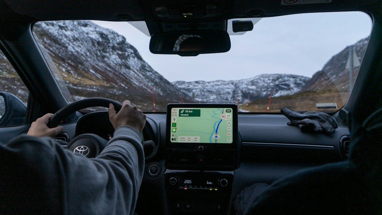 Photo: Ed Wingate / Unsplash
Every app below does this differently, and the size and quality of what you can download offline is a big part of what separates them. Download a generous buffer around your route, not just a thin ribbon. You will go off-plan. You always do.
onX Offroad: the one most wheelers land on
If you asked ten off-roaders what they run and made them pick one, onX Offroad wins more of those votes than anything else right now, and for good reason. It was built for exactly this use case, not adapted from a hiking app.
The trail database is the headline. Thousands of named, motorized routes with difficulty ratings, and increasingly, community Trail Reports that show recent conditions, obstacles, and closures. That last part is huge. Knowing a trail is technically on the map is one thing. Knowing someone ran it last week and reported a washout is what actually keeps you out of trouble. onX also layers in public and private land boundaries, which matters more than people realize when a “trail” quietly crosses onto private property.
 Photo: Jaanus Jagomägi / Unsplash
Pricing as of 2026: Premium runs $34.99 a year, which gets you feature trails, unlimited saved maps, photo waypoints, 3D maps, and offline downloads. Elite is $99.99 a year and adds the deeper land ownership data, landowner names, and lot info that hunters and rural travelers care about. Most trail folks are completely happy on Premium. There is a free trial so you can pressure test it on a real trip before paying.
One thing worth knowing: onX Offroad projects to your dash through Apple CarPlay and Android Auto, so you are looking at a real in-dash map instead of squinting at a phone rattling in a vent mount. Route Builder has a snap-to-trail function that connects the trail network into a multi-day route you can save and share. And if you already pay for onX Hunt or onX Backcountry, heads up: Offroad is a separate subscription. They do not share access, which annoys people every single year.
Gaia GPS: the power user’s map room
Gaia is the other name you hear constantly, and it comes at the problem from a different angle. Where onX is a purpose-built off-road trail app, Gaia is a deep, flexible mapping platform that off-roaders, hikers, hunters, and backcountry skiers all bend to their needs.
The strength is the map layers. Gaia lets you stack topo, satellite, USFS motor vehicle use maps, slope shading, weather overlays, and a long list of others, and you can layer them semi-transparently to build exactly the view you want. For someone plotting a 1,000-mile overland track across multiple states and land agencies, that flexibility is worth a lot. It also has genuinely good global coverage through OpenStreetMap layers, so it travels better than most if you wheel outside the US.
 Photo: Max Frew / Unsplash
The tradeoffs are real, though. Gaia has a steeper learning curve, and it does not have onX’s curated database of named, difficulty-rated off-road trails with community condition reports. You are more the cartographer here, less the passenger. And the pricing has been a moving target. Standalone Premium historically sat at $39.99 a year, then climbed, and Gaia has increasingly pushed the pricier Outside+ bundle that folds Gaia in with a pile of other Outside media content. Check the current number on your app store before you commit, because it has genuinely changed several times in the last two years and the bundle can run well north of the old standalone price.
Rule of thumb: if you want a plug-and-play off-road experience with a big trail database, onX. If you want maximum control over what your map shows and you do not mind building routes from scratch, Gaia.
Avenza Maps: free, and quietly perfect for public-land maps
Here is one a lot of people sleep on. Avenza Maps is free to start, and its whole trick is that it turns official, georeferenced PDF maps into GPS-aware offline maps on your phone. This matters because the US Forest Service, BLM, and countless park systems publish free Motor Vehicle Use Maps and topo maps as georeferenced PDFs, and Avenza reads them.
Translate that: you can pull the actual, legally authoritative Forest Service motor vehicle use map for the district you are wheeling, load it into Avenza, and your blue dot shows up directly on the same map the ranger would hand you. For staying legal on which roads are actually open to motorized use, that is gold, and it costs nothing.
 Photo: Elke Karin Lugert / Unsplash
The free tier limits how many maps you can store at once, and the paid Plus and Pro tiers (annual subscriptions) unlock unlimited imports of your own geospatial PDFs, GeoTIFFs, and GeoPDFs. But for a huge number of trips, the free version plus a stack of official agency PDFs is a completely legitimate navigation setup. It is not a slick curated trail app. It is a way to carry the real, official map with a GPS dot on it, and that is exactly what you want when the question is “am I even allowed to drive this road.”
CalTopo: the planner’s tool that goes hard in the backcountry
CalTopo started as a browser-based mapping tool beloved by search and rescue teams and backcountry skiers, and the mobile app brings that horsepower to your phone. It is free to download, with paid tiers that unlock more.
For off-road specifically, the appeal is the terrain intelligence. Slope angle shading, layered topo and imagery, and the ability to plan a detailed route on a big screen at home and have it sync to your phone for the field. If your version of off-road involves remote, technical terrain where understanding the actual shape of the land matters, CalTopo is arguably the most serious planning tool on this list. It is less about a database of named 4x4 trails and more about reading terrain like a pro.
 Photo: Pascal Debrunner / Unsplash
Most people wheeling established trails do not need CalTopo. But if you are the type who scouts unmarked routes, links together forest roads nobody has named, or wants avalanche and slope data for high-country winter travel, it earns its spot in the kit.
Google Maps offline: the free backup nobody should skip
This one is not an off-road app at all, and that is exactly why you should have it set up. Google Maps lets you download a large map area for offline use, and for the paved and graded-road portions of your trip, the drive to the trailhead, the town with the gas station, the route home, it is free and it works.
The move is simple: before you leave home wifi, download the offline area covering your whole trip region in Google Maps. It will not show you named 4x4 trails or land boundaries. But when you pop back onto a county road after a day in the dirt and just need to get to pavement and fuel, having offline Google Maps as a no-cost backup is smart insurance. Pair it with onX or Avenza for the trail work, and you have covered both halves of the day for the price of one subscription.
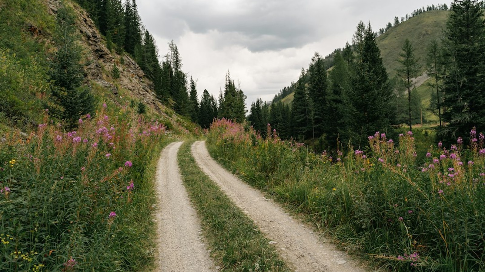 Photo: Azimbek Assarov / Unsplash
So which one do you actually buy?
Here is the honest breakdown, no hedging.
If you wheel established, named trails and want the least fuss, get onX Offroad Premium. The curated trail database, difficulty ratings, and community trail reports do real work, and $34.99 a year is fair for how much it keeps you out of trouble. This is the right answer for most people reading this.
If you build long, multi-agency overland routes and want to control every map layer, get Gaia GPS, and go in knowing the learning curve and the price shuffle are the cost of that flexibility.
If you are budget-focused or you care most about staying legal on public land, download Avenza for free, load the official USFS and BLM maps for your area, and lean on Google Maps offline for the paved connectors. That is a capable setup for very little money, and you can always add onX Offroad Premium later once you know you are hooked.
If you scout remote, technical, off-map terrain, CalTopo is the planning brain you want.
And no matter which you pick, download Google Maps offline for your trip region as the free backup, and always download a generous buffer around your route, not a thin line. The whole point is that when the blue dot stops spinning and the bars hit zero, the map is already sitting on your phone, waiting. The trail does not care how much signal you have. Neither should you.
Hero photo: Photo: Pixabay