

There are trails in Colorado that challenge you. Then there are trails that filter you. Holy Cross City is the second kind. Three and a half miles of near-constant boulder fields, a stream crossing that rearranges itself every spring, a giant rock with no line that could be called easy, and a genuine 1880s ghost town waiting at the top, all inside the White River National Forest at nearly 12,000 feet. This is one of the most technically demanding runs in the state, and it draws a crowd every weekend that will tell you, without exaggerating, that they have spent a full eight hours covering less than four miles.
The trail is a Jeep Badge of Honor route, which tells you something. What it does not tell you is that the trailhead sign requires a winch before you even start rolling. This is not a trail where a motivated driver in a lifted truck with big tires figures it out along the way. You need the gear, you need the skills, and you need to go with other people. Full stop.
What this trail actually is
Holy Cross City (Forest Road 759, also listed as Trail 759) runs through the Homestake Valley in Eagle County, managed by the White River National Forest under the Eagle-Holy Cross Ranger District. It climbs the north side of the Sawatch Range on a mining road that gold prospectors cut into the hillside in 1883, rising about 2,700 feet from the valley floor to the top of the trail at Cleveland Lake.
The route is an out-and-back of 3.8 miles one way. That sounds short until you realize the trail rates a 9 out of 10 on onX’s technical scale and routinely takes groups four to six hours to complete a single pass. The difficulty is relentless. Unlike a lot of “hard” trails that front-load the challenge and ease up near the top, Holy Cross is one boulder problem after another from the moment you leave the staging area. Most obstacles have bypasses. A few do not.
The name comes from the 14,009-foot mountain visible from parts of the trail: Mount of the Holy Cross, a peak famous for a natural cross formed by snowfields in two intersecting couloirs on its northeast face. The ghost town of Holy Cross City sits below the peak, and the trail exists because miners needed a road to reach it. The town never lasted long, its boom measured in a couple of years before the silver and gold played out, but it was real enough while it ran, with a hotel, a school, boarding houses, and close to 300 people living at nearly 12,000 feet through Colorado winters that do not forgive.
Getting to the trailhead
From the Minturn exit on I-70 (Exit 171), head south on US Highway 24 for about 13 miles to Homestake Road, Forest Service Road 703. Turn right (west) onto FS 703, which is a well-graded dirt road that takes you into the Homestake Valley. Drive about 7 miles to Gold Park Campground, a small Forest Service campground on the left. The FS 759 trailhead is just past the campground on the right side of the road. The staging area sits at roughly 39.4047 N, 106.4352 W.
There is no entry fee for the trail itself. You are on National Forest land, and FS 759 is a designated forest road open to motorized use. The Holy Cross Wilderness begins nearby, but the 4x4 trail sits outside the wilderness boundary. Motor vehicles are strictly prohibited inside the wilderness, so do not confuse the two. The wilderness is hiking and horse country. The trail is for the machines.
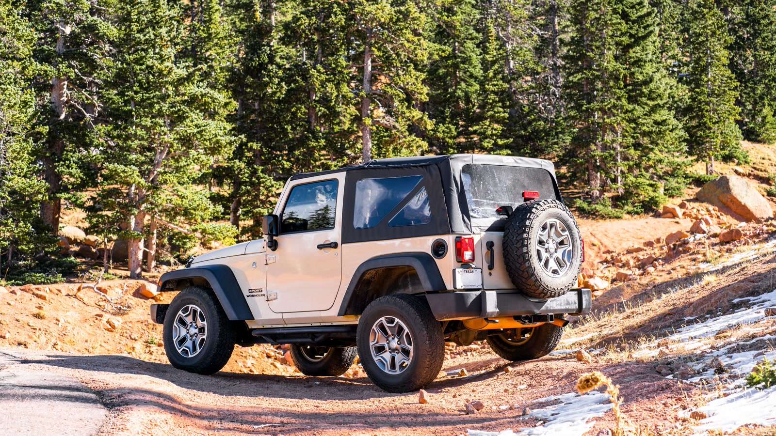 Photo: gabesdotphotos photographer / Pexels
Plan to arrive early. The trail jams up on summer weekends. Lines form at French Creek and Cleveland Rock while groups wait their turn to attempt the obstacles, and that adds time you cannot account for with any amount of planning. An early start also gives you room to turn back if something goes wrong without running out of daylight.
The lower section: the first 1.3 miles
The trail starts climbing immediately. There is no warm-up stretch of flat road before things get interesting. You begin gaining elevation right away, with a series of moderate-to-difficult boulder obstacles spread across the first mile-plus of the ascent. Most have a bypass line for rigs working near the edge of their capability, which is useful, but the bypasses are not always easy either.
At roughly 1.3 miles, there is an intersection where the one-way uphill section transitions into two-way traffic. That first stretch is designed for uphill travel only, to keep rigs from stacking up in a narrow choke point when someone ahead needs a recovery. Pay attention to this at the start. You are not the only vehicle on this trail, and moving against the grain creates problems for everyone.
Tire selection matters from the first obstacle. This trail has a soft rock layer over hardpan in places, and certain sections drain poorly after rain. Your tires will be dealing with wet granite ledges, mud pockets, and loose shale before you get anywhere near the big stuff. Drop your tire pressure before you leave the staging area, not after you get stuck wondering why you are sliding.
French Creek: the trail’s signature obstacle
French Creek is what most people picture when they think about Holy Cross City, and it deserves the reputation. The obstacle involves a long, shallow stream crossing followed immediately by a boulder field that changes configuration every year based on how hard the previous winter’s snowpack was and how much water ran through during spring melt. Some years the boulders sit relatively stable and a driver with good lines and a solid spotter can get through clean. Other years the water moves rocks around enough that the crossing feels categorically different from what anyone’s trip reports described.
The crossing itself is not particularly deep, usually below the door sills in a normal season, but wet tires going immediately onto large, rounded granite boulders is a combination that bites people. The boulders have tire-eating holes between them, and getting a front or rear tire dropped into one of those pockets is what the winch is for. There is no bypass. Every vehicle runs this obstacle.
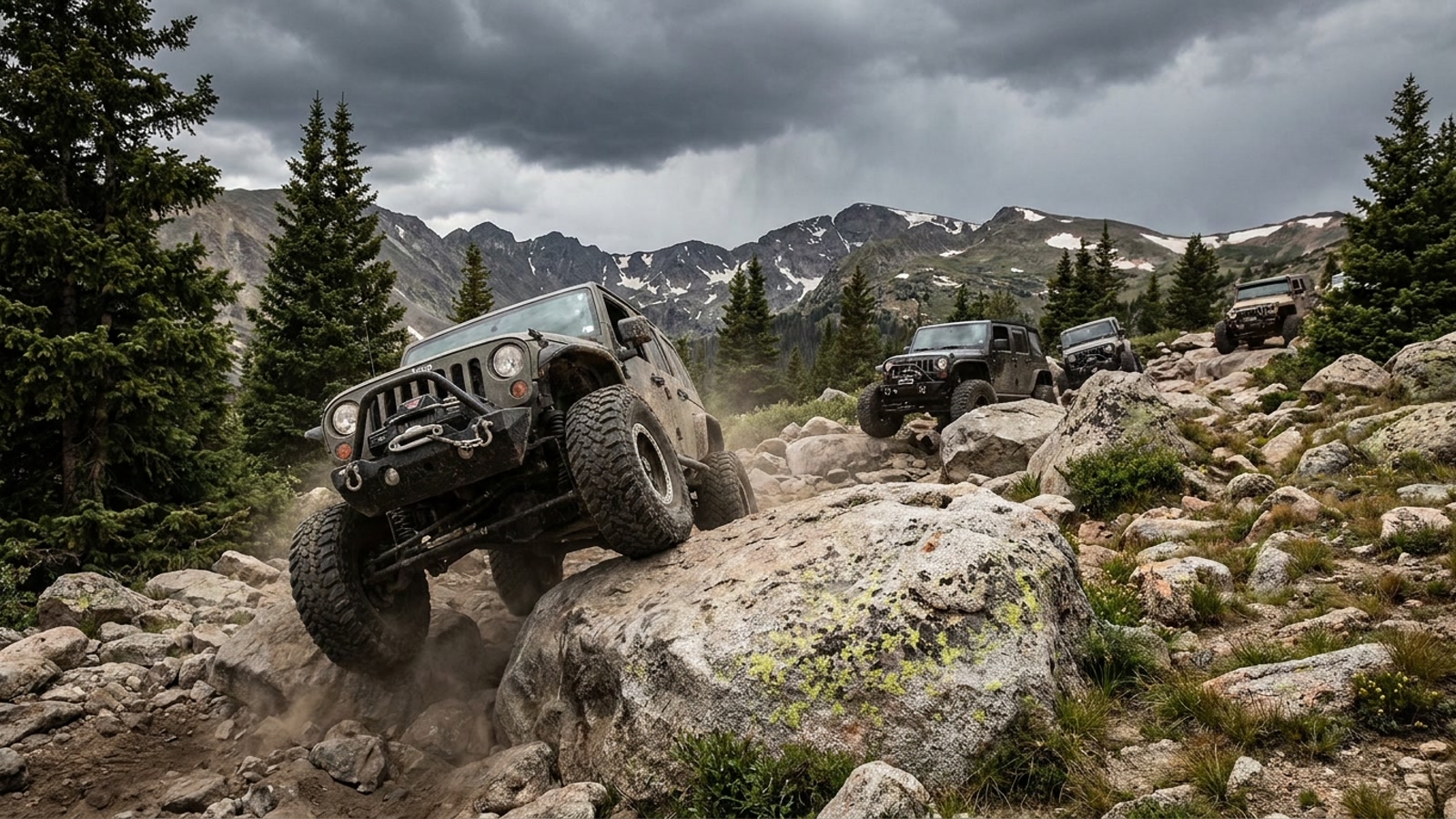 Photo: AI illustration (Gemini)
Watch other groups work through it before your turn. The line moves around depending on rock placement and water level, and watching a rig that knows the current conditions will tell you more than any written guide. If someone ahead of you takes a different line than you expected, ask why before you commit to your approach.
Holy Cross City: the ghost town at the top
Past French Creek, the trail continues climbing toward the ghost town site. The ruins of Holy Cross City appear at roughly 3 miles in, at an elevation around 11,700 feet. At its peak in the early 1880s, this was a full mining camp: two stamp mills, a post office, a general store, boarding houses, a school, and a hotel. For a brief window, close to 300 people lived and worked here at this altitude, with deep snow in winter and a short growing season that kept the camp entirely dependent on supply runs over the same road you just drove.
The mines played out fast. Holy Cross City was largely abandoned by 1884, just a few years after the road that now carries your vehicle was first cut into the hillside. What remains today are log cabin ruins, building foundations, and scattered mining equipment left to rust in the alpine air.
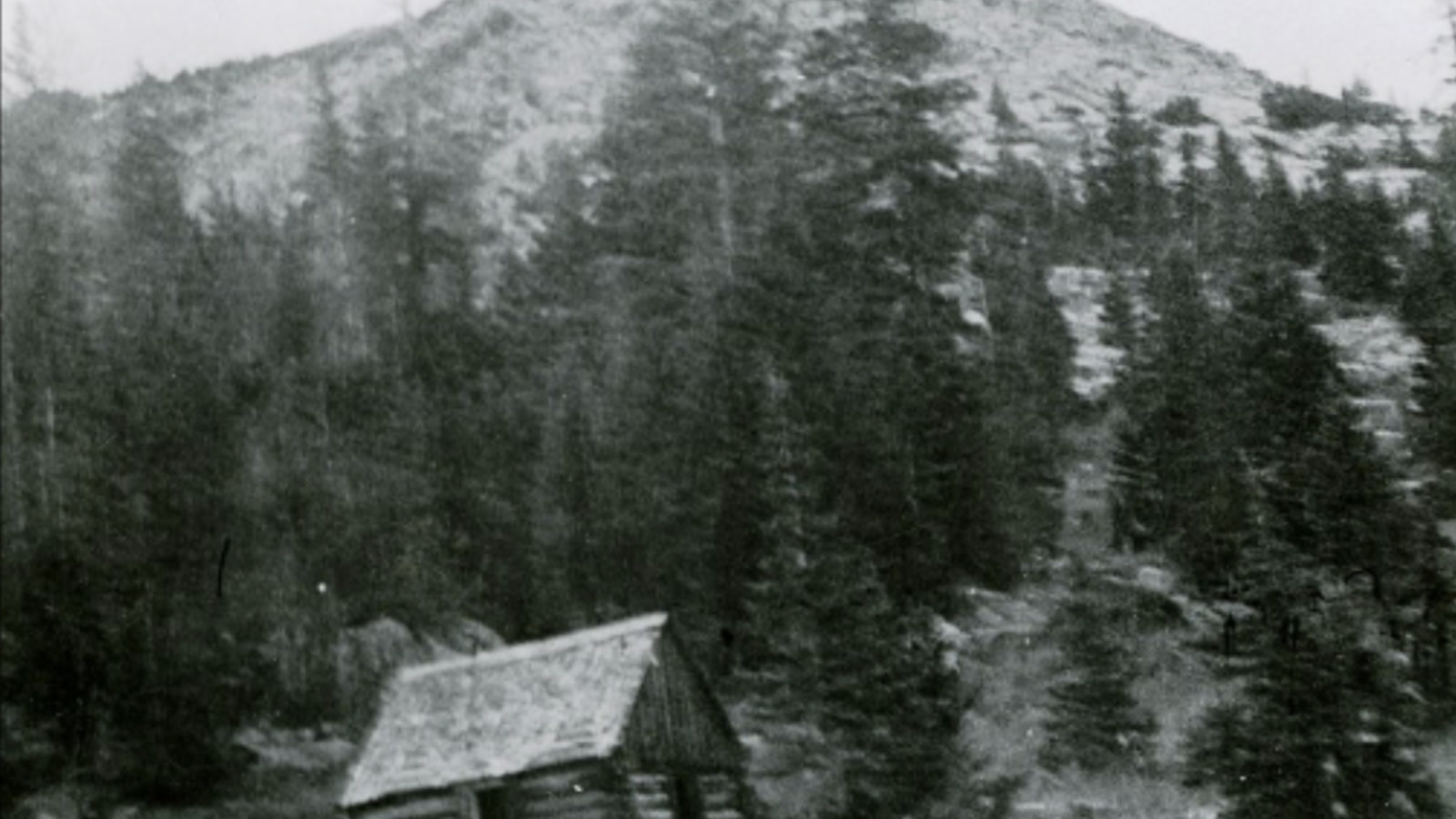 Photo: Angela Beck / Wikimedia Commons (Public Domain)
Walk around, take pictures, and leave everything exactly where you find it. These ruins are protected. Do not pull boards, dig around foundations, pocket hardware, or carve your name anywhere. The ghost town survives because people have respected it over the decades.
Cleveland Rock: the hardest move on the trail
Just past the ghost town, Cleveland Rock waits. This is a single large boulder with two possible lines, neither of which is easy. Trip reports consistently call this the hardest obstacle on the trail, and most groups note that this is the point where people turn around if they do not have the equipment or the confidence to commit. There is no bypass. You either run it or you stop here.
The rock requires careful spotting. Both lines involve a high-angle climb onto a rounded, polished surface with limited traction on the approach and a commitment point where the front end goes up and there is no good place to stop mid-move. Your spotter needs to be watching tire placement relative to the tire-eating low spots, not just pointing at the top.
If you make Cleveland Rock, a couple of smaller obstacles follow before the trail ends near Cleveland Lake. The lake is a hiking destination from this point, with good high-altitude fishing and views back toward Mount of the Holy Cross. Most people who make it this far take a break and take in what they just drove. After what the trail asked of you to get here, you have earned it. From the Cleveland Trail junction you can also hike to Hunky Dory Lake, visible as you approach from the right side of the trail.
The rig you need
Be honest with yourself about this before you go. The trailhead sign lists required equipment because the list is real: minimum 33-inch tires, locking differentials (both axles is better than one), a working winch with a proper recovery kit, and repair equipment including spare hardware, fluids, and basic tools. Several recent trip reports note that experienced drivers with 35-inch tires still needed a spotter at Cleveland Rock and a winch pull at French Creek. Thirty-three-inch tires are the floor, not a comfort zone.
Stock vehicles do not belong here. The trail has been run successfully by capable stock-lifted rigs, but those are edge cases running ideal conditions with excellent drivers and great spotting. The trail was built on the premise that if you show up unprepared, you become someone else’s problem.
Drive in a group of at least two vehicles, and four is better. When someone needs a winch pull or a recovery, having a second anchor vehicle already in position makes the difference between a 20-minute delay and a much longer situation. The trail is always crowded on summer weekends, and other groups will generally help if things go sideways, but your group is your primary safety net. Never attempt this trail alone.
Permits, fees, and the rules
No permit is required to run Holy Cross City trail. It is a National Forest road open to licensed and unlicensed vehicles during the standard season, with one caveat: unlicensed off-highway vehicles are not allowed on the trail until June 21, while licensed vehicles can typically access it from around May 21 when conditions allow. The distinction matters if you are planning to bring a side-by-side or ATV.
The Holy Cross Wilderness boundary is nearby. Motor vehicles are strictly prohibited in the wilderness, and the boundary is marked. Stay on FS 759 and you are fine. Wander off-trail or try to shortcut through the wilderness and you are looking at a federal violation in addition to being stuck in terrain that will make the 4x4 trail look like a warmup.
Pack out everything you bring. There is no trash service at elevation. Bear activity in the Homestake Valley is significant, and the Forest Service has food storage orders in effect for the campgrounds and roads in the Eagle-Holy Cross District. Store food properly. A cooler in a vehicle is not secure from bears who have learned to read the signs.
Best season and when to avoid it
The trail typically opens for licensed vehicles around May 21, though the exact date depends on snowpack and road conditions that year. High snow winters push this later, sometimes into June. The trail closes for the season around November 22.
The sweet spot is July through mid-September. July and August bring the most reliable access, with snowmelt done from the lower section and the high country’s brief summer fully open. September adds fall color to the aspens lower in the valley and crisp air at elevation, but afternoon thunderstorms become a daily reality. Lightning above treeline at 11,000 feet is not a theoretical concern. If you see a storm building over the Sawatch in the afternoon, be below the exposure zone before it arrives. The trail does not have good shelter once you are past the treeline.
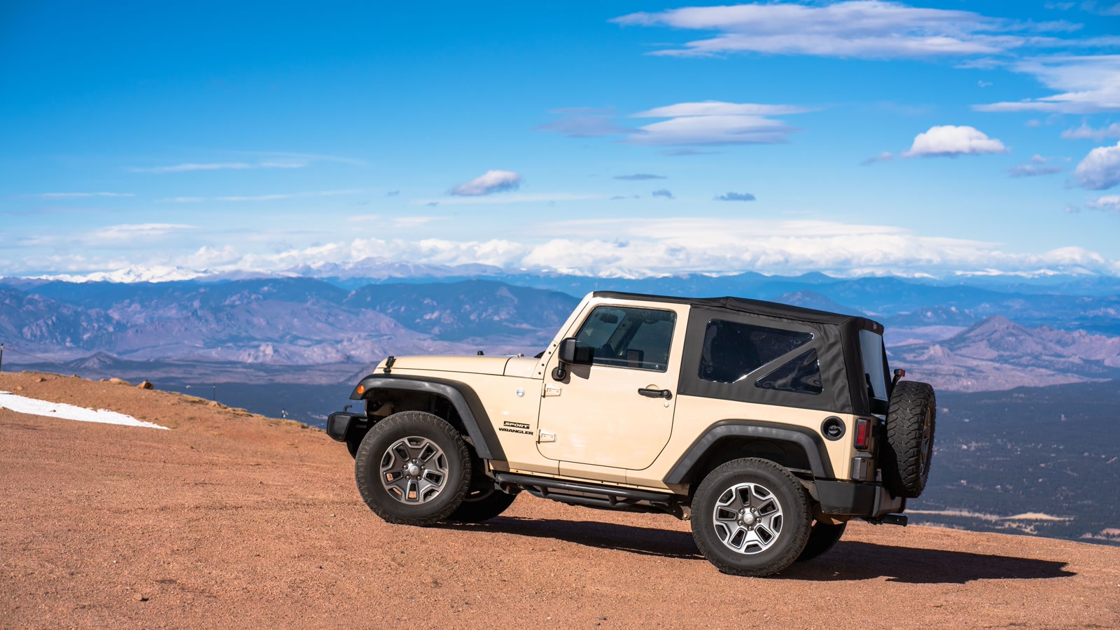 Photo: gabesdotphotos photographer / Pexels
Check current conditions with the White River National Forest Eagle-Holy Cross Ranger District before you commit. Snowpack, washouts, and closures can change the picture quickly, and a call ahead takes five minutes and saves a wasted trip.
Stewardship
Holy Cross City exists as a public-access destination because the Forest Service manages it and because previous generations of four-wheelers treated it with enough care that the access remained open. The ghost town ruins are still standing. The obstacles still look like nature put them there and not like a chewed-up mess of ruts from people who could not stay on the established route.
Stay on FS 759. Do not create new lines, cut switchbacks, or spin tires on soft ground next to the trail. Soil recovery at 11,000 feet is measured in years, not weeks. When you meet traffic coming down, find a wide spot and work it out. If you see someone in trouble, stop and help. This trail community takes care of itself because that is how it has always worked.
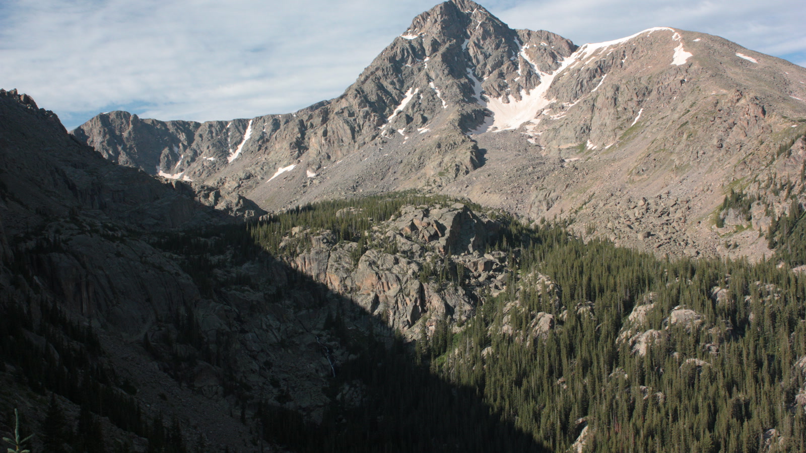 Photo: Jeremiah LaRocco / Wikimedia Commons (CC BY-SA 2.0)
The reward for doing it right is one of the most technically demanding, historically rich, and scenically spectacular trail runs in Colorado. The ghost town alone is worth the climb. Cleveland Rock alone is worth the gear investment. Getting both in a single day at nearly 12,000 feet, in the shadow of a mountain shaped like a cross, is a day you will talk about for a long time.

Hero photo: Gunnar Ensign / Pexels