

If you only run one high country trail in Colorado, make it this one. The Alpine Loop is a 63 mile network of old mining roads in the San Juan Mountains that ties together three of the best small towns in the state: Lake City, Silverton, and Ouray. It climbs over two passes that both clear 12,600 feet, rolls through wide open tundra, and drops you right into ghost towns that have been sitting there since the silver crash of the 1890s. The Bureau of Land Management calls it a Backcountry Byway, which is a polite way of saying it is a real 4x4 road, not a paved scenic drive. That distinction is the whole point.
This is the trip I send first timers on when they want big mountain payoff without needing a built rig. It is also a trip I happily run again every summer, because the views genuinely do not get old.
What the Alpine Loop actually is
The Loop is a circuit of high elevation dirt and rock roads that prospectors and pack mules carved in the 1870s and 1880s. Most people consider it to begin and end in Lake City, on the eastern side, since that is the mellowest gateway. From there you head west, cross either Cinnamon Pass or Engineer Pass to the old town of Animas Forks, and come back over the other one. The whole route sits inside Hinsdale, San Juan, and Ouray counties, crossing land managed by both the BLM and the surrounding national forest.
Here is the part a lot of guides bury: you do not need to drive the entire thing in a 4x4 to see it. Roughly two thirds of the lower mileage is graded dirt that a careful driver in a regular car can handle. The two passes themselves are where high clearance four wheel drive becomes mandatory. More on that below.
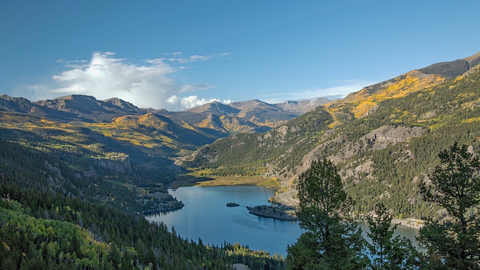 Photo: Robert M. Russell / Wikimedia Commons (CC BY-SA 4.0)
The two passes that define it
Everything on the Loop is organized around Engineer Pass and Cinnamon Pass, and they have different personalities.
Engineer Pass is the high one at 12,800 feet, and it is the more technical of the two. The toughest stretch is the western climb between Animas Forks and the summit: narrow, rocky, exposed switchbacks that ask for real attention. The reward is American Flats up top, a huge sweep of alpine tundra with the jagged 14ers Uncompahgre and Wetterhorn looming over you. It is one of the best drive up views anywhere in Colorado, full stop.
Cinnamon Pass tops out around 12,600 feet and is a bit more forgiving, though still all business above tree line. It is often dusted with snow even in July, which makes for a great photo at the summit sign. Just below it on the Lake City side sits American Basin, and that brings us to the flowers.
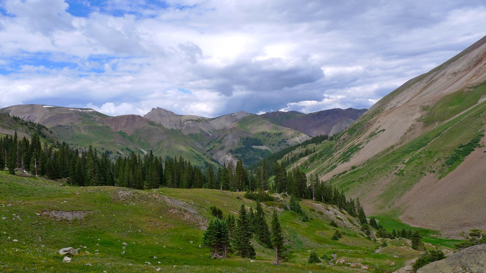 Photo: Robert Thigpen / Wikimedia Commons (CC BY-SA 2.0)
Difficulty and what you need to drive it
Let me be straight about the vehicle question, because people get burned here. To run the full Loop including both passes, you need a high clearance four wheel drive with low range gearing. A stock 4Runner, Tahoe, Wrangler, Bronco, or a capable side by side will all do it comfortably. What will not do it is an all wheel drive crossover with street tires and no low range. Drivers without high clearance 4WD should not attempt the pass roads. The exposure is real and there is no guardrail.
That said, the rating is moderate, not extreme. There is no rock crawling or winching required in normal conditions. The challenge is steady: loose rock, tight shelf sections, big drop offs, and altitude. If a section feels past your comfort level, turn around. There is zero shame in saving an obstacle for another day out here.
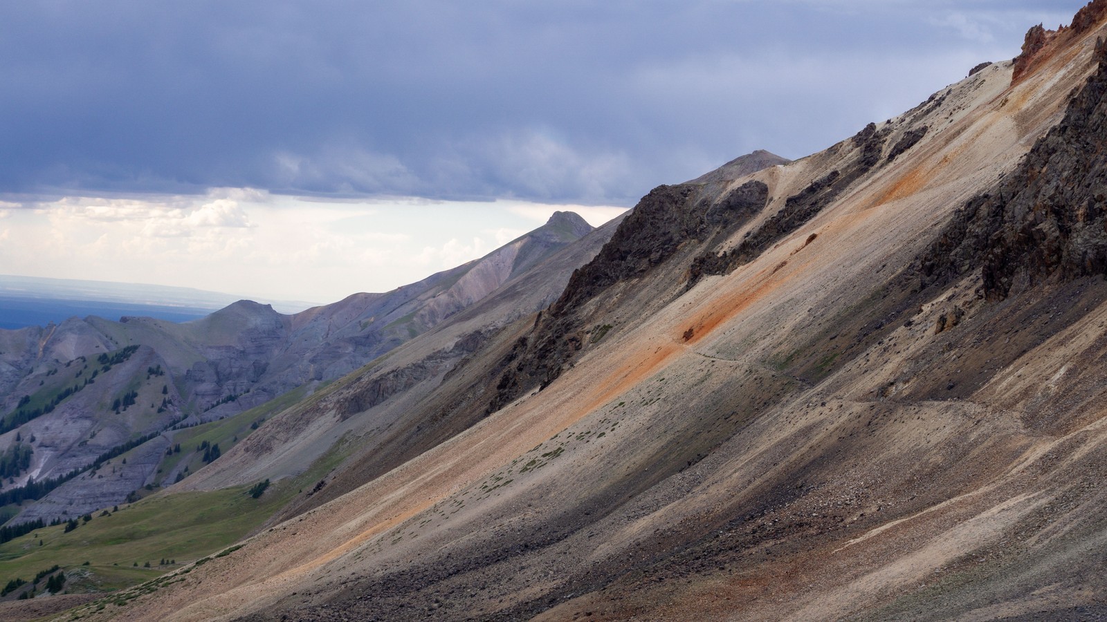 Photo: Haley Bee / Pexels
When to go
This is a summer trail, period. The high passes usually do not open until late June depending on the snowpack, and they close again with the first serious fall storms. The official off highway vehicle season in Hinsdale County runs June 1 through September 30, which lines up well with the most reliable driving window.
For wildflowers, aim for mid July through early August. American Basin, just below Cinnamon Pass, is one of the premier wildflower displays in the entire state, with columbine, paintbrush, and larkspur carpeting the meadows. Stay on the trail through here so the alpine soil survives for the next group. For fall aspen color, late September is the move down low around Lake City, though by then the passes may already be closing.
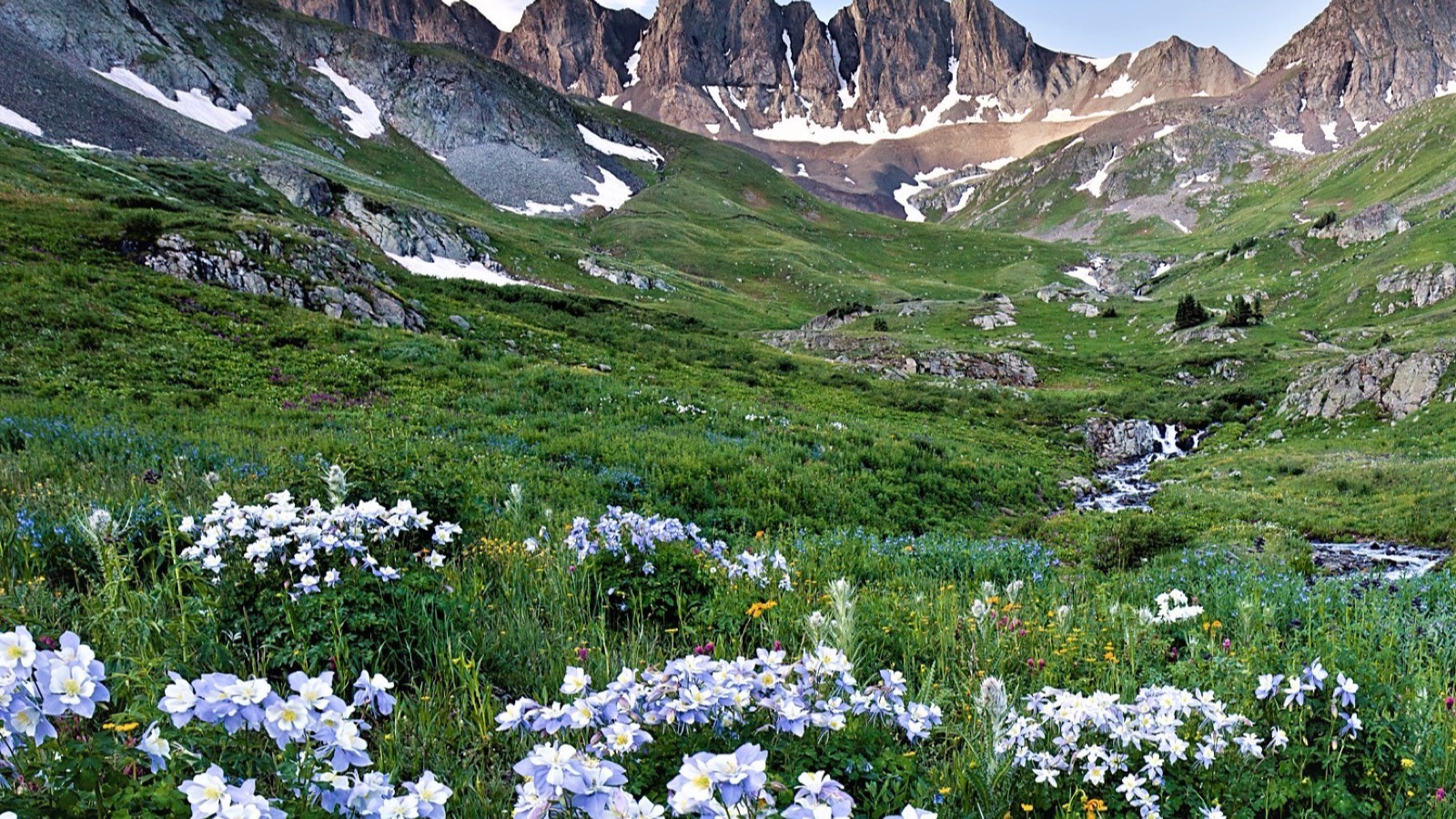 Photo: Bureau of Land Management / Wikimedia Commons (CC BY 2.0)
The stops you cannot miss
Run the Loop clockwise from Lake City. That puts you climbing the hard Engineer switchbacks rather than descending them, which is the friendlier way to learn the road.
Animas Forks is the headliner. It is one of the best preserved ghost towns in the country, a silver camp that peaked in the late 1880s with around 450 residents before the silver crash emptied it out. Life at 11,000 feet was brutal. One 1880s blizzard reportedly dropped 25 feet of snow over 23 days and had people tunneling between houses. The standing buildings are free to walk through, and it is genuinely moving to stand in them.
Whitmore Falls, on the Engineer side toward Lake City, is a quick walk to an overlook and a steeper short trail to the base, where there is a swimming hole if you are brave about cold water. Capitol City and the Henson townsite with the old Ute Ulay mine round out the history on the Lake City stretch.
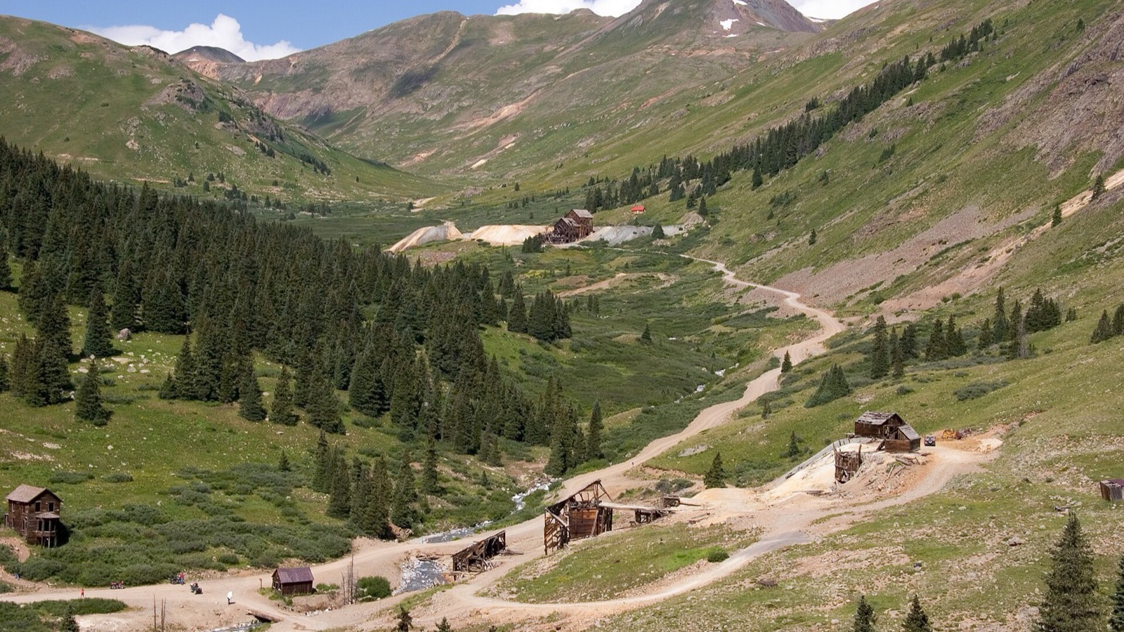 Photo: Kimon Berlin / Wikimedia Commons (CC BY-SA 2.0)
The towns: fuel, food, and a bed
The three towns are half the reason to do this drive. Lake City is the quiet one and the best base for a clockwise run. Silverton, reachable on a bumpy spur down from Animas Forks, is a wonderfully preserved old mining town and a great lunch stop. Ouray, the “Switzerland of America,” sits in a dramatic box canyon on the far west and connects to the San Juan Skyway.
Critical detail: there is no fuel anywhere on the Loop itself. Top off in town before you leave, every time. Services up high are nonexistent, and cell coverage is spotty to gone across most of the route. Download or print your maps before you go.
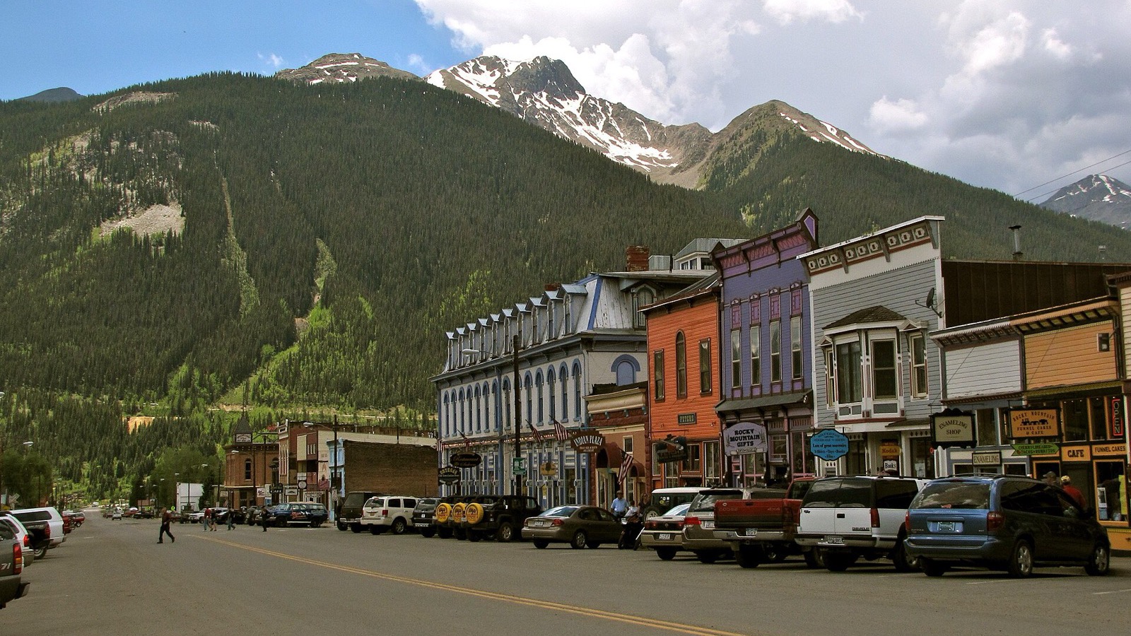 Photo: Alex Reinhart / Wikimedia Commons (CC BY-SA 3.0)
Camping, permits, and the rules
Dispersed camping is allowed on the BLM and forest land along the Loop, and there are established sites near Lake City and along the lower roads. There is no fee or reservation system to simply drive the byway, but if you are running an OHV out of Lake City you need a current Colorado OHV permit. Colorado does not honor out of state OHV permits, so buy one before you ride. Check fire restrictions before you light anything.
Stay on designated routes. The tundra up here is fragile enough that a single off trail detour can leave scars that last for centuries. Uphill traffic has the right of way on the shelf roads, so the vehicle heading down yields and pulls over.
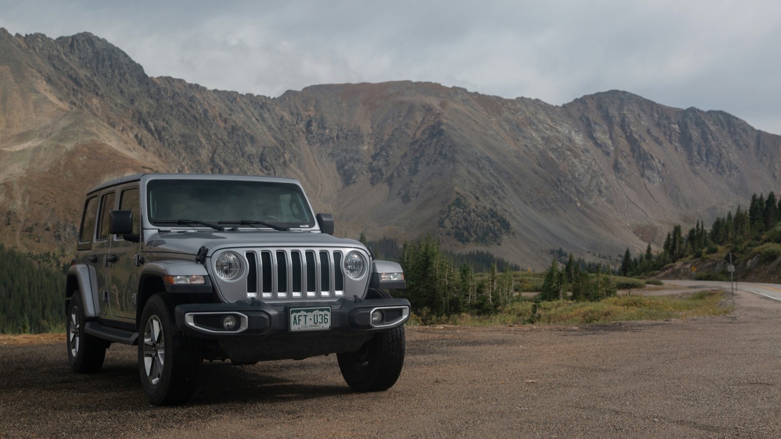 Photo: Sebastian Kurpiel / Unsplash
Altitude and safety
Two passes above 12,600 feet will find anyone who came straight from sea level. Spend a night in Lake City or Ouray first to acclimate, drink more water than you think you need, and pay attention to how you feel. Afternoon thunderstorms are a near daily summer feature in the San Juans, and you do not want to be on an exposed pass when one rolls through. Try to clear the highest sections by early afternoon.
Pack like the day might run long: a full tank, extra food and water, warm and dry layers because the high country can serve sun, hail, and snow in the same hour, a real spare tire, a jack, and a tire plug kit. Sharp rock punctures tires up here. Tell someone your route and your expected return, since you will not have a signal to call for help. Do that homework and the Alpine Loop gives back more than almost any trail in the lower 48. Give yourself a full day, leave early, and let it take as long as it takes.

Hero photo: Brady Stoeltzing / Unsplash