

There is a moment near the top of Imogene where the road pinches down to a single rough lane, the basin falls away to your right, and the summit notch sits up ahead at 13,114 feet with snow still tucked in the shadows in July. That is the spot people remember. Imogene Pass is the second-highest drivable pass in Colorado, and it strings together two of the best mountain towns in the state, Telluride and Ouray, over a crossing that prospectors carved out of the San Juans more than a century ago.
This is one of those trails that gets called “easy” by hardcore rock crawlers and “terrifying” by first-time visitors, and both groups are kind of right. It is not a rock-crawling trail. There is no single obstacle that will break your rig. What it is, instead, is a long, high, exposed mountain road with real consequences if you make a dumb mistake, run it in the wrong weather, or bring the wrong vehicle. Treat it with respect and it is one of the great drives in the country.
What Imogene Pass actually is
Imogene connects Telluride on the west side to Ouray on the east, crossing the spine of the San Juan Mountains at 13,114 feet. The Forest Service catalogs it as Road 869 (Tomboy Road / Imogene Road), and it sits inside the Uncompahgre National Forest with the surrounding land split between San Miguel and Ouray counties. Only Mosquito Pass, near Leadville, is higher among Colorado’s drivable passes.
The route is point to point, roughly 17 miles town to town if you run the whole thing from Telluride to Ouray. From the Telluride side you climb past Bridal Veil and Ingram Falls, roll into Savage Basin and the old Tomboy townsite around the 4.5-mile mark, then grind up to the pass. From the summit you drop into Imogene Basin on the Ouray side, slide past the upper Camp Bird Mine, and eventually meet Camp Bird Road (County Road 361), which carries you the rest of the way into Ouray.
Most people run it west to east, Telluride to Ouray, and that is the direction I prefer. You get the waterfalls and the Tomboy ruins on the way up while you and the engine are fresh, and you descend the steeper, looser Ouray side rather than clawing up it. You can absolutely run it the other way, and plenty do, especially if they are based in Ouray. Neither direction is wrong. The west-to-east climb just flows better as a first run.
Getting on the trail
From Telluride, the start is dead simple to find. From Colorado Avenue, the main drag, turn north onto Aspen Street, go a block, turn right onto Columbia Avenue, go a block, then turn left onto Oak Street and follow it to the end. That dumps you onto the dirt of Tomboy Road, and you are on it. There is no fee and no permit to drive Imogene itself.
One rule that trips people up: per San Miguel County, unlicensed off-highway vehicles, which includes most ATVs and a lot of side-by-sides, are not allowed on the first 2.5-mile stretch from Telluride up to where the road meets Marshall Creek. If you are running an unlicensed machine from the Ouray side, you have to turn around at Marshall Creek. Watch for the posted county signs. Street-licensed trucks, Jeeps, and Broncos have no such restriction.
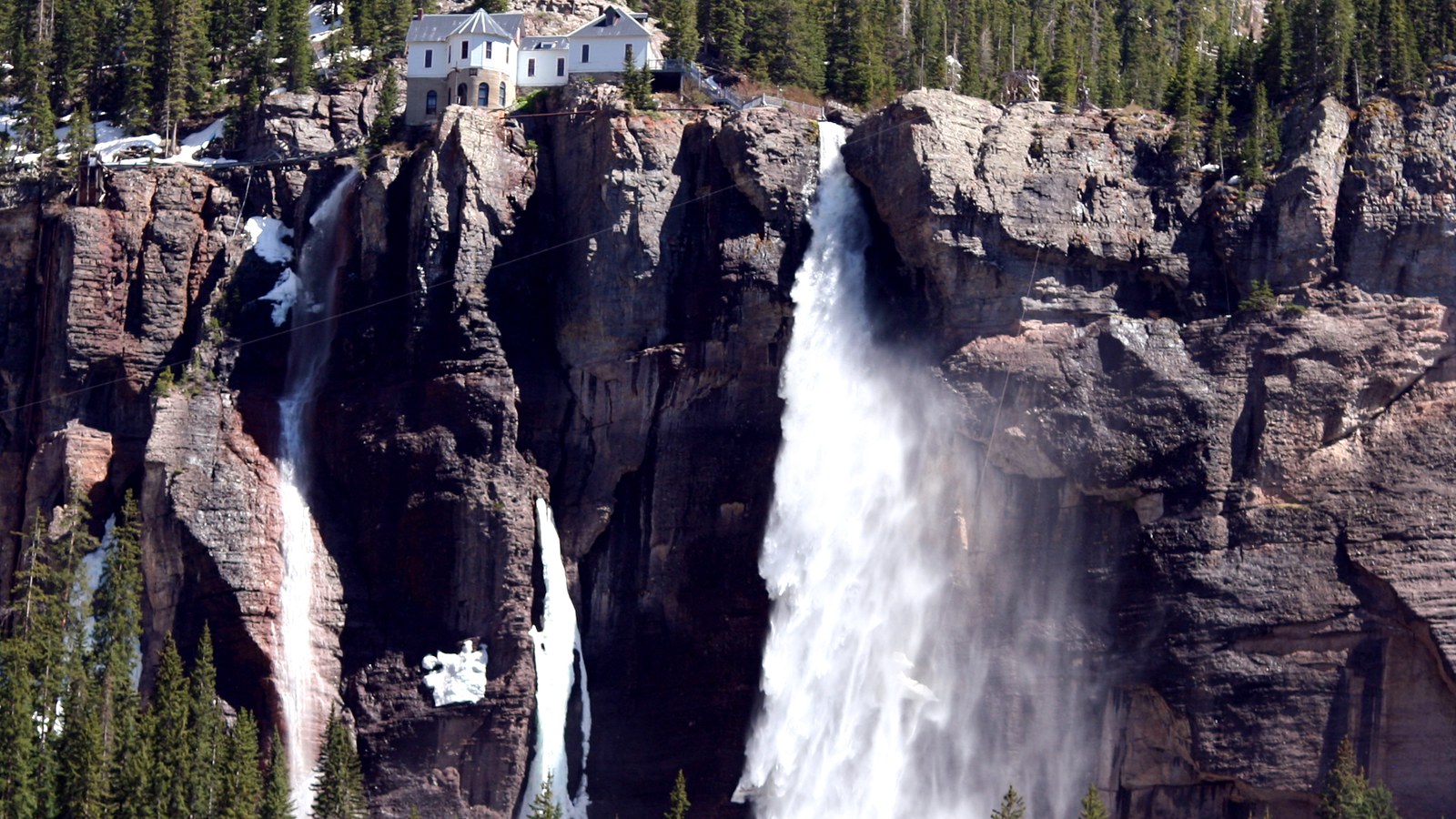 Photo: Terry Foote / Wikimedia Commons (CC BY-SA 3.0)
On the Ouray side, the access is via Camp Bird Road off the Million Dollar Highway (US 550) just south of town. That road climbs past the still-active Camp Bird Mine before reaching the Imogene junction. It is a graded but narrow shelf in its own right, so you are working before you even hit the pass road proper.
The climb, the shelf, and the summit
The heart of Imogene is the upper half, and it is all about exposure rather than technical difficulty. The surface is rocky and rutted in plenty of spots, loose in others, and it has gotten noticeably rougher in recent years as erosion and washouts have chewed at it. Reports from recent seasons describe sections far more washed out than they used to be, with off-camber stretches next to real drop-offs. None of it requires a winch or a spotter in dry conditions, but it absolutely requires a sober, attentive driver.
The shelf sections are the part that gets people’s hearts going. The road is often one lane with a rock wall on one side and air on the other, and there is no guardrail anywhere up here. When you meet oncoming traffic, and you will, somebody has to back up to a wider spot. The unwritten rule in the San Juans is that the vehicle going downhill yields and backs up, because it is easier and safer to reverse downhill than up. Know how to back your rig on a narrow shelf before you come up here. That single skill matters more than any amount of suspension travel.
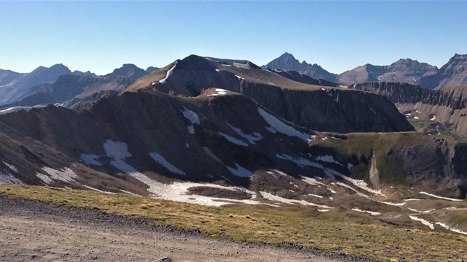 Photo: Adam Barhan / Wikimedia Commons (CC BY 2.0)
The summit itself opens up into a wide, rocky saddle with room to park, catch your breath, and take it all in. On a clear day you can see deep into the San Juans in both directions, with Telluride’s box canyon behind you and the Sneffels country off to the north. There is an old military-era stone shelter up here, Fort Peabody, a relic from the labor wars of the early 1900s when the state posted guards on the pass. At over 13,000 feet, the weather can flip on you fast, so enjoy the view but keep an eye on the sky.
Tomboy and the mining history you drive through
You do not just read about the mining history on Imogene, you drive right through it. Around 4.5 miles up from Telluride, the road enters Savage Basin and the old Tomboy townsite. In its heyday around 1900, Tomboy was a full town of more than a thousand people perched at nearly 11,500 feet, complete with a school, stores, and a bowling alley, all built to serve the Tomboy gold mine. The author Harriet Fish Backus wrote a well-known memoir, Tomboy Bride, about life up here, and it is worth a read before you go.
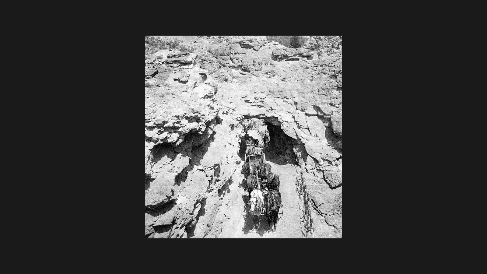 Photo: Tomboy Mine, Tomboy, Colorado, circa 1910, Library of Congress / Wikimedia Commons (Public domain)
Here is the important part: the Tomboy townsite is privately owned. You can see the remnants and weathered structures from the road, but do not trespass onto the property or pick through the ruins. Same goes for the Camp Bird Mine on the Ouray side, which is an active mining operation, not a museum. Look, photograph, and keep moving. The fact that this stuff is still standing for us to drive past is a privilege, not a right.
The rig you actually need
Let me be straight about the vehicle question. The Forest Service strongly recommends high-clearance, four-wheel-drive vehicles, and that is the honest minimum. A stock 4Runner, Tacoma, Wrangler, Bronco, or a capable full-size with decent tires will all do Imogene comfortably in good conditions. Low range is your friend on the descent, where engine braking saves your brakes from cooking on the long grade down to Ouray.
What does not belong up here is an all-wheel-drive crossover on street tires with no low range and no real clearance. People try it every summer, and some get away with it, but the washouts and loose rock will eventually find the weak link. You want a short-to-medium wheelbase for the tight switchbacks, real tires, good brakes, and recovery gear you know how to use.
 Photo: Tim Mossholder / Wikimedia Commons (CC0)
Air down a little for the rough sections, carry more water and warm layers than you think you need, and bring a real spare. There is no cell service for most of the route and no quick way out if something goes wrong near the top. This is genuine high country, not a city park.
When to go
Imogene is a summer trail, full stop. The crews that clear the road of snow and debris start work in May and aim to have it open by the Fourth of July, but the exact opening date moves every year with the snowpack. Some years it is passable in late June, other years not until well into July. The road typically stays open into late September, then closes for the season once the snow returns, and the counties have closed it early in heavy snow years.
The sweet spot is mid-July through mid-September. July and August bring wildflowers to the basins and the most reliable footing. September trades the flowers for golden aspens lower down and crisp, clear air up high, but you are gambling against early snow. Always check current conditions with the counties or the Forest Service before you commit, because “open by July 4th” is a goal, not a guarantee.
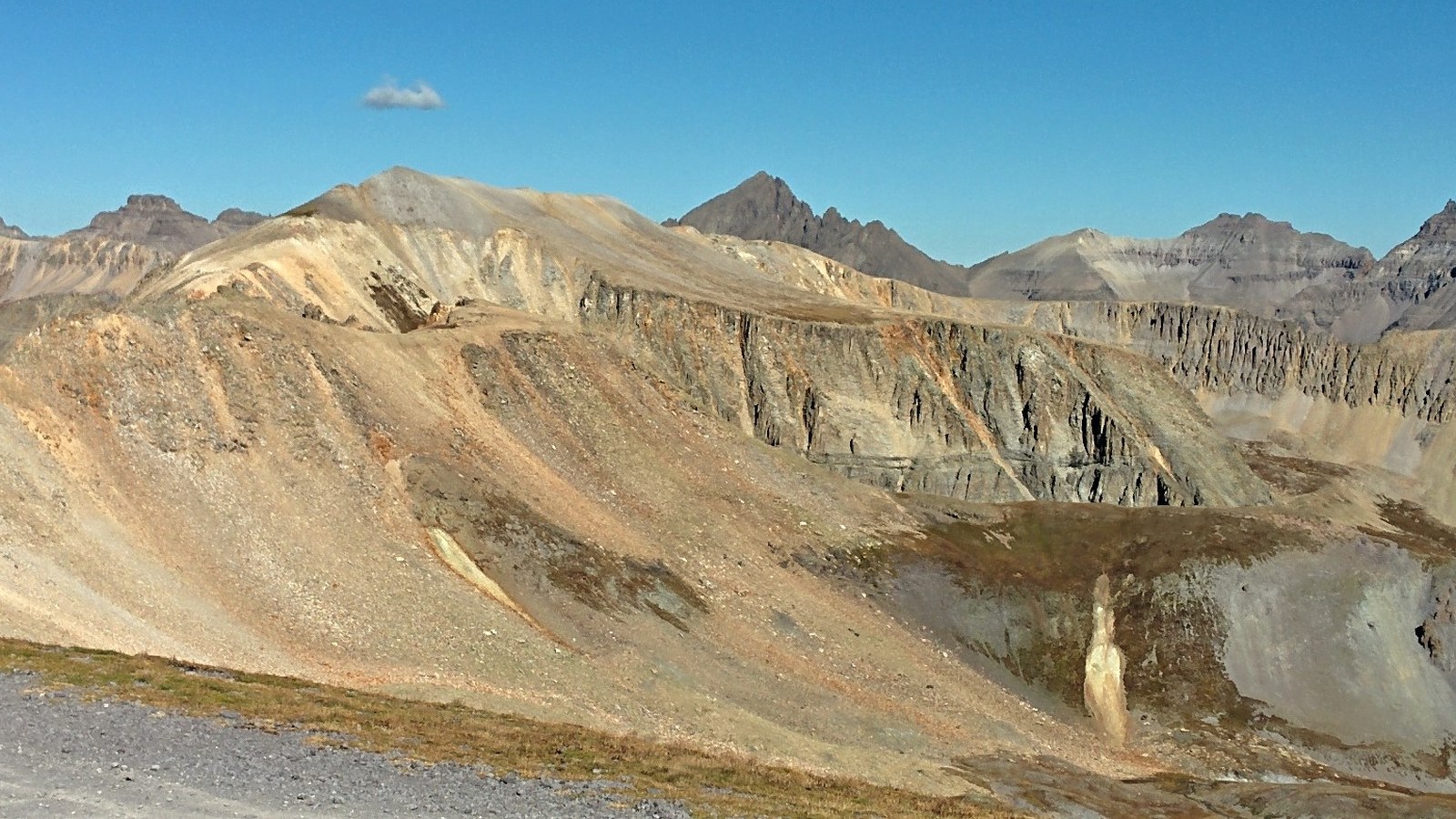 Photo: zachandlinz / Wikimedia Commons (CC BY 2.0)
One more thing on timing: the pass also hosts the Imogene Pass Run, a brutal mountain footrace from Ouray to Telluride held the first weekend after Labor Day. If you are planning a drive around then, check the race schedule so you are not trying to share the road with a thousand runners.
Drive it right, and keep it open
Imogene is exactly the kind of trail that stays open only as long as the community treats it well. Stay on the established road, do not cut switchbacks or carve new lines into the tundra, and pack out everything you bring. The alpine soil up here takes decades to recover from a single set of tire tracks, and the agencies that keep this road open watch closely for abuse.
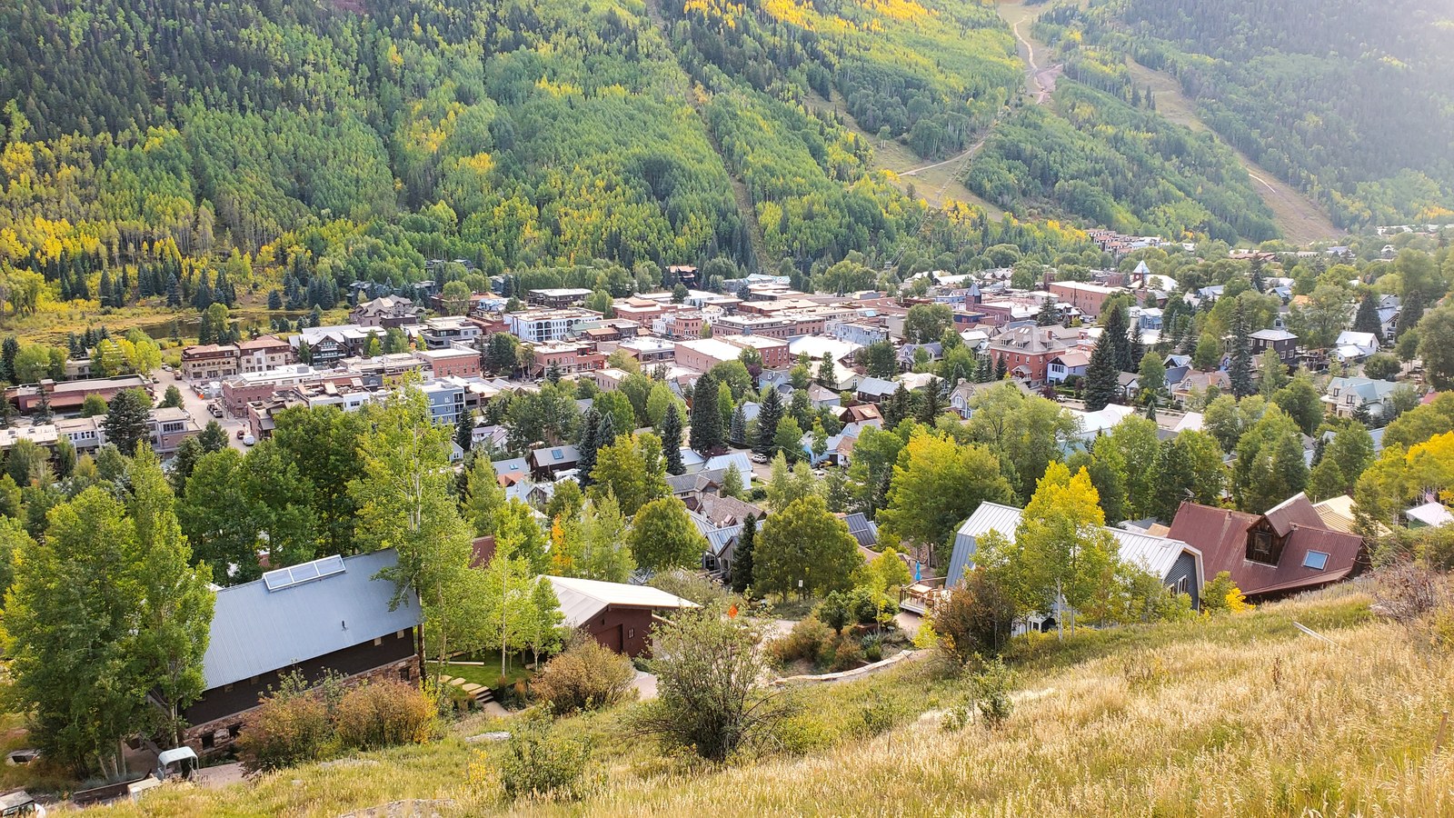 Photo: D&RG Railfan / Wikimedia Commons (CC BY 3.0)
Yield to uphill traffic, give a friendly wave, and slow way down around hikers, bikers, and the runners who use this route. Imogene has been open to the public for generations because people respected it. Do your part and it will still be here for the next crew rolling out of Telluride with a full day ahead of them. Drive it once and you will understand why people keep coming back to the San Juans summer after summer.
Hero photo: zachandlinz / Wikimedia Commons (CC BY 2.0)