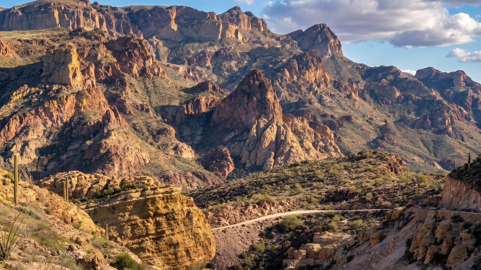
There are trails you run to break your rig, and there are trails you run because they are the single best way to see a place. The Apache Trail is squarely the second kind. It is not a rock crawl and it will not test your lockers, but it is one of the great backcountry drives in the American Southwest, a 100-year-old dirt road that clings to canyon walls above three desert lakes and drops off the edge of the Superstition Mountains in a way that makes first-timers grip the wheel a little tighter than they expected.
It also spent five years closed, which is exactly why it is worth talking about now. A wildfire and the flooding that followed shut down the best stretch of this road from 2019 until the fall of 2024. It is open again, but it is not the same casual Sunday drive your parents remember. Knowing what changed, what to expect, and what the road actually demands is the difference between a spectacular day and getting in over your head on a one-lane shelf with a thousand-foot drop off the passenger side.
What the Apache Trail actually is
The Apache Trail is State Route 88, and it runs from Apache Junction on the east edge of the Phoenix metro out to Theodore Roosevelt Dam, roughly 40 miles of pavement and dirt through the heart of the Tonto National Forest and the Superstition Mountains. It was carved out of the canyon by hand in 1904 to haul construction materials to the Roosevelt Dam site, and the dam went up between 1905 and 1911. Much of the route east of Tortilla Flat still looks and drives like the wagon road it started as, which is the whole point. This is a piece of Arizona history you drive through, not past.
The first roughly 17 to 18 miles out of Apache Junction are paved, though “paved” undersells how narrow, winding, and steep even that section gets as it climbs past Canyon Lake and into Tortilla Flat. After Tortilla Flat the pavement ends and the road turns to graded dirt and gravel for the remaining stretch out to the dam, about 22 miles of unpaved backcountry driving that includes the infamous descent down Fish Creek Hill.
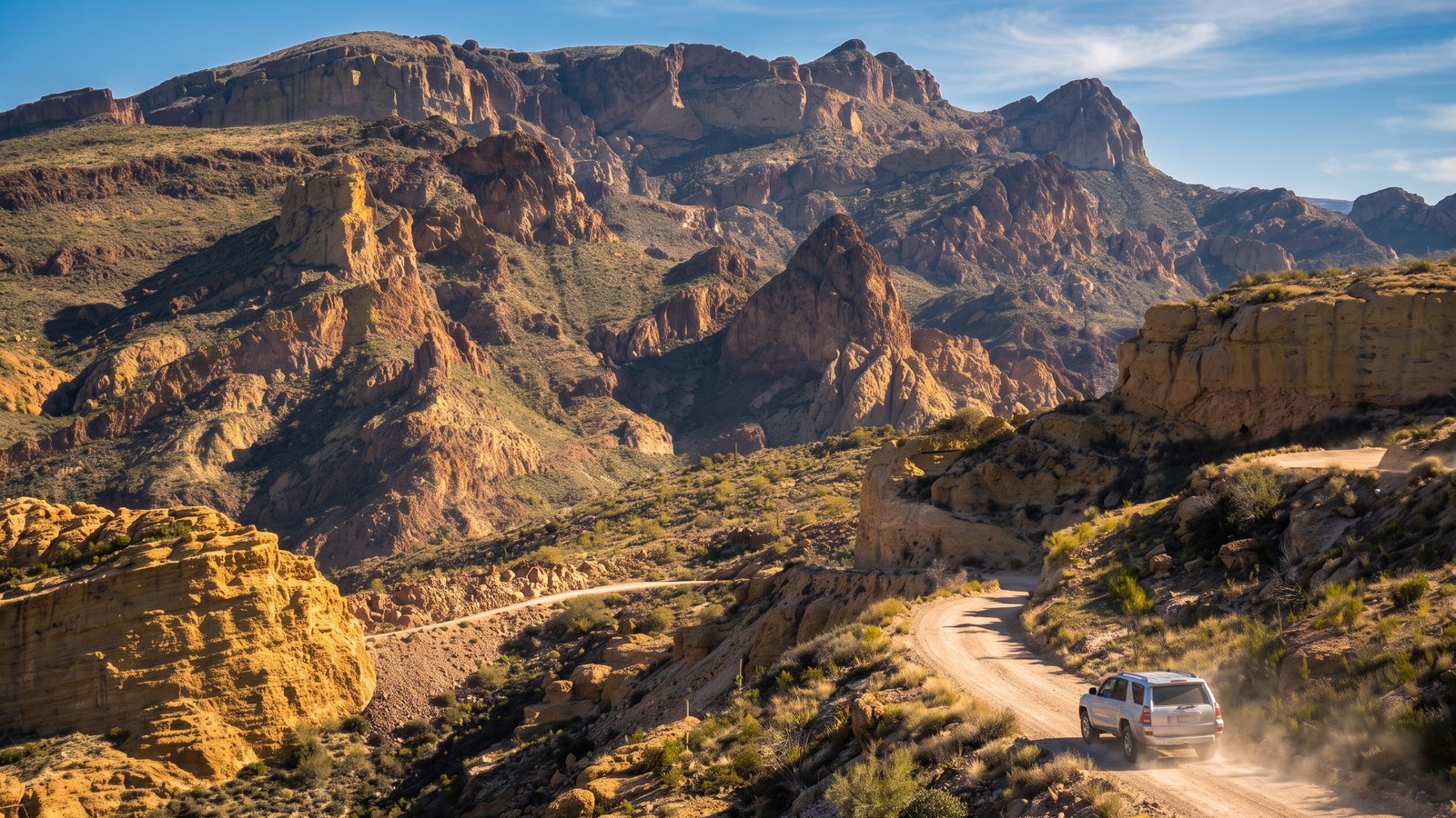
Theodore Roosevelt himself called this country “one of the most spectacular, best-worth-seeing sights in the world,” and he was not wrong. In a single run you go from saguaro forest to cool canyon shade, past three reservoirs, over a historic one-lane stretch that has not changed much in a century, and out to a massive masonry dam. It is a Moderate route, not because of any single hard obstacle, but because the exposure, the narrowness, and the sheer drop-offs demand a driver who is paying attention.
How to get there and which way to run it
Most people run this trail east from Apache Junction toward Roosevelt Dam, and there is a good reason for that. Running east means you descend Fish Creek Hill rather than climb it, and on a one-lane road cut into a cliff, being on the inside as you go down is the more comfortable line. It also means you finish at the dam and Roosevelt Lake, which is a satisfying payoff.
From Phoenix, head east on US-60 to Apache Junction, then take Idaho Road north until it becomes State Route 88. Follow the SR-88 signs and you are on the Apache Trail. A common staging point for the trip is Lost Dutchman State Park, right at the base of the Superstition Mountains just a few miles up the road, which makes a great place to top off, air down if you want, and set expectations before the pavement runs out.
If you would rather skip the metro drive and start from the Roosevelt end, take State Route 188 to the dam and turn onto SR-88 there. Note that trailers and boats headed to Apache Lake should approach from the SR-188 side. The dirt section over Fish Creek Hill is not the place to be dragging a trailer, and it is signed accordingly.
Canyon Lake and the road that hugs it
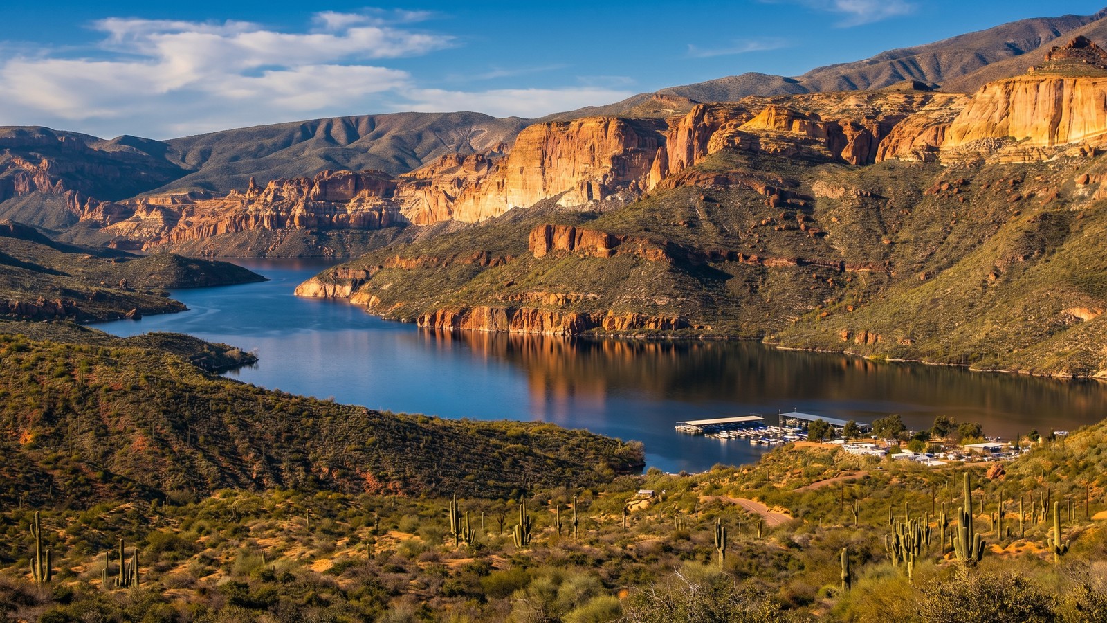
The first real jaw-dropper comes early. About 15 miles in, the road bends around Canyon Lake, a deep blue reservoir wedged between towering banded cliffs. The pavement here is narrow and twisting, with the water on one side and rock on the other, and there are pullouts and a vista where you can stop and take it in. It is the kind of view that makes people who have lived in Phoenix for years wonder why they never came out here.
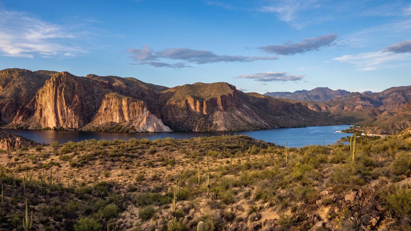
Canyon Lake is formed by Mormon Flat Dam and it is a genuine recreation destination in its own right. There is a marina, boat ramps, and cliffs that draw kayakers and anglers. If you are making a day of it, this is a natural first stop. Just know that the road here is popular and can get busy on weekends, and the shoulders are thin, so pull fully into a designated pullout when you stop rather than parking on the road.
Tortilla Flat, the last stop before the dirt
A few miles past Canyon Lake you roll into Tortilla Flat, and if you blink you will miss it. Population six. It is the last surviving stagecoach stop on the Apache Trail, a cluster of weathered wooden buildings that includes the Superstition Saloon, a country store, a restaurant, and a post office. The saloon is famous for its walls papered in signed dollar bills and bar stools made from saddles.
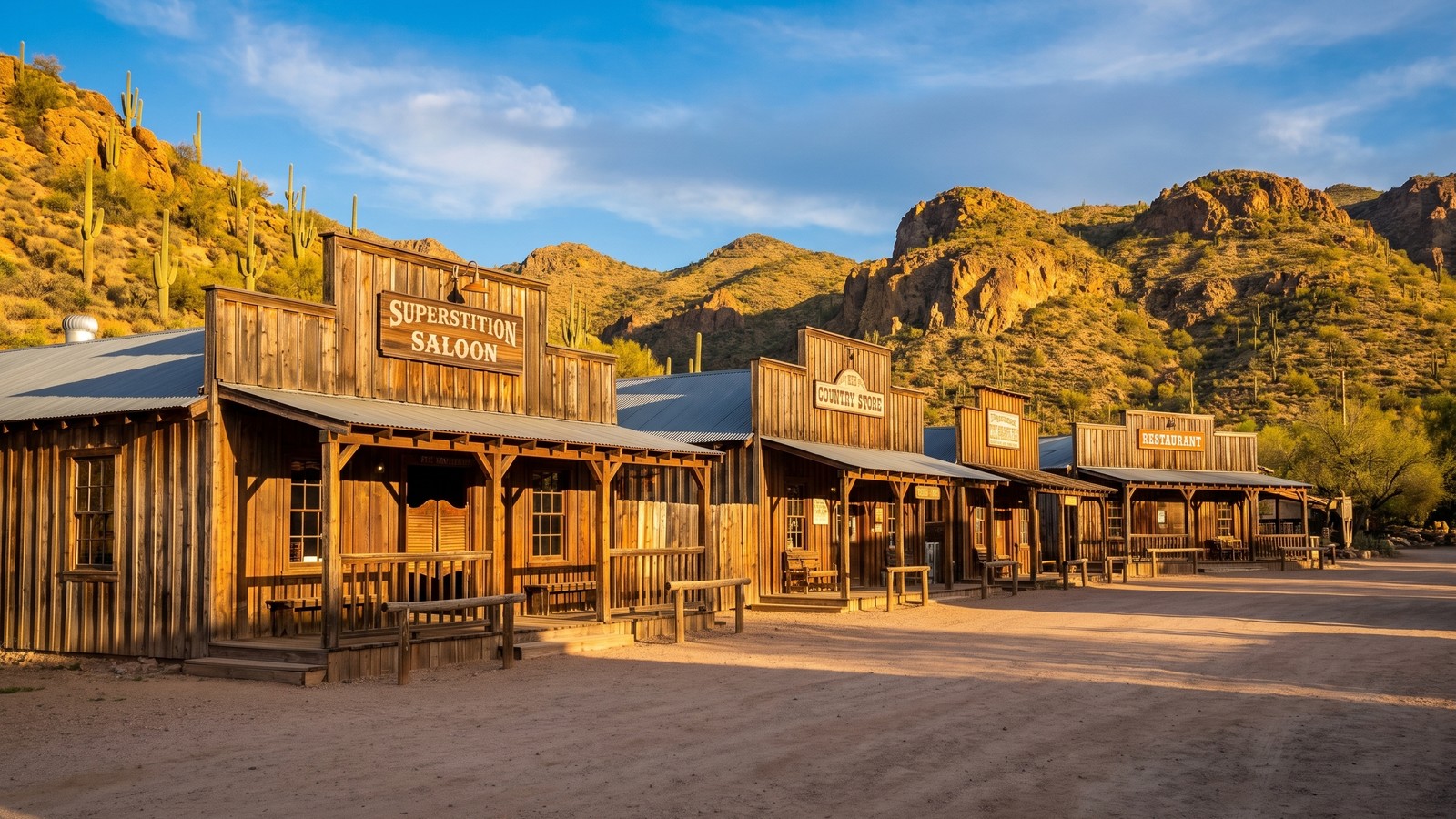
Tortilla Flat matters for more than the kitsch. It is your last chance for fuel, food, water, and a real bathroom before the pavement ends and you commit to the dirt. Fill up, use the facilities, and check your tires here. Once you leave Tortilla Flat you are on the backcountry portion of the road, and there are no services between here and the dam.
Fish Creek Hill, the heart of the drive
This is the reason the Apache Trail has a reputation, and the reason it carries a Moderate rating instead of Easy. A few miles past Tortilla Flat the graded dirt road reaches Fish Creek Vista, and then it drops. Hard.
Fish Creek Hill descends roughly 1,000 feet down into Fish Creek Canyon over about a mile and a half of steep, narrow, one-lane road cut directly into the cliff face. In places it is barely wide enough for a single vehicle, with a rock wall on one side and a sheer drop on the other and no guardrail. There are a handful of spots where two vehicles cannot pass and someone has to back up to a wide spot, and the etiquette is that uphill traffic yields to downhill traffic where it makes sense, but common sense and courtesy rule. Take it slow, use low gears to save your brakes, and if you meet oncoming traffic, sort it out calmly.
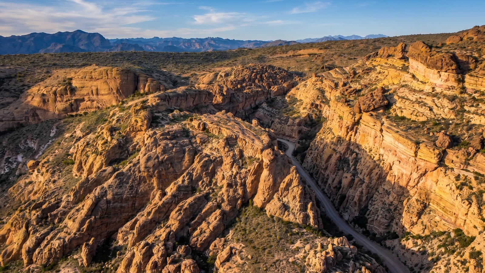
This is the exact section that flood damage closed for five years. In June 2019 the Woodbury Fire burned almost 124,000 acres of the Tonto National Forest, and that September a storm dropped roughly six inches of rain onto the burn scar. The runoff tore apart the road between Fish Creek Vista and milepost 227 near Reavis Trailhead Road, including a rockslide that made it impassable. ADOT spent 4 million dollars on an interim repair project, and the five-mile section reopened in September 2024. The work cleared boulders, mitigated rockfall, rebuilt retaining walls, and added signage.
Here is the important part. ADOT does not currently post vehicle restrictions at Fish Creek Vista, but the agency is blunt that this is a steep, winding, narrow unpaved road and that drivers should be confident in their vehicle and comfortable negotiating that kind of terrain. Conditions can change fast with weather or rockfall. This is a road that has been closed by flooding before and will be again. Always check current conditions before you go.
Apache Lake and out to the dam
Once you are down Fish Creek Hill and through the canyon, the road runs along the shore of Apache Lake, the third and most remote of the reservoirs on this route. Apache Lake sits behind Horse Mesa Dam and it is the quiet one, less developed than Canyon Lake, with a marina, a campground, and long stretches of open blue water framed by desert mountains. There is a turnoff to the Apache Lake Marina if you want to drop down to the water.
From Apache Lake the dirt road continues northeast, climbing and dropping through the desert until it delivers you to the finale: Theodore Roosevelt Dam. When it was completed in 1911 it was the tallest masonry dam in the world, and it created Roosevelt Lake, the largest of the chain. The dam was later modified and raised, and today it is fronted by the graceful steel arch of the Roosevelt Lake Bridge, one of the longest of its kind in North America.
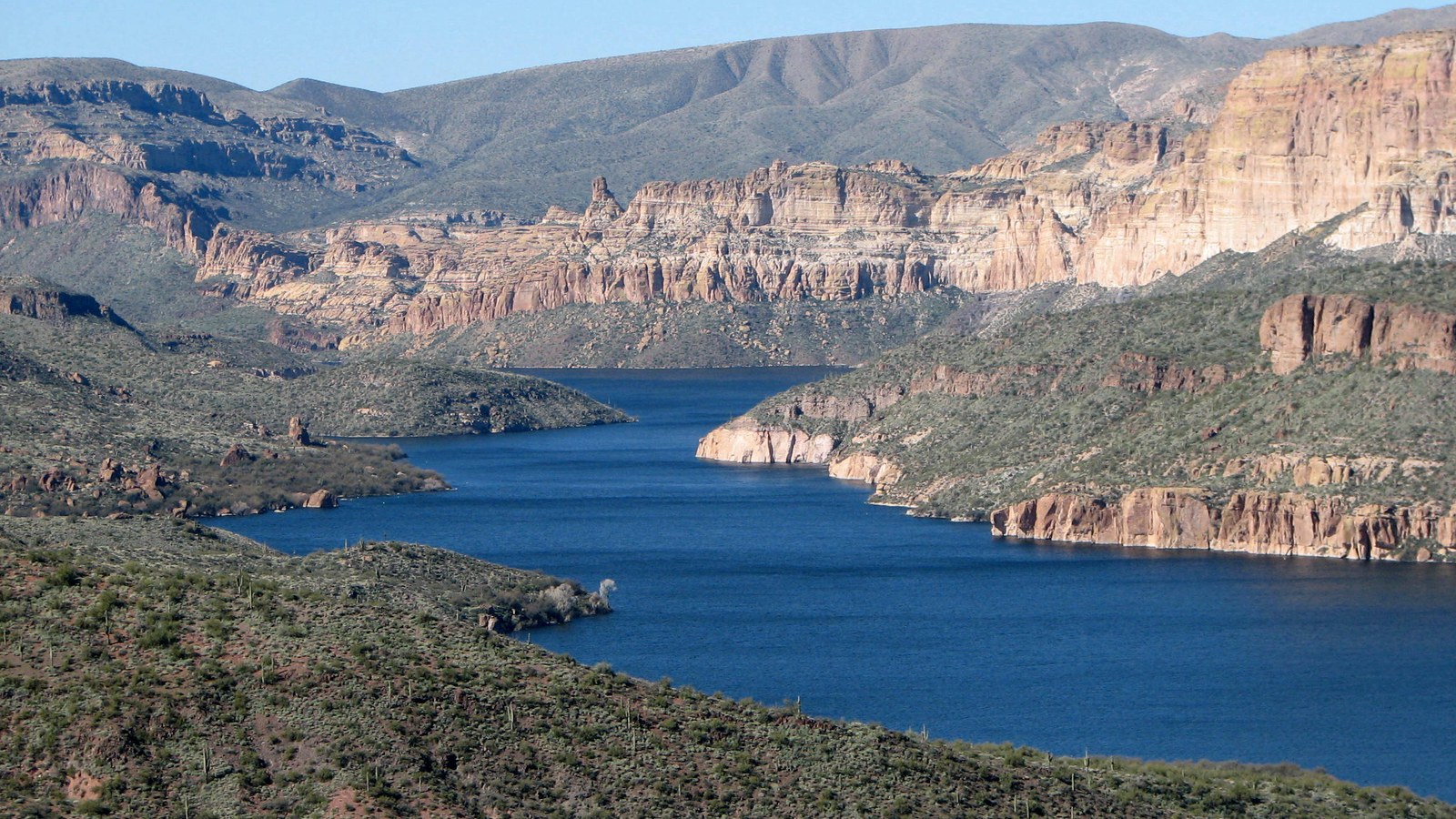 Photo: Bernard Gagnon / Wikimedia Commons (CC BY-SA 3.0)
Pull off at the vista near the dam and take it in. You have just driven a road that was built by hand to make that structure possible, and finishing at the dam ties the whole story together.
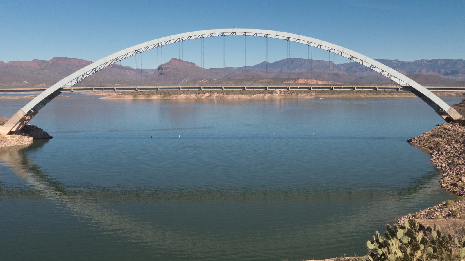 Photo: Nicholas Hartmann / Wikimedia Commons (CC BY-SA 4.0)
The rig you actually need
Let us be honest about what this drive requires, because there is a lot of bad information out there. On a good day, in good weather, the graded dirt portion of the Apache Trail can be run by a stock high-clearance SUV or a capable crossover driven carefully. People do it in all kinds of vehicles. That does not mean you should.
Here is the honest minimum. You want high ground clearance and good tires, because the dirt section is washboarded in places and can have ruts and small washouts, especially after rain. All-wheel drive or four-wheel drive is strongly recommended, not because you need the traction to climb anything, but because you want the control on the steep, loose descent down Fish Creek Hill. Long, low, two-wheel-drive sedans are a bad idea, and this is absolutely not a trailer or big-rig route on the dirt section.
Beyond the vehicle, the real requirements are about self-sufficiency. There are no services on the backcountry portion, cell coverage is spotty to nonexistent in the canyons, and summer heat out here is genuinely dangerous. Carry far more water than you think you need, a full tank of fuel, a spare tire you have actually checked, and basic recovery gear. Tell someone your plan. Good brakes are not optional given the descent.
Rules, permits, and access
The Apache Trail is a state highway that runs through the Tonto National Forest, so the road itself is open to any street-legal, licensed vehicle. There is no fee and no permit to simply drive SR-88. Two things to know. First, non-street-legal vehicles, meaning off-highway-only UTVs and dirt bikes without plates, are not allowed on Highway 88 itself. You will see plenty of street-legal, plated UTVs on the dirt section, which is fine, but the highway is not an OHV free-for-all. Second, if you stop to recreate at the lakes or use certain sites, a Tonto National Forest recreation pass may be required, so check the forest’s current rules for the specific area you plan to use.
The bigger access issue is closures. This road has a real history of being shut down by fire and flood, and the eastern dirt section in particular is vulnerable. Before you drive out, check the ADOT traveler information site at az511.gov for SR-88, and check the Tonto National Forest alerts page for any forest orders. A gate at the top of Fish Creek Hill is not a hypothetical. It has happened, and it will happen again.
Best season and weather
The Apache Trail is a winter and shoulder-season drive. The sweet spot is roughly October through April, when daytime temperatures in the low desert are pleasant and the light on the canyon walls is spectacular. Spring can be exceptional if there has been a wet winter, with wildflowers and green desert.
Summer is a different animal. Phoenix-area heat regularly pushes past 110 degrees from June through September, and out here on an exposed dirt road with no services and no shade, that heat can kill you if your vehicle breaks down. Monsoon season, which runs roughly July through September, also brings flash flooding, and this exact stretch of road has been destroyed by monsoon runoff. If you must go in summer, go at dawn, carry extreme amounts of water, and never enter the canyon with storms in the forecast.
Stewardship and driving it right
The Apache Trail survives as a driveable piece of living history because people have respected it. Keep it that way. Stay on the established road and pullouts. The Superstition Wilderness borders much of this route, and the side roads that are open are mostly short and dead-end at wilderness boundaries, so do not create new tracks. Pack out everything you bring in, including at the lakes and pullouts where trash tends to accumulate. Yield with courtesy on the narrow sections, especially Fish Creek Hill, where a little patience prevents a lot of problems.
This road was closed for five years and came back because it matters to people. It is a genuine treasure, a hand-built century-old route through some of the best desert scenery Arizona has to offer. Drive it slow, drive it aware, check the conditions before you go, and you will understand exactly why Theodore Roosevelt could not stop talking about it.