

There is a moment on Box Canyon where the desert closes in around you. One second you are rolling through open Sonoran flats with saguaros standing guard on the hillsides, and the next you are threading a vehicle-width wash with rock walls jumping straight up hundreds of feet on both sides. That hard transition, from wide-open desert to a slot you can almost touch from the driver’s seat, is exactly why people drive an hour out of Phoenix to run this trail. It is one of the most distinctive off-road experiences in central Arizona, and it sits right in the backyard of the Valley.
This guide is for the driver who wants to know what they are actually getting into before they air down: where the trail starts, what the canyon throws at you, the rig you genuinely need, and the rules that keep this place open. Box Canyon is rated Moderate, and that rating is honest. Most of it is an easy wash cruise, but a couple of obstacles have real teeth, and the canyon itself is no place to be caught in the wrong weather.
What Box Canyon actually is
Box Canyon is a wash-bottom drive through a steep-walled desert canyon southeast of Florence Junction, in the rugged country northeast of the town of Florence. It carves through the Sonoran Desert north of the Gila River, on land managed by the Bureau of Land Management’s Gila District out of the Tucson Field Office, with the access and surrounding parcels falling under Arizona State Trust land.
The trail’s signature is the canyon proper. For roughly a mile and a half, the route creeps along the bottom of a tight, high-sided gorge where the walls climb hundreds of feet and the passage narrows to a single vehicle. It is the kind of terrain that makes you stop, kill the engine, and just look up. That section is also home to the trail’s named feature, the Box Canyon Waterfall, plus a string of rocky chokes and squeeze sections that have been reshaped over the years by flash flooding.
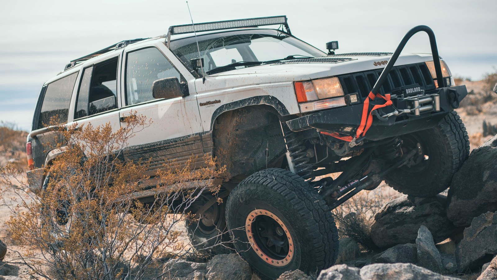 Photo: Grant Allen / Pexels
The broader route is a connector as much as a destination. Box Canyon ties into a whole network of historic mining trails: Martinez Mine, the Coke Ovens, the Sunset Mine, and the Ajax and Woodpecker Mine roads farther north. You can run the canyon and turn around, or you can use it as the front door to a full day of exploring the backcountry between Florence and US-60. That flexibility is part of why it stays busy.
The mileage question, settled
Box Canyon is one of those trails where every source gives you a different number, so it is worth being clear. onX lists the named Box Canyon trail at about 6.5 miles. That figure covers the heart of the run, the wash and the canyon itself. Other trail databases push the distance to roughly 16 miles, and the detailed mile-by-mile descriptions count about 18 miles if you drive the wash all the way north to the Ajax Mine and Reymert Mine junction. AllTrails entries scatter across 12, 20, and 26 miles depending on which segment and which terminus they measure to.
None of those are wrong. They are just measuring different things. The honest way to think about it: the canyon experience is a compact 6 to 7 miles, and most people run it as an out-and-back or loop it back via the graded Mineral Mountain roads. If you keep pushing north through the wash to the mine junctions, you are looking at a full 16-to-18-mile day, often combined with neighboring trails. Plan three to four hours for the longer run, more if you stop to poke around the old mine sites.
How to get there and where to stage
The classic approach starts at Florence Junction, where US-60 meets AZ-79. From there you have two common ways in.
The southern, wash-bottom approach comes up from near the Gila River. From AZ-79, turn onto Price Road just after the railroad tracks and follow Price Road and Price Station Road east, staying with it as it parallels and then crosses the railroad tracks. Box Canyon Road leaves the tracks and heads north into the wash at roughly 33.0966, -111.2328. There is good staging right there where the road leaves the tracks, and more about a mile up where the wash opens onto flats with camping spots on both sides.
The northern approach drops in via Cottonwood Canyon Road. From the Florence Junction intersection, head south on AZ-79 about five miles to Cottonwood Canyon Road (look for the turn between mile markers 144 and 145), follow it east to the T with Mineral Mountain Road, then run Box Canyon Road south to the canyon. Either way works. The southern entry puts you at the mouth of the canyon sooner; the northern entry is the way many people loop out at the end of the day.
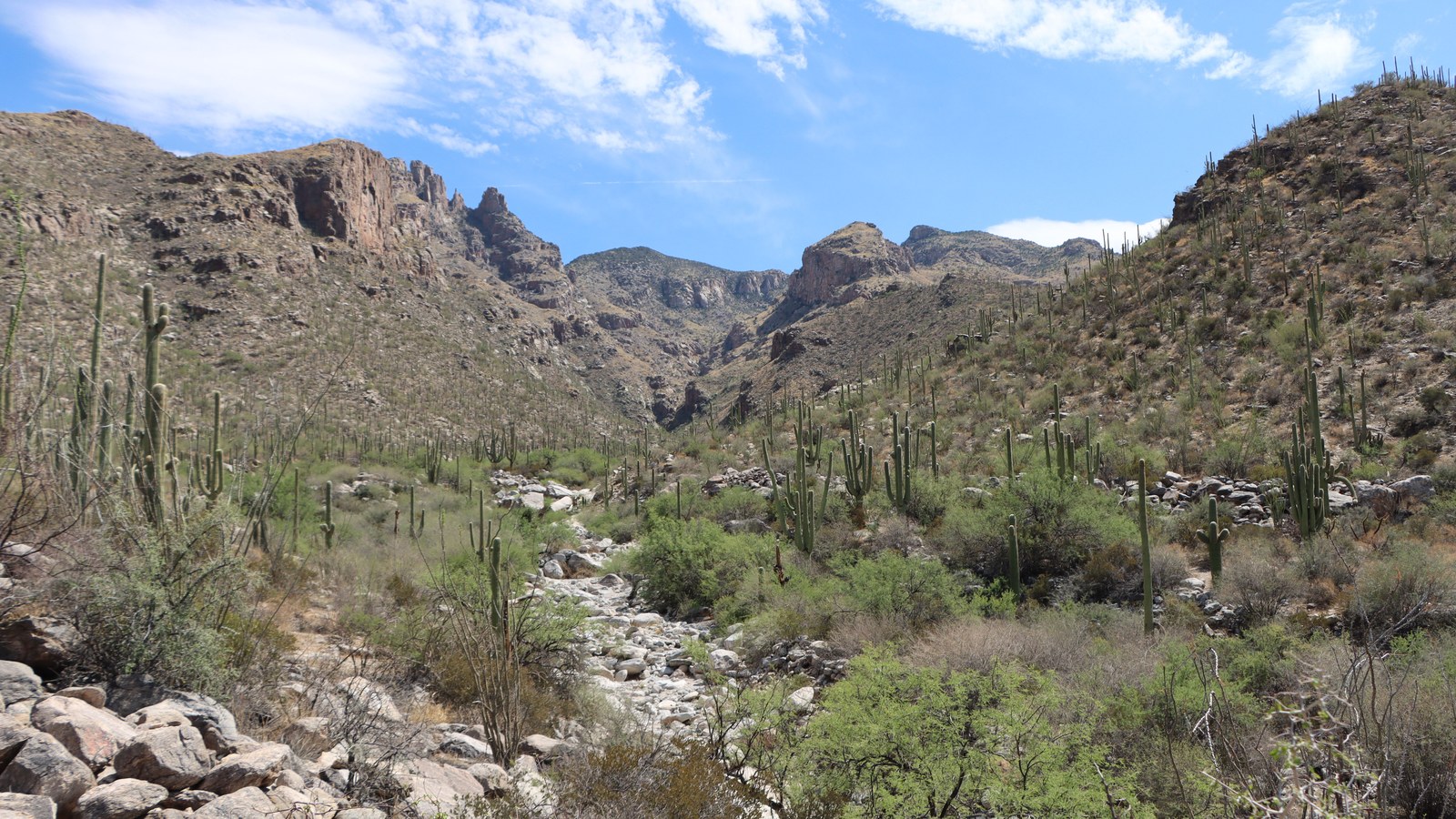 Photo: Lindsey Willard / Pexels
Stage where the road leaves the railroad tracks or at the open spots a mile in. Air down here. The wash sand and the rock obstacles both go far better with pressure dropped, and there is plenty of room to work.
The obstacles, in order
For the first few miles, this is a relaxed drive. The road heads north from the tracks through a normally dry wash, passing staging and camping flats around the one-mile mark, dipping into the wash bottom near 1.3 miles, and returning to hard-packed road before the canyon. Easy, scenic, nothing technical. Then it tightens.
Around the 3.5-mile point, the trail enters the steep-sided walls of Box Canyon. For the next mile and a half you creep along the bottom of the gorge. Expect mostly sand with occasional rock obstacles to crawl over, and watch the blind corners, because the canyon is genuinely too narrow to pass another vehicle in places. This is the showpiece stretch, the part everyone comes for, where the rock walls jut straight up from the wash floor.
The trail’s character has changed in recent years. Heavy rains and flash floods have reworked the canyon, widening sections, carving new squeezes, and turning what used to be minor rock outcroppings into real obstacles. The iconic Poser Rock has shifted, and easy bypasses that used to exist around the harder lines are largely gone. The waterfall, or ledge, is the standout: a rock step that, depending on conditions and your approach, ranges from moderate to genuinely challenging.
Two obstacles drive the trail’s Moderate rating. Drivers who have run it recently describe a first rock step that most rigs handle with care, and a second, tougher obstacle that asks you to set your passenger-side tires up on a ridge or canyon wall while the other side rides a pair of rocks. That second one is where some folks turn around. A good spotter and properly aired-down tires make the difference. If you would rather skip the technical line entirely, there is a dirt-road bypass that climbs out to the north and rejoins the route, though it trades the canyon’s best section for an easier grade.
Past the canyon, near the 5-mile mark, the trail leaves the tight walls and continues in the open wash. Keep north, ignoring the side trails, and you reach the rocky step and mining junctions farther up if you are running the full route.
Landmarks and waypoints along the route
Box Canyon is stitched together with Arizona mining history, and the route doubles as a tour of it.
Just past the canyon, around 5.4 miles, the Martinez Mine and Coke Ovens trails break off to the right, a worthwhile detour if you want to stretch the day. Near 6.5 miles, off to the left of the wash, sit the remains of an old collapsed building rumored to be a stage depot, a good spot to stop and take a break. Push farther and you hit the Sunset Mine around 8.2 miles, where tailings and old mining roads are about all that is left, and eventually the major junction near 9.9 miles where the route splits toward the Ajax and Woodpecker Mines or north to Reymert Mine and US-60.
 Photo: Ryan Leeper / Pexels
The canyon itself is the headline, but the side trails and mine sites are why locals treat Box Canyon as a launch point rather than a one-and-done. If you have the time and the permit, the area rewards a full day.
The rig you actually need
Here is the honest assessment. For the easy 90 percent of Box Canyon, a stock SUV with decent ground clearance will get through the wash and most of the canyon. People do run it in capable stock rigs. But that easy majority is not the whole story, and the parts that aren’t easy are the parts that hurt vehicles.
You want high clearance and real four-wheel drive. The wash sand and the rocky chokes both punish low-slung vehicles, and recent flash-flood damage means there is no longer a clean bypass around the worst obstacles inside the canyon. Skid plates and rocker protection are smart insurance for the rock steps. Drivers consistently recommend at least 14 inches of clearance under the rocker panels for the toughest squeeze, where you ride one side up on the canyon wall.
 Photo: Lindsey Willard / Pexels
A shorter wheelbase is an advantage in the canyon’s tight corners and over the ledges; full-size trucks and long-wheelbase rigs can bottom out or struggle to clear the rock steps, and a few have had to turn back at the harder obstacle. None of this means you need a built buggy. It means you need clearance, four-wheel drive, the discipline to air down, and a spotter for the two real obstacles. Carry recovery gear, plenty of water, and the standard desert kit, because cell service drops in the canyon bottom and you are a fair distance from help.
Permits, fees, and the rules
This is the part you cannot skip. Box Canyon crosses Arizona State Trust land, and that requires an Arizona State Trust Land Recreational Permit. As of 2026 the permit costs $15 for an individual or $20 for a family (two adults plus their minor children), good for one year, available through the Arizona State Land Department. Carry it. State Trust land is not public land in the way BLM or Forest Service ground is, and enforcement is real.
For current trail conditions, closures, and any restrictions, the managing contact is the BLM Gila District, Tucson Field Office, at (520) 258-7200. Conditions here change, sometimes dramatically, after storms, so a quick check before you head out is worth the call.
Beyond the permit, the rules are the usual desert ethic: stay on the established route, do not cut new lines around obstacles or up the canyon walls, pack out everything you bring in, and respect the old mine sites as the fragile history they are. The wash and canyon are easy to scar and slow to heal.
Best season and the flash-flood reality
Run Box Canyon from roughly October through April. This is low desert, and summer here is brutal, with temperatures that turn a stuck vehicle into a genuine emergency. Fall and spring give you comfortable daytime temps and the desert at its best.
The bigger reason to mind the calendar is water. Box Canyon is, by definition, a wash drive through a steep-walled gorge, and the canyon walls are too sheer to climb out of. That makes it extremely dangerous in a flash flood. A storm miles away, even one you cannot see, can send water roaring down the wash. The hard rule: stay off this trail if rain is in the forecast or if there has been recent rain upstream, and never enter the canyon when weather is threatening. Arizona’s monsoon season, peaking in mid to late summer, is precisely when you do not want to be in the bottom of Box Canyon. The flash floods that reshaped the trail’s obstacles are the same floods that have killed people in slot canyons across the Southwest. Treat the forecast as a hard gate, not a suggestion.
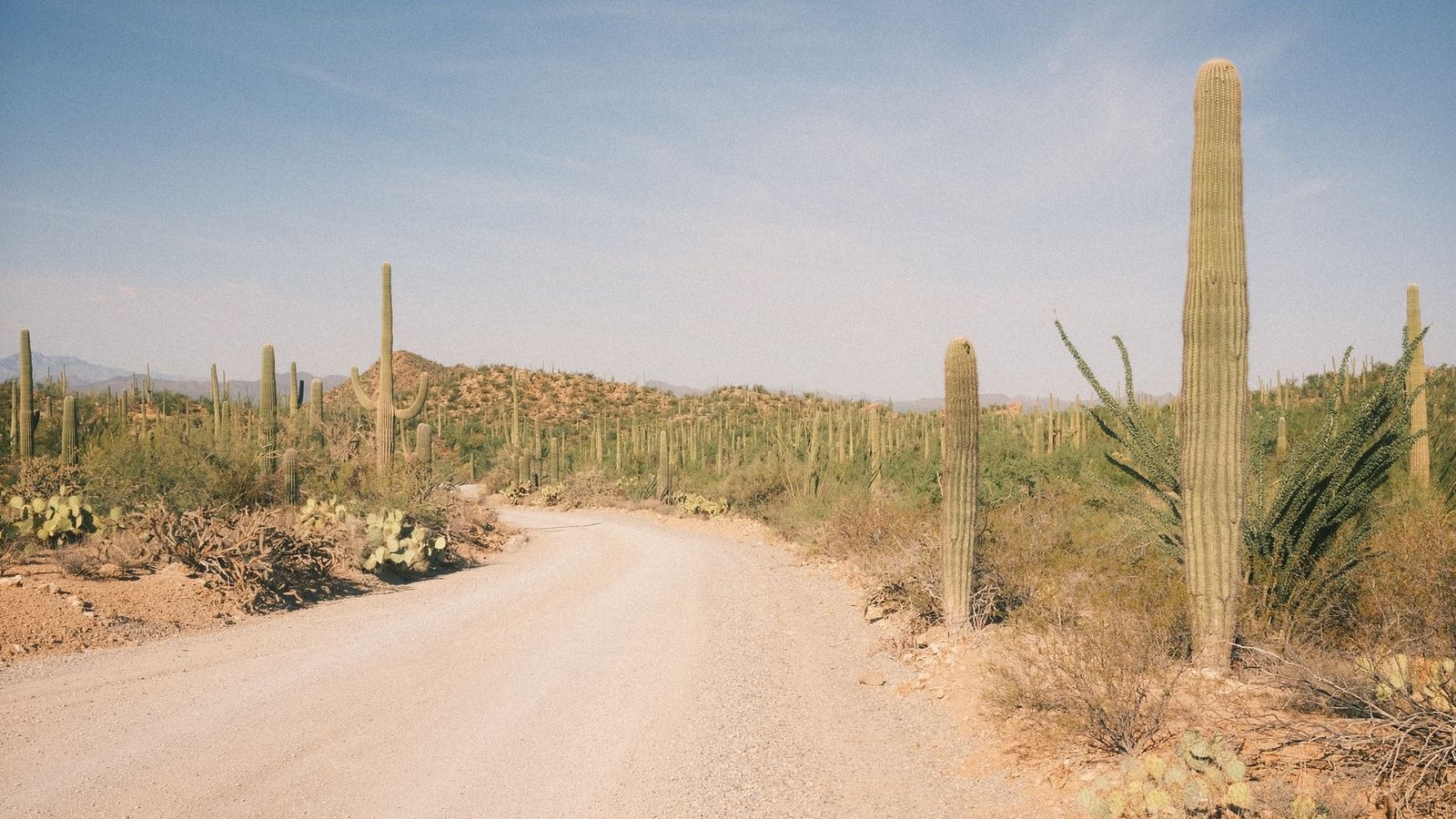 Photo: Dan Davison / Pexels
Keeping Box Canyon open
Trails like this stay open because the people who use them take care of them. Box Canyon sits on State Trust land and BLM-managed country, both of which can be closed to OHV use if the use gets careless. Carry your permit so the State Land Department sees a community that follows the rules. Stay in the established wash and on the existing roads, especially in the canyon where wandering off line scars the walls and floor. Leave the mine sites as you found them. Pack out your trash and anyone else’s you find.
The narrow, high-walled heart of Box Canyon is a genuinely special piece of the Sonoran Desert, the kind of place that makes a Phoenix off-roader feel like they got away with something on a free Saturday. It is worth running, and it is worth protecting. Air down, watch the sky, carry your permit, and enjoy one of central Arizona’s best desert drives.
Hero photo: Alex Moliski / Pexels