Ask anyone who wheels in central Arizona to name a trail everybody should run at least once, and the Backway to Crown King comes up almost every time. It is the classic Phoenix-area day trip: you leave the saguaro flats near Lake Pleasant in the morning, spend the day picking your way up rocky climbs and creek beds through the southern Bradshaw Mountains, and roll into the pine-shaded old mining town of Crown King in the afternoon with a cold drink waiting at the saloon. Roughly 26 miles of trail, close to 5,000 feet of climbing, and a chain of ghost towns and abandoned mines along the way. That combination is why it stays busy, and it is why it keeps earning a spot on Arizona bucket lists.
This guide is for the driver who wants to know what they are actually signing up for before they air down. The Backway has a reputation as a trail you can make as easy or as hard as you want, and that is true, but it is not a beginner road. The upper stretches have real obstacles, the conditions change every single winter, and it is long enough that a breakdown in the wrong spot turns into a serious day. Here is the honest breakdown: how to get on it, the obstacles in order, the rig you need, the rules, and the best time to go.
What the Backway to Crown King actually is
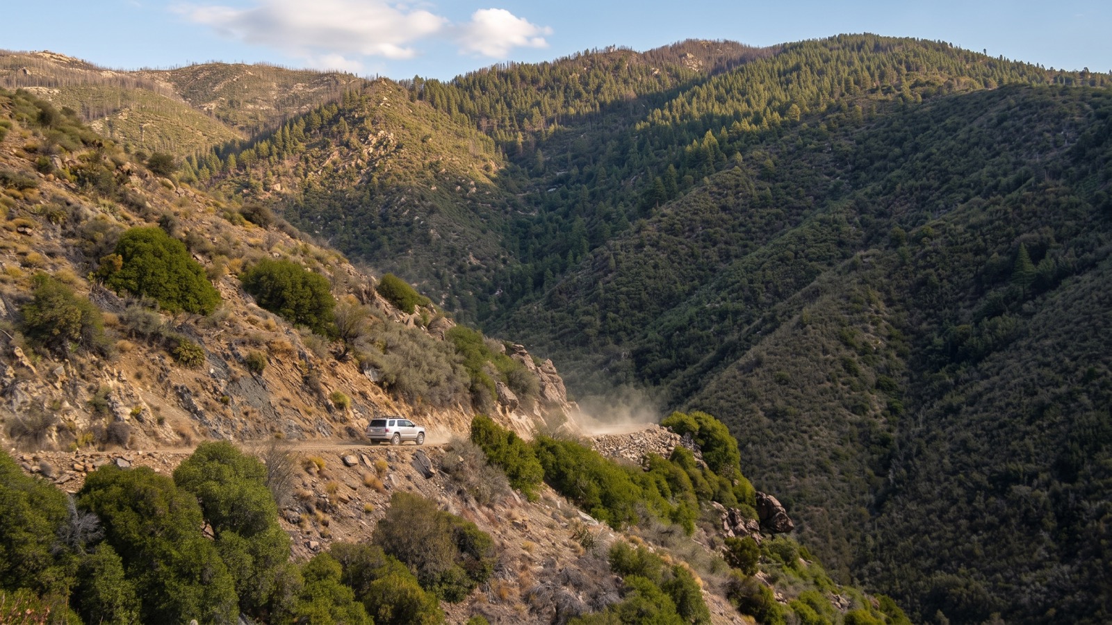
The Backway is a historic wagon-and-mining route that connects the low Sonoran Desert to the old gold town of Crown King, high in the southern Bradshaw Mountains. It sits partly on state and county land at the bottom and climbs into the Prescott National Forest up top, managed by the Bradshaw Ranger District. The name gives away the whole point: the paved way into Crown King comes in from the north off I-17 through Cleator, so running the dirt “backway” from the desert side is the adventurous route, the one four-wheelers take on purpose.
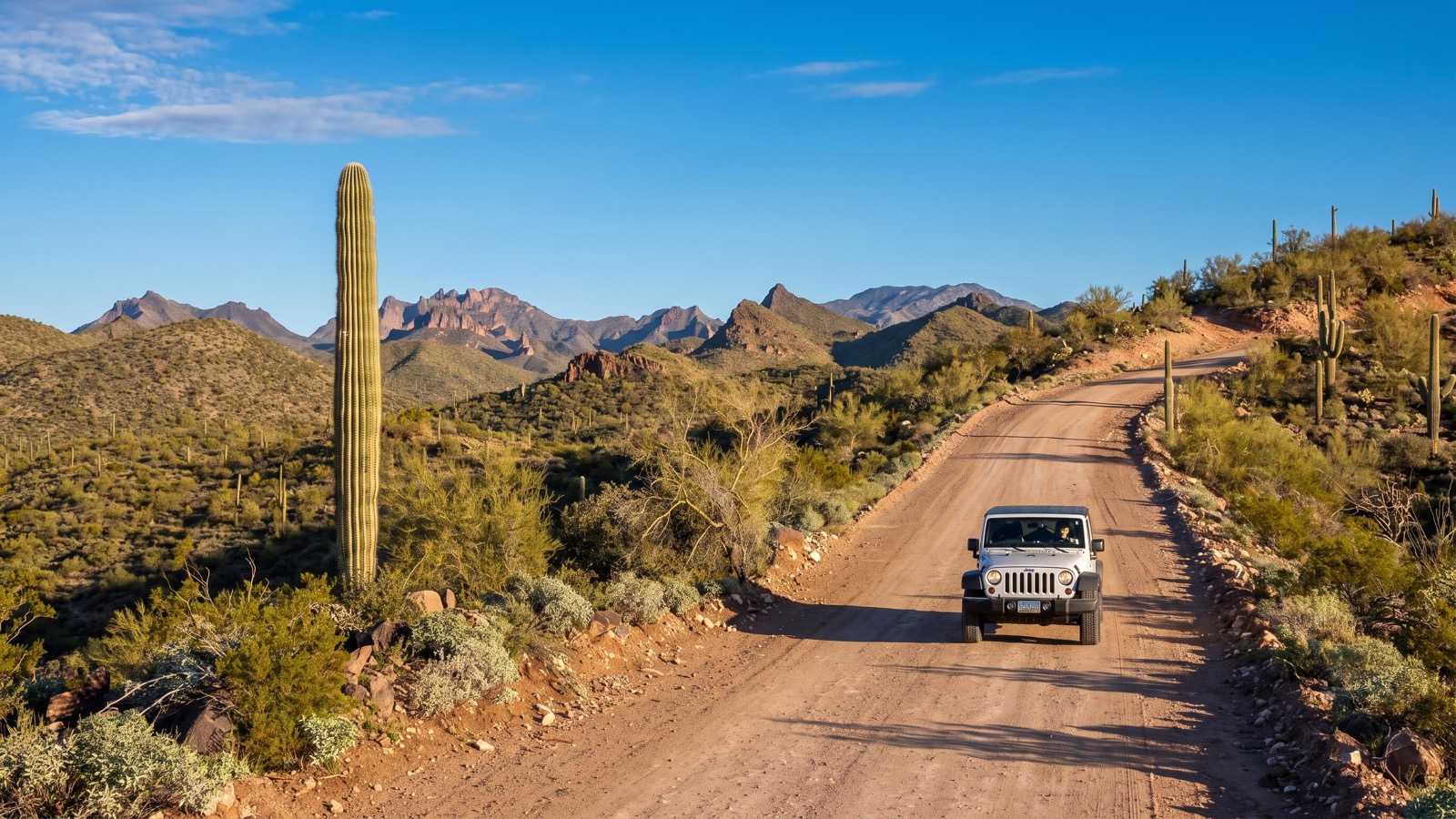
What makes it special is the transition. You start at maybe 1,700 feet in classic Sonoran desert, all saguaro, brittlebush, and gravel two-track. Over the next 26 miles you climb to around 6,500 feet, and the landscape changes completely under you. Desert scrub gives way to oak and chaparral, then to tall ponderosa pine by the time you reach town. Very few trails in Arizona let you drive through that many life zones in a single day, and doing it on a rough, historic route past crumbling mine works is what gives the Backway its character.
It is also genuinely popular. onX calls it the most popular 4x4 trail in Arizona, and on a nice spring weekend you will see Jeeps, side-by-sides, and dirt bikes all working their way up. That popularity is part of the experience and part of the hazard, which we will get to.
How to get there and where to start
The most common way on is from the Lake Pleasant side, northwest of Phoenix. From the Loop 101 in the West Valley, work your way north to AZ-74 (Carefree Highway), then to Castle Hot Springs Road, which you follow north past Lake Pleasant until the pavement ends. Follow the signs for Crown King by turning onto Cow Creek Road. There is a staging area on a wide dirt strip a mile or so in, around 33.9506, -112.3112, where people air down and group up. Reset your odometer here so the mileage callouts below line up.
The trail runs one direction, climbing north and west toward town. Because it is a point-to-point route, you have a decision to make about the return. Most people drive back down the same way, which is fine and gives you the obstacles from the other direction. The alternative is to leave Crown King the easy way, north on the graded Crown King Road down to Cleator and out to I-17, then loop back to the Valley on pavement. That turns it into a big day either way, so plan on a full day and a very early start.
A quick word on the drive itself: this is a real commitment of time, not just trail miles. Between the highway approach, the trail, and getting home, it is an all-day affair from Phoenix. Do not treat it like a quick after-work run.
The obstacles in order
For the first several miles from staging, the Backway is easy. Wide, graded dirt climbing gently through the desert, past an old settlement on French Creek and a scenic overlook. Any high-clearance vehicle in four-wheel drive handles this section without drama. That easy start is exactly why the trail gets a reputation as beginner-friendly, and exactly why people underestimate what comes next.
Around the 11-mile mark you reach CK Rock, a big slab that has become the traditional photo stop. People pose their rigs up on it. Turn as directed here, and from this point on the trail changes personality: it gets rougher, narrower, and starts demanding real high clearance and low range.
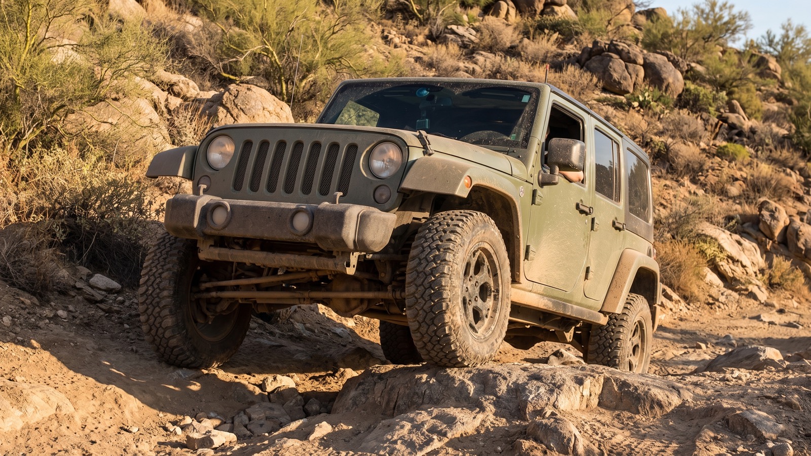
The first climb hits shortly after CK Rock. Then near mile 13 the trail leaves a wash and climbs the hardest hill on the lower half, a rocky pitch that rewards careful tire placement and a spotter. There is a bypass for most of the tough spots down here, so drivers with more capable rigs can take the hard line while everyone else takes the easy route. That is the whole “as easy or as hard as you want” thing in action. Another difficult hill comes around mile 14.6, and then it eases off and winds north, crossing in and out of creek beds.
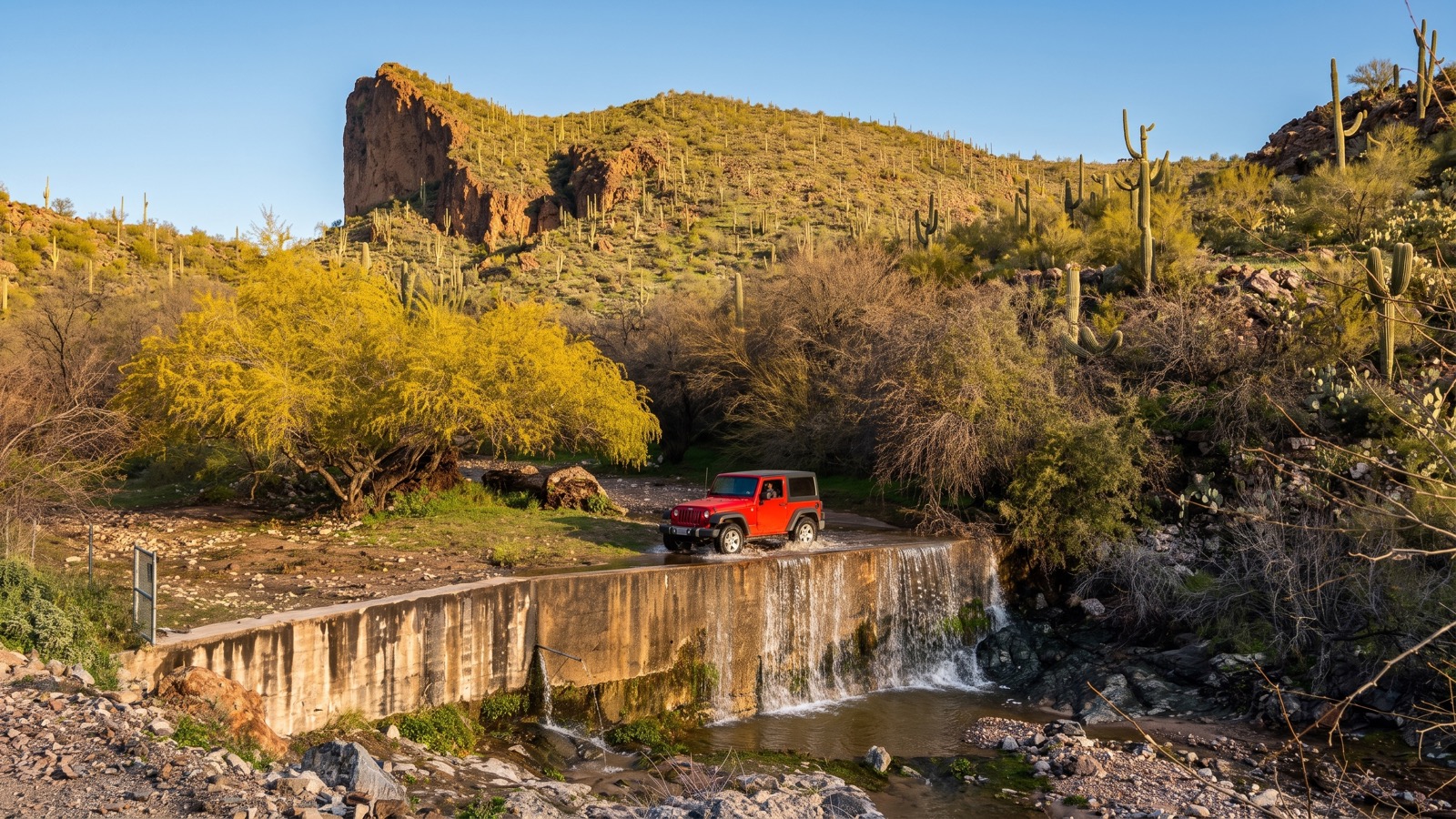
At about mile 17 you cross a cattle guard into the Prescott National Forest. This is where conditions get unpredictable. Everything above here is shaped by winter runoff and summer monsoon storms, so the rockiness and rutting depend entirely on how recently it was maintained and how hard the last season hit. The creek-bottom sections in here can be smooth one year and a rock garden the next. Pick the easiest line through the creek and take your time.
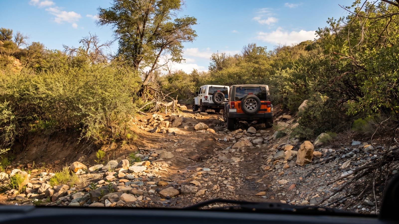
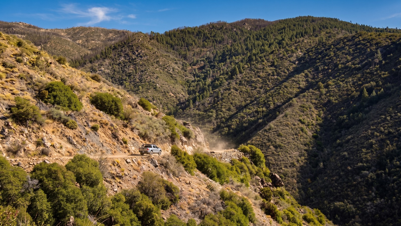
The genuinely serious stuff is up top. After the Oro Belle area the trail turns onto a narrow shelf road (Forest Service 192) that starts easy and deteriorates fast. Several sources call the worst spot on the whole trail somewhere in this upper stretch, a rocky pitch with no bypass where stock vehicles have sometimes had to stack rocks to get through. This is the one you cannot avoid, and it is why the trail earns its Difficult rating despite the mellow beginning. Add narrow shelf sections with real exposure, and the top of the Backway is no place to be tired or in a hurry.
Ghost towns, mines, and landmarks along the way
Part of what makes the Backway more than just an obstacle course is the history scattered along it. This whole range was gold country, and the trail is a rolling museum of it.
Around the halfway-and-up section you pass the ruins of Fort Misery, which sits in a scenic clearing off to the side and makes a perfect lunch stop. It was the home of a local miner, Al Francis, who jokingly gave his cabin the grim name. A little farther on you reach the townsite of Oro Belle, a genuine ghost town where you can still find a high rock wall cut into the bank that was part of an old hotel, plus mine remnants up on the hillside above. The stone-masonry walls that hold up the shelf road here were built by hand well over a century ago, and driving on infrastructure that old is a strange and cool feeling.
There are side trips too. A rough spur climbs to the Tunnel Mine if you have the time and the clearance, and other faint tracks connect a web of old diggings. None of that is required, but it is the kind of thing that turns the Backway from a drive into a day of exploring.
Crown King: the payoff at the top
The reward for all that climbing is Crown King itself, a tiny mountain town at around 6,000 feet that has been hanging on since the mining days. It was named for the Crowned King Mine, the biggest mine in the Bradshaws. Today it is a handful of weathered buildings, ponderosa pines, and the famous Crown King Saloon, which claims to be one of the oldest continuously operating saloons in Arizona. There is food, fuel, and lodging in town, so you can grab lunch, refuel, and swap trail stories before heading back.
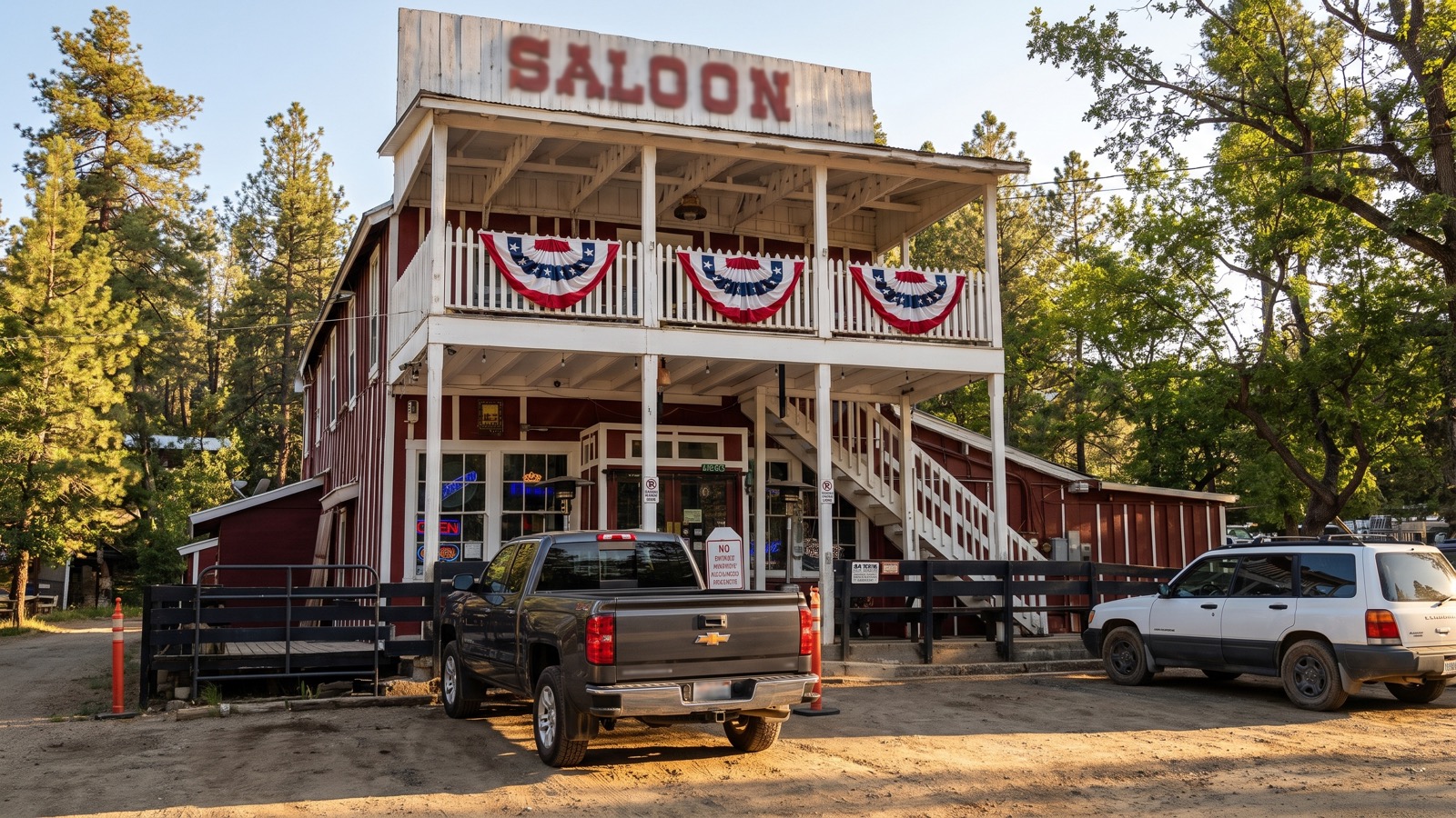
The contrast is the whole point. You started the day in cactus and gravel, sweating, and you finish it in cool pine shade with a real town at the end of the trail. Very few off-road runs give you that kind of arc.
The rig you actually need
Do not let the easy opening fool you. To run the full Backway you want, at minimum, a high-clearance vehicle with real four-wheel drive and low range. A bone-stock crossover will not make it up the rough upper sections. Here is the honest list:
- Tires: aggressive all-terrains at a bare minimum; a light-truck A/T or mud-terrain in the 33-inch range is the comfortable norm for the harder lines. Air down for grip and ride quality.
- Clearance: genuine ground clearance matters on the rocky pitches and the creek bottoms. Skid plates are strongly recommended, and most of the trip reports mention them.
- Lockers and articulation: not strictly required if you take the bypasses, but a rear locker and decent flex make the hard lines a lot less stressful. Aggressive stock rigs with good articulation can get up most of it if they pick their lines and skip a fun hill or two.
- Recovery gear: a proper recovery kit, a spotter, and a buddy. More on that next.
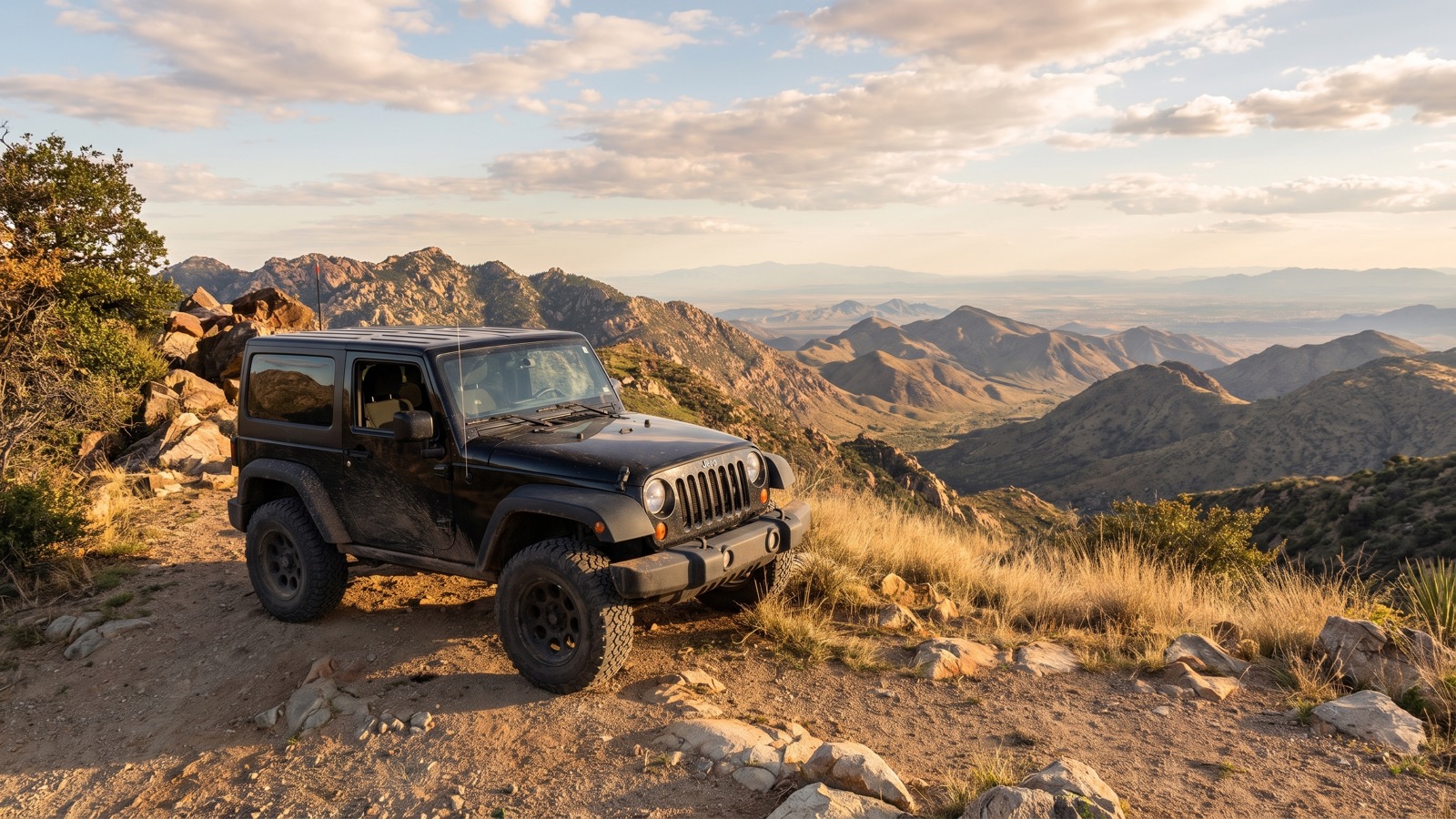
If you are in a well-built Jeep, Bronco, 4Runner, Tacoma, or similar, you are fine. If you are in something stock and low, run the easy lower section and turn around before CK Rock rather than getting in over your head up top.
Rules, safety, and conditions
Good news first: as of the latest information, no permit is required to run the Backway. It crosses public land and, up top, the Prescott National Forest, where unlicensed off-highway vehicles are allowed on Forest roads. One important catch: you should be street legal on Cow Creek Road at the bottom, since that stretch is not a Forest road, and fines are possible for unlicensed rigs there.
Now the real safety talk:
- Do not run it alone. This is repeated in nearly every trip report for a reason. It is long, it is remote in the middle, cell service is spotty, and the hard obstacle up top has no bypass. Go with at least one other vehicle.
- Check conditions before you go. The upper trail changes with every winter melt and every monsoon. Erosion exposes rock and cuts ruts, and there can be flowing water in the creek crossings at certain times of year. Call the Bradshaw Ranger District at (928) 443-8000 for current info, and in winter the Crown King General Store often knows the latest.
- Watch for traffic. As one of the busiest trails in the state, it can get crowded on weekends, with Jeeps, side-by-sides, and dirt bikes all sharing narrow, blind sections. Take the corners slow and keep an eye behind you.
- Carry the basics. Recovery gear, a first-aid kit, plenty of water, and tools. The desert start is hot and the top is at elevation, so pack for both.
Best season and weather
The sweet spot is spring through fall, but it comes with a nuance because of the elevation range. Down in the desert at the start, mid-summer is genuinely dangerous heat, so summer runs mean an early start and a lot of water. Up at Crown King, though, the high country stays pleasantly cool even in July, which is why onX lists summer as a good time up top. Spring and fall give you the best of both, comfortable temperatures top to bottom.
Winter is doable but bring the right expectations: the upper elevations can see snow and ice, the creek crossings may run higher, and conditions are at their most unpredictable. If you go in the cold months, call ahead.
Tread lightly and keep it open
The Backway to Crown King is popular precisely because it stays open and stays fun, and that is not guaranteed. Stay on the established route, do not cut switchbacks or blaze around obstacles into the brush, and be quiet and respectful through the private residential areas near the bottom, especially about kicking up dust. Pack out everything you bring in, and if you explore the ghost towns and mines, look but do not take or damage anything. These sites are fragile and irreplaceable, and the reason we can still drive past 120-year-old stone walls is that people before us left them alone.
Run it smart, run it with a group, and give this classic the respect it has earned. Crown King has been welcoming tired, dusty travelers for well over a century, and there is nothing quite like rolling into town after earning the climb the hard way.