

Everybody talks about the Rubicon. Fewer people talk about Fordyce, and the ones who have run both will tell you why. The Rubicon is the famous one, the bucket-list one, the one with the trim package named after it. Fordyce is the one that breaks the rigs that conquered the Rubicon. The line you hear over and over in the Sierra is that Fordyce is harder than the Rubicon, and it is not hype. This is one of the most difficult 4x4 trails in California, a tight, brutal, granite-and-water gauntlet that has stranded trucks at river crossings and killed at least one person on an organized run. If Rubicon is the rite of passage, Fordyce is the final exam.
So read this whole thing before you point your front tires up it. The defining danger here is not the rock. It is the water, and the water can rise on you without warning. People who treat Fordyce Creek casually are the people who end up swamped, stranded, or worse. Here is the honest, useful version of everything that matters.
What Fordyce actually is
The Fordyce Creek Trail runs about 11.9 miles up into the high Sierra Nevada of the Tahoe National Forest, west of Truckee and not far, as the crow flies, from the Rubicon. It is managed by the US Forest Service through the Yuba River Ranger District, and “managed” is generous, because the Forest Service does not maintain it. This is a raw, unmaintained Jeep trail in the truest sense. You get what the granite and the snowmelt leave behind.
The route is a point-to-point. It starts down near Interstate 80, climbs and follows Fordyce Creek deep into the Sierra, and finishes near Meadow Lake, an alpine spot you can also reach by ordinary dirt road without a built rig. That detail matters, because it means your spotters, your chase support, and your relieved spouse can meet you at the top without driving the trail. Most of the famous obstacles sit in the middle and upper stretches between the creek crossings and the lake.
Do not let the mileage fool you, the same way it fools people on the Rubicon. Eleven point nine miles sounds like a morning. It is not. A built group in good conditions burns a full long day on Fordyce, and a broken rig or a bad water level can stretch it into an overnight you did not plan for. Progress here is measured in feet and in winch pulls, not in miles per hour.
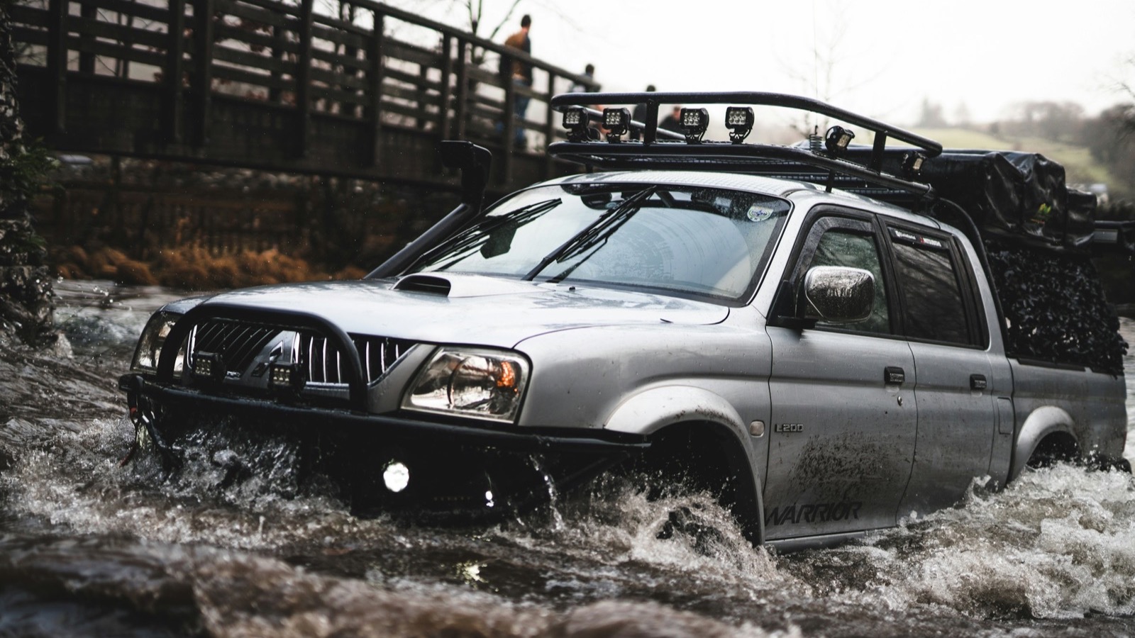 Photo: Thomas Tucker / Unsplash. A built rig running a deep water crossing, representative of the kind of obstacle Fordyce throws at you.
How to get there and which way to run it
The standard staging point is the Indian Springs OHV Staging Area, which sits right next to Indian Springs Campground on the South Yuba River at about 5,600 feet. To get there, take Interstate 80 to Exit 164 for Eagle Lakes Road, turn north, and follow the road a short way as it bends toward the campground and the staging area. The Forest Service pins the campground at roughly 39.3296, -120.5693, and that is where you air down, top off, and form up your group. From the staging area, the Pierce OHV Trail and Eagle Lakes Road feed you onto the Fordyce route proper.
There is some genuine local debate about direction. Most people run Fordyce from the Highway 80 side up toward Meadow Lake. The big organized event actually runs it the other way, dropping down from Meadow Lake to the creek and back. Running up from the bottom has one real advantage that the onX trail notes call out: the trail eases you in. The lower terrain is moderate, and the difficulty ramps up gradually as you climb. That gradual escalation is itself a safety feature, because it gives you a clear, honest warning. If an obstacle down low is already at the edge of your rig or your nerve, the trail above is only going to get worse. The smart move, and there is zero shame in it, is to turn around early rather than commit to terrain that will trap you.
Whichever way you go, this is remote country with no cell service. Download your maps, tell someone your plan, and do not improvise a solo run up here.
The winch hills
Fordyce is famous for two things, and the first is the winch hills. These are exactly what they sound like, climbs so steep and so chewed up that you are expected to pull yourself up them on a cable, not drive them. They are numbered, and they get progressively harder as you go.
There is some disagreement on the exact count. The Forest Service and most references list five official winch hills; a few trip reports and local writeups count six. Either way, the point stands: this trail has multiple climbs where a winch is not a backup plan, it is the plan. Each one is a tight, technical sequence over large, steep, awkwardly stacked granite boulders, the kind of terrain where you place a single tire at a time and a spotter earns every bit of trust you put in them. The higher-numbered hills are the ones that humble fully built rigs and snap driveshafts.
This is why a winch is mandatory equipment on Fordyce, not optional. Bring a real winch, a winch line you trust, a tree saver, a snatch block, and the knowledge to rig a safe pull. Then bring a buddy with another winch, because some of these pulls want a second anchor or a second rig.
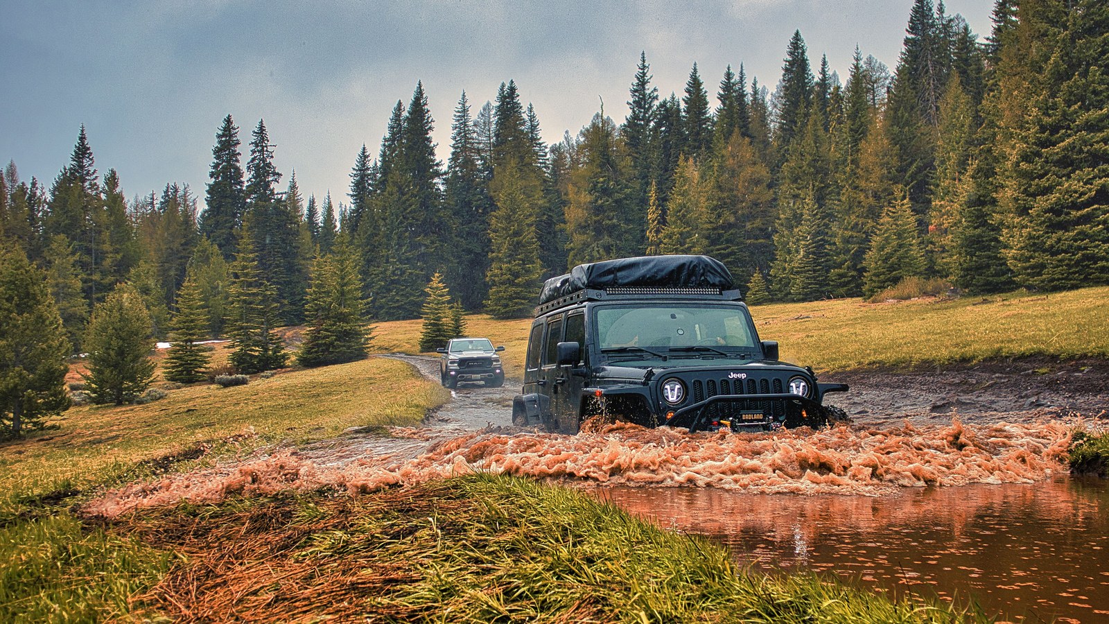 Photo: Danny Kaas / Pexels. Two rigs moving through a forested creek and mud section, the kind of multi-rig travel Fordyce requires.
The water crossings, and the numbers that keep you alive
Here is the part that actually kills people, so read it twice. The defining hazard of Fordyce is not the granite. It is the multiple deep crossings of Fordyce Creek itself, and the thing that makes them so dangerous is that the flow is not natural. Pacific Gas and Electric controls Fordyce Creek with a dam upstream, and they can change the release without warning. The water level at a crossing you cleared this morning can be substantially higher by afternoon. Vehicles get stranded mid-crossing when the level comes up, and a stranded vehicle in moving water is a genuine life-threatening emergency, not an inconvenience.
So you manage this with numbers, not vibes. Before you go, check the real-time flow on dreamflows.com, using the gauge below Fordyce Dam, and keep checking conditions right up until you leave. Here is the rule of thumb the experienced Fordyce crowd uses:
Under about 175 CFS is the target most wheelers aim for to make the crossings with reasonable safety. Highly capable, well-prepared rigs running with strong support might push toward 300 CFS, but that is firmly in extreme, high-risk territory and not a number a first-timer should ever be planning around. Anything higher than that is flatly hazardous, the kind of flow that strands and drowns vehicles. When the creek is running high, the crossings are not a challenge to be conquered. They are a closed door, and the correct answer is to not be there.
Even at safe flows, treat every crossing with respect. Walk it if you can, know your line and your exit, keep your group spaced so you are never relying on a rig that is itself stuck in the water, and never send someone into a crossing without a recovery plan staged and ready on the far bank. Water moves fast and it does not forgive.
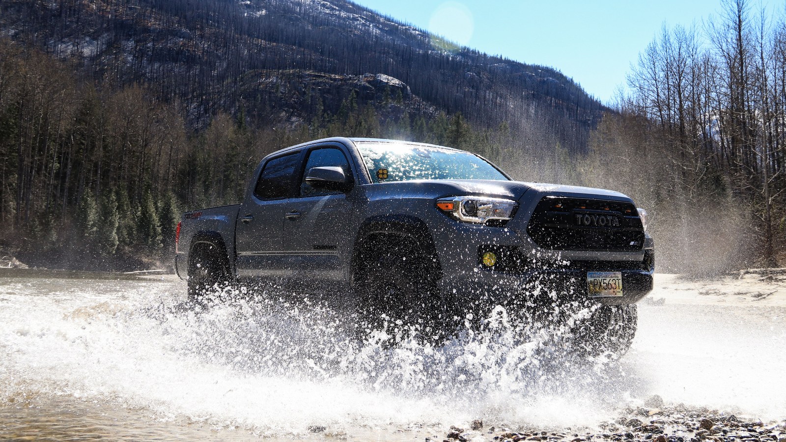 Photo: Zsolt Joo / Pexels. A truck running a mountain river crossing, representative of the Fordyce Creek crossings that are the trail’s most serious hazard.
The rest of the trail: granite, mining history, and Meadow Lake
Between the winch hills and the creek crossings, Fordyce is miles of tight, precise rock crawling over large, steep, jagged granite. There is very little easy ground once you are up in it. You are constantly picking lines through boulder fields and awkwardly positioned ledges that seem placed specifically to catch a diff or a rocker. Body damage and mechanical breakdowns are not a risk on this trail, they are an expectation. Plan for it.
The country itself is spectacular, and there is real history scattered along the way. The Fordyce area runs back to the Gold Rush, and you will pass remnants of old mining operations as you climb. The trail tops out near Meadow Lake, a beautiful high-Sierra lake and the site of a long-gone mining boomtown. It is the kind of payoff that makes the bruises and the winch burns feel worth it, a quiet alpine finish after a day of total focus.
 Photo: Zsolt Joo / Pexels. A truck running a mountain river crossing, representative of the Fordyce Creek water that is the trail’s most serious hazard.
The rig you actually need
Let me be blunt, because Fordyce punishes the underbuilt harder than almost any trail in the state. This is not a trail you upgrade your way onto with a lift and bigger tires. It is a trail you build a dedicated rig for.
The real minimum, the numbers the Sierra Trek event itself sets as prerequisites and the onX notes echo, is 35-inch tires, lockers front and rear, a winch, and serious armor. That means skid plates, rock sliders, and bumpers you do not mind using, because you will use them. From there, the rigs that actually run the harder lines comfortably are on 37s or bigger, with dual lockers, very low crawler gearing, and built axles. You will hear old references to 33-inch tires and one locker being the bare entry point, and that may technically get a skilled driver through the easiest version of the route in perfect conditions, but it is not the honest standard for the full trail today. Show up underbuilt and you become the recovery operation that holds up everyone behind you.
Beyond the rig itself, carry spare parts. Real ones. U-joints, a spare driveshaft, axle shafts, a tire repair kit, an air compressor, and the tools and skill to swap them on the trail. Fordyce breaks things, and the nearest parts store is a very long way down. Bring a CB or GMRS radio so your group can talk through crossings and winch pulls, plenty of food and water, and overnight gear even on a day run, because a broken rig can turn your day trip into a night out whether you planned for it or not.
And the cardinal rule, the one that is non-negotiable on this trail: never run Fordyce alone. Run it with multiple well-equipped rigs, every time. Your group is your winch anchor, your recovery, your spare parts, and your only fast way out of trouble in a place with no signal and no maintenance crew.
Permits, fees, and the rules
The paperwork is simple. There is no fee and no special permit just to run Fordyce in a street-legal 4x4. It is an OHV trail on national forest land, open to all off-highway vehicles. If your rig is not street legal, California law means you need a green sticker registration and a working spark arrestor to run it here.
What there is no substitute for is preparation and respect for the land. This is unmaintained backcountry in a fire-prone forest. Fire restrictions can be imposed at any time in the Tahoe National Forest during hot, dry conditions, which can shut down campfires or more, so always check current restrictions with the Yuba River Ranger District before you go. Pack out everything you bring in, stay on the established route, and treat the historic mining remnants and the country itself as the irreplaceable things they are. Trails like Fordyce stay open because the people who run them prove they can be trusted with them.
The Sierra Trek, and why first-timers should consider it
Fordyce is the crown jewel of the Sierra Trek, an annual event hosted by the California Four Wheel Drive Association, traditionally held the first full weekend in August. For a first-timer, this is genuinely the smart way to see the trail. During Sierra Trek, experienced spotters are stationed with equipment at the critical obstacles to help you through, you are surrounded by a community of capable rigs, and crucially, PG&E lowers the creek flow for the event so the water crossings are at their most manageable.
That last point is worth sitting with. The single most dangerous variable on this trail, the unpredictable creek, is actively controlled and reduced during the event. Outside of Sierra Trek you get no such favor. You are on your own with whatever PG&E happens to be releasing that day. That is a big part of why running Fordyce inside the event, at least your first time, is the move a lot of veterans recommend.
It is also worth being honest about the stakes. During the 2018 Sierra Trek, a man died in a rollover on this trail. Rollovers, strandings, and serious damage are real and recurring outcomes here, even with support on hand. This is the most serious trail most people will ever attempt, and it deserves to be treated that way.
Best season and the snow window
Fordyce is a late-season trail, and that is dictated by the water as much as the snow. Early in the year, June and July, the snowmelt has the creek running high, and the crossings are often outright impassable. You simply cannot safely run it when Fordyce Creek is up. As summer wears on and the flow drops, the window opens.
The sweet spot most veterans point to is late September until the first snowfall. By then the creek is at its lowest and most predictable, the high country is dry, and you get the safest version of the crossings the trail ever offers. The catch is that this same window butts right up against winter, and the first serious Sierra storm can shut the high country down fast and early. So the season is narrow on both ends: too early and the water stops you, too late and the snow does. Watch the flow gauge, watch the forecast, and be ready to call it off if either one turns against you.
Run Fordyce right and it is the hardest, most rewarding day of wheeling California has to offer, a trail that makes the Rubicon feel like a warmup. Run it wrong, underbuilt, alone, or with the creek up, and it will take your truck and possibly a great deal more. Build the right rig, run with a strong group, respect the water above all else, and earn your way to Meadow Lake the hard way.
Hero photo: Jimzubrowski / Wikimedia Commons (CC BY-SA 4.0)