Some trails are about the obstacle. This one is about the crossing. Mengel Pass and Goler Wash together form the only 4x4 route that punches all the way through the heart of the Panamint Range, the great wall of rock that separates Panamint Valley from Death Valley itself. You do not run this trail to conquer a single rock ledge. You run it to drive across a mountain range into one of the most isolated valleys in the Lower 48, past prospector cabins and a stone grave on the summit, past the desert hideout where the Manson Family was finally cornered, and out the far side into scenery most people who visit Death Valley never even know exists.
It is a serious undertaking. There is no fuel, no water, no cell service, and no one coming to help if you break something in the wrong place. The pass itself is short but genuinely difficult, and the desert here kills the unprepared with heat every single summer. Get the timing, the rig, and the prep right, and this is one of the great backcountry adventures in California. Get them wrong and it is a very long walk. Here is everything you need to know before you point your rig at the Panamints.
What this route actually is
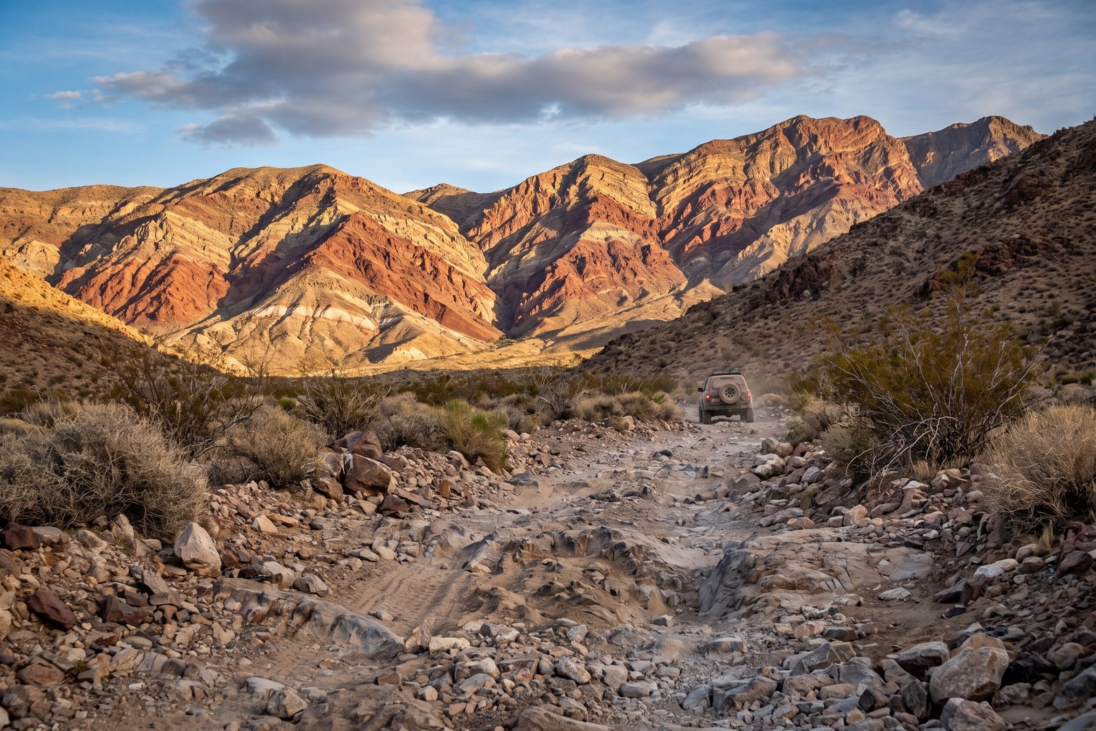
Mengel Pass tops out at roughly 4,300 feet (sources put it between 4,304 and 4,328 feet) and is the only drivable crossing of the Panamint Range south of Wildrose and Emigrant Canyons. The full trip links three named sections into one crossing: Warm Spring Canyon on the Death Valley side to the east, the high, open Butte Valley in the middle, and Goler Wash dropping down the Panamint Valley side to the west. Mengel Pass is the saddle in the middle where Butte Valley meets Goler Wash, and it is the crux of the whole thing.
The route is named for Carl Mengel, a one-legged prospector who worked these canyons for decades in the early 1900s and asked to be buried at the pass. His grave, a stacked pile of rock with a simple marker, still sits right at the summit, and stopping there is a rite of passage on this trail.
You can run the crossing in either direction and treat it as a point-to-point through-trip, or you can drive in from one side, explore Butte Valley, and come back out the way you came as an out-and-back. Most people plan two to three days for the full experience, because the reward here is not just the driving. It is camping in Butte Valley under some of the darkest skies in the country, poking through the old cabins and mine works, and having a corner of Death Valley almost entirely to yourself.
How to get there and which way to run it
There are two ways onto this route, one from each side of the range, and they feel like different worlds.
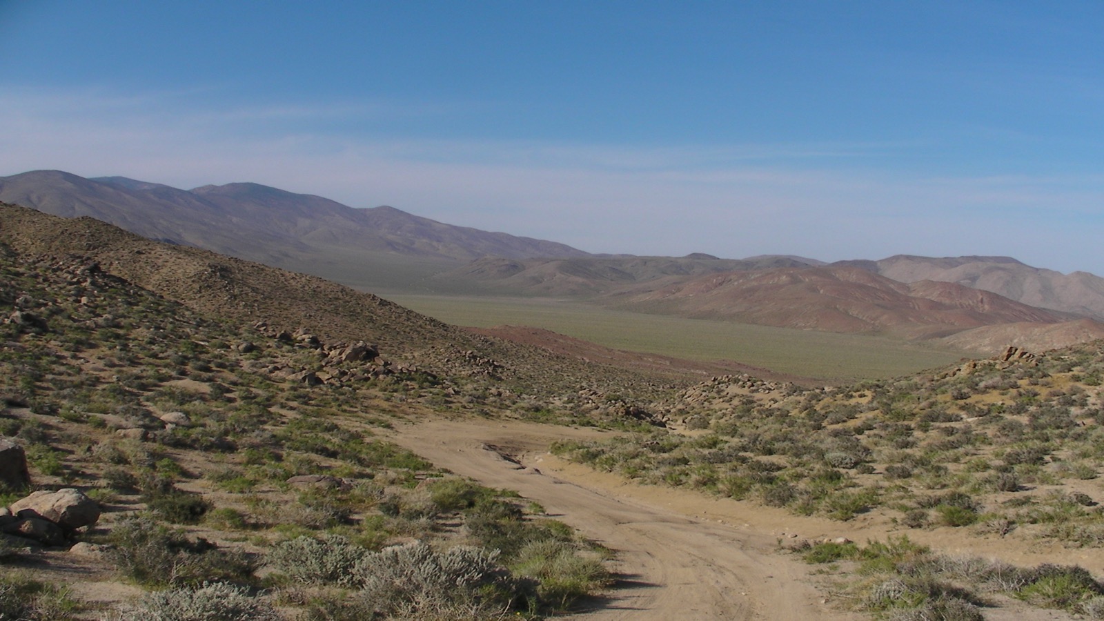
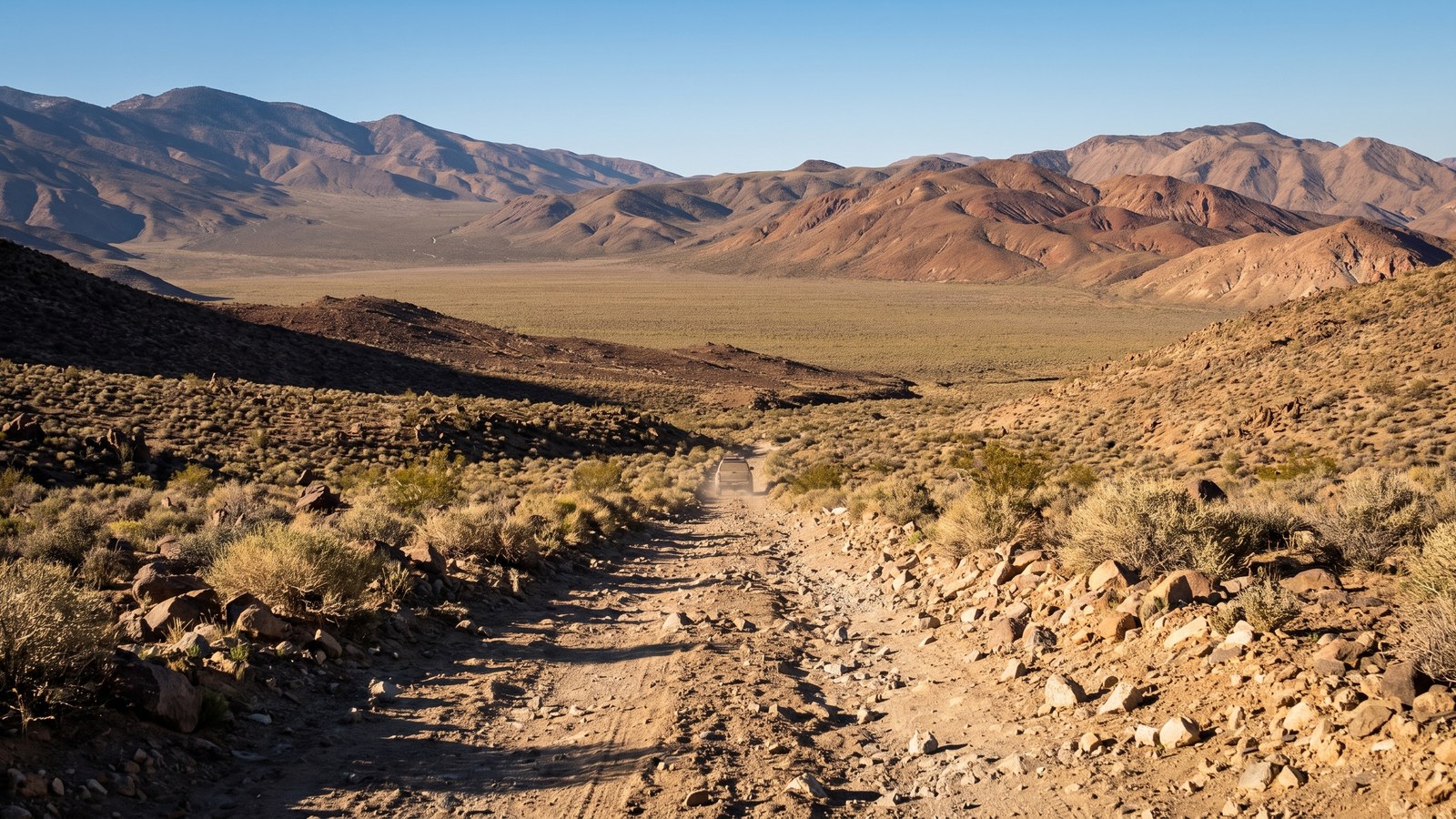
From the Death Valley (east) side, via Warm Spring Canyon. From Furnace Creek, take Badwater Road south about 6 miles, then turn onto the graded dirt West Side Road and follow it roughly 30 to 33 miles to the signed Warm Spring Canyon Road. Warm Spring Canyon Road climbs west past a string of old talc mines and the Warm Spring Camp, gaining elevation steadily. The lower 10 miles or so are usually manageable for a careful high-clearance vehicle, but you will want real four-wheel drive well before you reach Butte Valley. This is the gentler, more graded approach, and it is how a lot of people enter so they can save the hard descent for last.
From the Panamint Valley (west) side, via Goler Wash. From the town of Trona, drive north and east toward Ballarat and the Wingate Road corridor that runs south below the Panamints. Goler Canyon Road branches east off Wingate Road and climbs the alluvial fan about a mile and a half to the mouth of Goler Wash, where the canyon suddenly closes in around you. This is the dramatic entrance, a genuine slot in places, and it climbs the whole way to the pass. Trona is your last fuel and supplies on this side, so top off and stock up there.
Whichever way you go, the single most important planning decision is direction of travel over the pass. The Goler Wash side of Mengel Pass is noticeably steeper and rougher than the Warm Spring side. Many experienced drivers prefer to climb Goler and descend Warm Spring, or to run in from Warm Spring and turn the tough Goler descent into an out-and-back they can bail on. Whatever you choose, know that if you struggle on the last mile up to the pass, that is your signal to turn around rather than commit to the harder side.
The obstacles, in order
Do not let the “crossing” framing fool you. The rating on this route is Difficult, and it earns it in a few specific places. Most of the mileage is easy to moderate high-desert two-track, but the hard sections are real, and their condition swings wildly depending on when the road was last graded and how recently it has rained.
The Goler Wash narrows. Coming up from the Panamint Valley side, the road climbs the alluvial fan on hardpack with no trouble, then enters the canyon mouth. This is a good place to shift into low-range four-wheel drive, because within the first half mile or so there are two short rocky steps where the canyon is barely wider than your rig. Neither is long, but both demand good ground clearance and careful tire placement to keep your undercarriage off the bedrock. There is often a small spring in this stretch, and in cold weather ice on the rock adds real hazard. This is a flash-flood slot, so never enter it with storms anywhere in the forecast.
The mine-country middle. Above the narrows the canyon widens and the road eases as it passes a scatter of relics, the Newman cabin and mine, the Lotus Mine workings, tramway cables, and the occupied-looking Keystone Mine camp clinging to the canyon wall. Water from Lower Lotus Spring often runs down the roadbed here. This middle stretch is the easy part, classic desert cruising past a century of prospecting history.
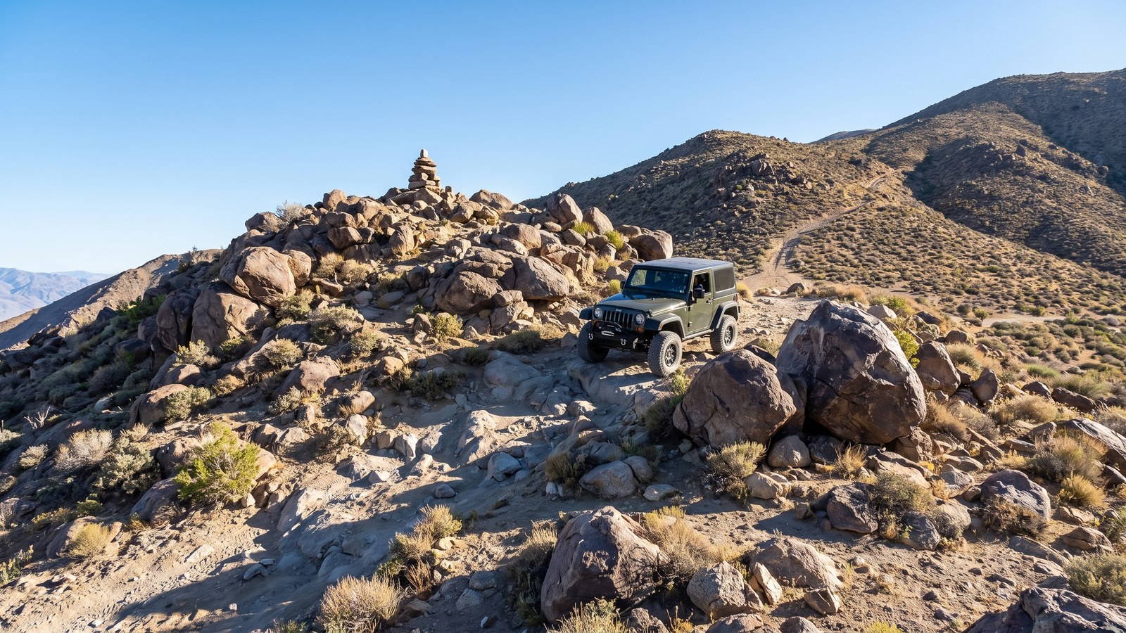
Mengel Pass itself. This is the crux. The final climb to the 4,300-foot saddle is steep, rocky, and off-camber, with a boulder garden that has swallowed vehicle parts for decades. Because drivers stack and restack rocks to build lines through it, the exact obstacles change from year to year, so what you read in an old trip report may not match what you find. On the Goler side especially the pass is unforgiving, and body damage is a real possibility for an underbuilt rig. Sway-bar disconnects and a spotter make a genuine difference here. If the last mile to the top gives you serious trouble, that is the point to reconsider going over.
The Warm Spring side. The eastern descent off the pass into Butte Valley is rougher than the graded lower canyon but generally more forgiving than the Goler side, with rocky sections and washouts that vary with recent weather. Once you drop into Butte Valley the driving mellows out into open, scenic high-desert road.
Butte Valley and the landmarks that make the trip
If Mengel Pass is the challenge, Butte Valley is the payoff. It is a wide, high desert valley cradled in the Panamints with no through-highway connecting it to the rest of the park, which is exactly why it feels so remote. This is where you slow down and explore.
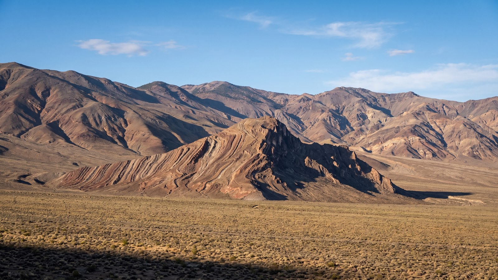
Striped Butte is the valley’s signature landmark, a dramatic upthrust of tilted, banded sedimentary rock rising straight out of the valley floor, its stripes running at a steep angle where the whole formation was folded and turned on end. It is one of the most photographed features in this part of Death Valley and it anchors the view from almost everywhere in the valley.
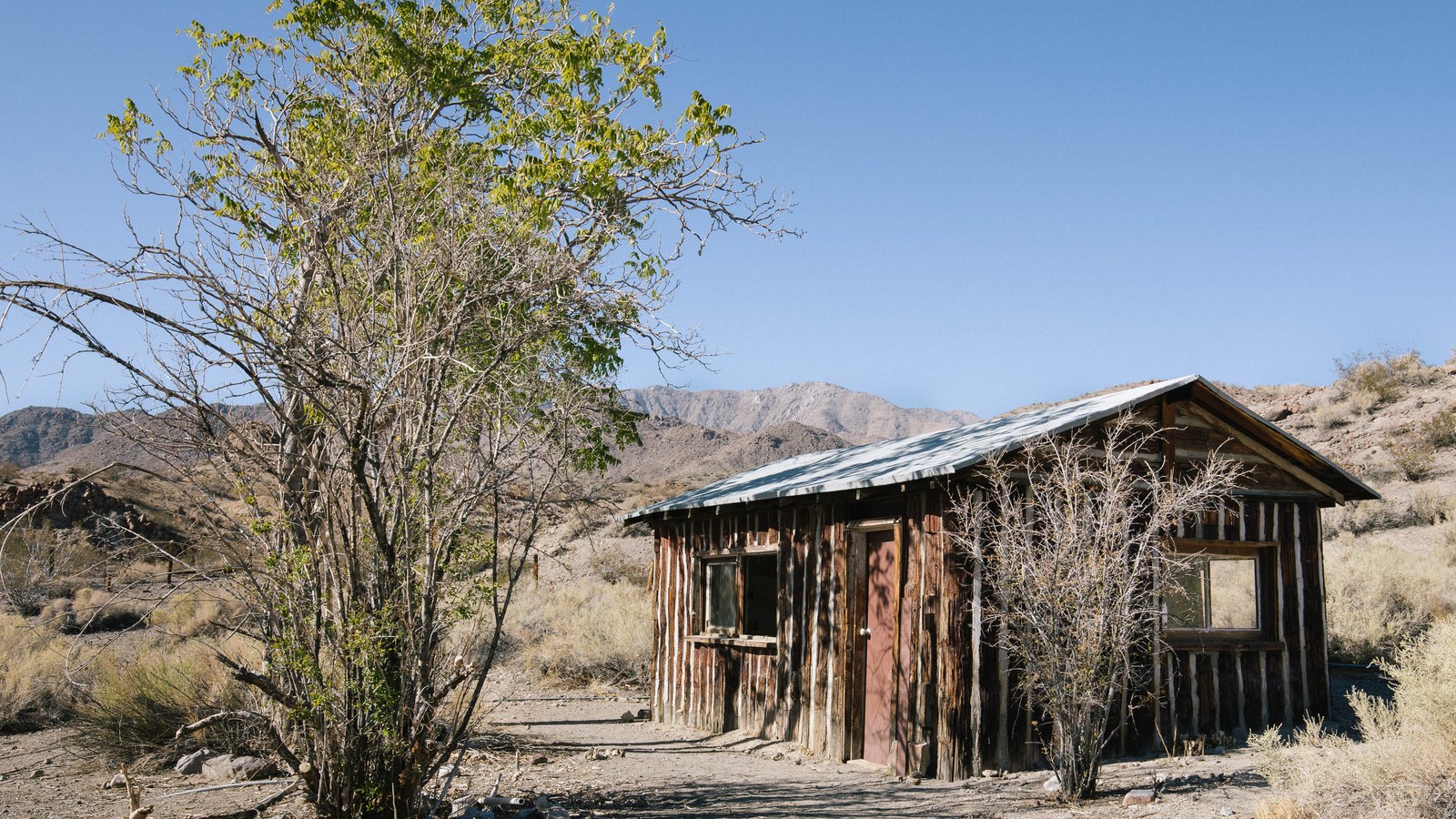
The Geologist’s Cabin sits at the western edge of the valley above Anvil Spring, a tidy little stone cabin built by a prospector named Russell (who, despite the cabin’s name, was not actually a geologist). It is maintained as an informal, first-come backcountry shelter, and its front porch frames a postcard view straight across the valley to Striped Butte. If it is empty when you arrive you are welcome to use it, and the etiquette is simple: leave it cleaner than you found it, replace any wood or supplies you use, and never trash the place. Russell Camp is a second historic cabin in the valley run on the same first-come basis.
Carl Mengel’s grave sits right at the top of the pass, the stacked-stone memorial to the prospector the pass is named for. Most people stop, read the marker, and take a minute with the view before dropping down the other side.
Barker Ranch and the history you drive through
Off a short spur near the lower end of Goler Wash sits the Barker Ranch, and it carries the darkest story on this trail. This remote stone and wood ranch house is where Charles Manson and members of his family holed up after the 1969 murders in Los Angeles, and it is where law enforcement finally arrested Manson in October 1969, reportedly finding him hiding in a bathroom cabinet under the sink.
The main ranch house was heavily damaged by an arson fire in 2009, but stone walls and foundations remain, and the site still draws the curious. It is a genuinely eerie place, quiet and hemmed in by canyon walls, and standing there it is hard not to feel the weight of what happened. Treat it with respect. Like everything out here, the ranch and its remains are on federal land and protected by law. Do not deface, remove, or disturb anything.
The rest of the route is layered with less infamous but equally real history: the Newman and Lotus and Keystone mines, the tramways and rusting equipment, Carl Mengel’s grave, and the prospector cabins in Butte Valley. This entire crossing is a drive through the boom-and-bust story of Panamint mining, and the artifacts scattered along it are what make it more than just a hard road.
The rig you actually need
Be honest with yourself about your vehicle before you commit to this one. The National Park Service calls for high-clearance vehicles just to reach Warm Spring Camp, real four-wheel drive beyond that into Butte Valley, and “rough 4WD” over Mengel Pass. Experienced trip reports go further and warn that stock rigs simply do not have the clearance and articulation for the pass, and that some form of modification is effectively required to get through cleanly.
Honest minimums for the full crossing:
- A capable high-clearance 4WD with low range. A well-built Tacoma, 4Runner, Wrangler, or comparable rig handles it. Stock street-oriented SUVs do not belong on the pass.
- Real skid plates and underbody protection. The narrows and the pass both put sharp rock right where your oil pan, transfer case, and gas tank live.
- Good all-terrain or mud-terrain tires and the ability to air down. Sharp desert rock shreds street tires. Carry a full-size spare, ideally two, plus a plug kit and a 12-volt compressor.
- Sway-bar disconnects or good articulation for the off-camber boulder work on the pass. It makes a real difference here.
- Recovery gear and, ideally, a second vehicle. Travel in a group of two or more rigs. A stuck or broken vehicle out here can mean days of self-recovery, not hours, and there is nothing to winch off of in open desert.
- Far more water than you think you need. Plan at least a gallon per person per day plus a large emergency reserve. A 5-gallon backup jug is standard out here. The springs may be dry or contaminated, so do not count on them.
- Extra fuel and a topped-off tank. There is no gas anywhere on the route. Carry enough to make the whole crossing plus a healthy margin, since low range and sand burn more than you expect.
Permits, rules, and pack-out
This route runs through Death Valley National Park, so the park’s rules apply and the park takes them seriously.
- A park entrance pass is required. There is no separate permit or fee to drive the road itself for a normal-sized group.
- Street-legal vehicles only. Off-road-registered vehicles, ATVs, side-by-sides (RZRs, Polaris, Rhino), dirt bikes, and anything with a California “green sticker” are prohibited on all park roads, paved or dirt. Only properly licensed, street-legal, registered vehicles and drivers are allowed. Dual-sport motorcycles are fine if they are street-legal.
- Stay on the established road. Driving off designated roads is prohibited and strictly enforced. The desert here is fragile and slow to heal, and cutting new tracks causes damage that lasts decades.
- Do not disturb the historic sites. The cabins, mines, Mengel’s grave, and the Barker Ranch remains are all protected. Look, photograph, use the shelters respectfully, and leave everything else exactly as you found it.
- Pack out everything, including all trash and used toilet paper. In the desert, TP does not decompose, animals dig it up, and it fouls the place for everyone. Carry it out.
- Camping is dispersed and follows the park’s roadside-camping rules (generally at least a mile off the graded West Side Road, and not within 100 feet of springs or water sources). Butte Valley is the classic place to camp.
Check current conditions with the park before you go, because weather can turn a passable road into an impassable one, and road closures do happen. Death Valley’s own backcountry guidance is blunt about it: this is remote territory, and doing your homework before you head out could save your life.
Best season and the summer death trap
Timing on this route is not a preference. It is a safety decision. The season is roughly mid-October through April, and the shoulder months of October, November, March, and April are the sweet spot.
Do not attempt this trip in summer. From late spring through early fall the lower elevations here routinely exceed 110 degrees, and Death Valley holds the hottest air temperature ever reliably recorded on Earth. A breakdown in that heat, with no water, no shade, no cell service, and no traffic, is a genuine emergency that has killed people. Multiple guides to this exact route flatly close it May through September for a reason. If it is hot, do not go.
Even in the cool season, watch the sky. Winter can bring snow and ice to the pass and the higher elevations, occasionally enough to need chains. Any rain, or even the threat of it, is a hard stop for the Goler Wash narrows because of flash-flood danger, and wet conditions turn the pass and the washouts far worse. The best windows are stable, dry, cool stretches in the shoulder seasons.
Tread lightly and carry it forward
Places like this survive only because the people who visit them choose to protect them. Everything that makes this crossing special, the untouched narrows, the standing cabins, the quiet of Butte Valley, the artifacts of a century of mining, exists because generations of travelers left it alone.
So stay on the road. Use the shelters gently and leave them better than you found them. Pack out your trash and, when you can, someone else’s. Do not disturb the mines, the grave, or the ranch. Sign nothing, take nothing, break nothing. Travel in a group, tell someone your plan, and give the desert the respect a place this unforgiving demands.
Cross the Panamints the hard, slow, old way, prepared and humble, and you join a long line of people who have made this trip and left it whole for the next rig. There are very few drives left in California that feel this remote and this real. Mengel Pass and Goler Wash are worth every ounce of the preparation they demand.