Holcomb Creek is the trail Big Bear locals send you to when you think you have graduated from the easy stuff. It sits in the San Bernardino National Forest just north of Big Bear Lake, wears a Jeep Badge of Honor, and carries a reputation as second only to John Bull in this part of the range. Some people call it the mini Rubicon. That is a big claim, and Holcomb Creek mostly earns it. This is not a scenic Sunday cruise with a couple of rocks thrown in. It is a genuine black-diamond rock crawl, broken into two serious boulder fields with a fun, mellower middle, and it will find the weak link in your rig or your driving if you show up unprepared.
This guide is for the driver who wants the honest picture before they load up and head for Green Valley Lake: what the trail actually is, how to get on it, the obstacles in the order you meet them, the rig you genuinely need, the rules that keep it open, and the season that keeps you out of the snow. Holcomb Creek is designated Forest Route 3N93, and everything below is aimed at getting you through it in one piece with your paint mostly intact.
What Holcomb Creek actually is
Holcomb Creek is a point-to-point rock-crawling trail that runs roughly 5.8 miles through the granite country of the San Bernardino National Forest, tracing the drainage of its namesake creek between about 5,600 and 6,500 feet of elevation. It connects the 3N16 road system near Green Valley Lake and Crab Flats on the west end to Coxey Road and the 3N14 junction on the east. Most people run it west to east, though it goes either direction, and reversing it just swaps which obstacles you climb and which you descend.
What makes it hard is not one giant obstacle. It is the two long boulder fields at each end, stitched together by a much friendlier middle section of sandy two-track and open forest. The rock gardens here are real: big granite boulders, tippy off-camber lines, and a few spots where a bad line pinches a tire against a rock and stops you cold. Add wet tires from the creek crossings and a couple of powdery, off-camber sand climbs, and you have a trail that stays challenging without ever settling into a single make-or-break ledge.
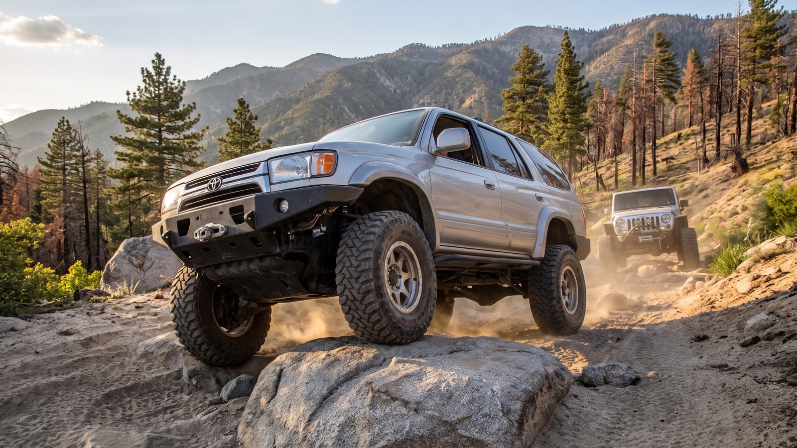
The trail also carries some history in its scenery. A 2007 wildfire tore through this stretch of forest, and Holcomb Creek was closed for years afterward until the My Jeep Rocks club worked with the Forest Service to repair and reopen it. You will still see blackened tree trunks standing among the recovering pines. It is a reminder both of how fragile this access is and of how much volunteer sweat keeps trails like this on the map.
How to get there and where to stage
The classic starting point is the west end, at the intersection of 3N16 and 3N93, roughly at 34.2753, -117.0508. To reach it, you work your way into the Crab Flats and Green Valley Lake area of the forest off Highway 18, then follow 3N16. If you go straight past the Crab Flats junction you drop toward Crab Flat Campground and Dishpan Springs (3N34); to pick up Holcomb Creek you turn east onto 3N93 where it is signed.
That west end is where the trail immediately shows its teeth. The gatekeeper boulder section starts almost right off the road, so there is not much of a warmup. Stage and air down before you commit, because once you are into the first rock garden there is no easy place to stop and sort yourself out.
You can also run Holcomb Creek as an extension of Dishpan Springs, or chain it into John Bull (Trail 71) at the far end for a much bigger day. A side trip to Lower Largo Flats near the west end is a fun add-on. However you sequence it, plan on it being the crux of the day rather than a connector, and give yourself time. Most groups spend a couple of hours or more on the 5.8 miles because you are crawling, spotting, and picking lines, not driving.
The gatekeepers, and why they matter
Both ends of Holcomb Creek are guarded by gatekeeper obstacles, and they are there on purpose. The My Jeep Rocks club, which adopted and maintains the trail, deliberately keeps those gatekeepers hard. They regularly clear stacked rocks and close down the sneaky bypass lines people build to cheat around the tough spots, with special attention to the entrances at each end.
The logic is simple and worth respecting: a gatekeeper is a filter. If your rig and your driving cannot get you past the obstacle at the entrance, you do not belong committing to the middle of the trail, where getting stuck strands you and everyone behind you. Holcomb Creek is narrow, and a broken or high-centered rig at the wrong spot can hold up a dozen other vehicles for a long time. Treat the gatekeeper as an honest self-assessment. If it stops you at the start, that is the trail telling you to turn around before it costs you real carnage in the middle.
The obstacles, in order
Running west to east, here is what you meet.
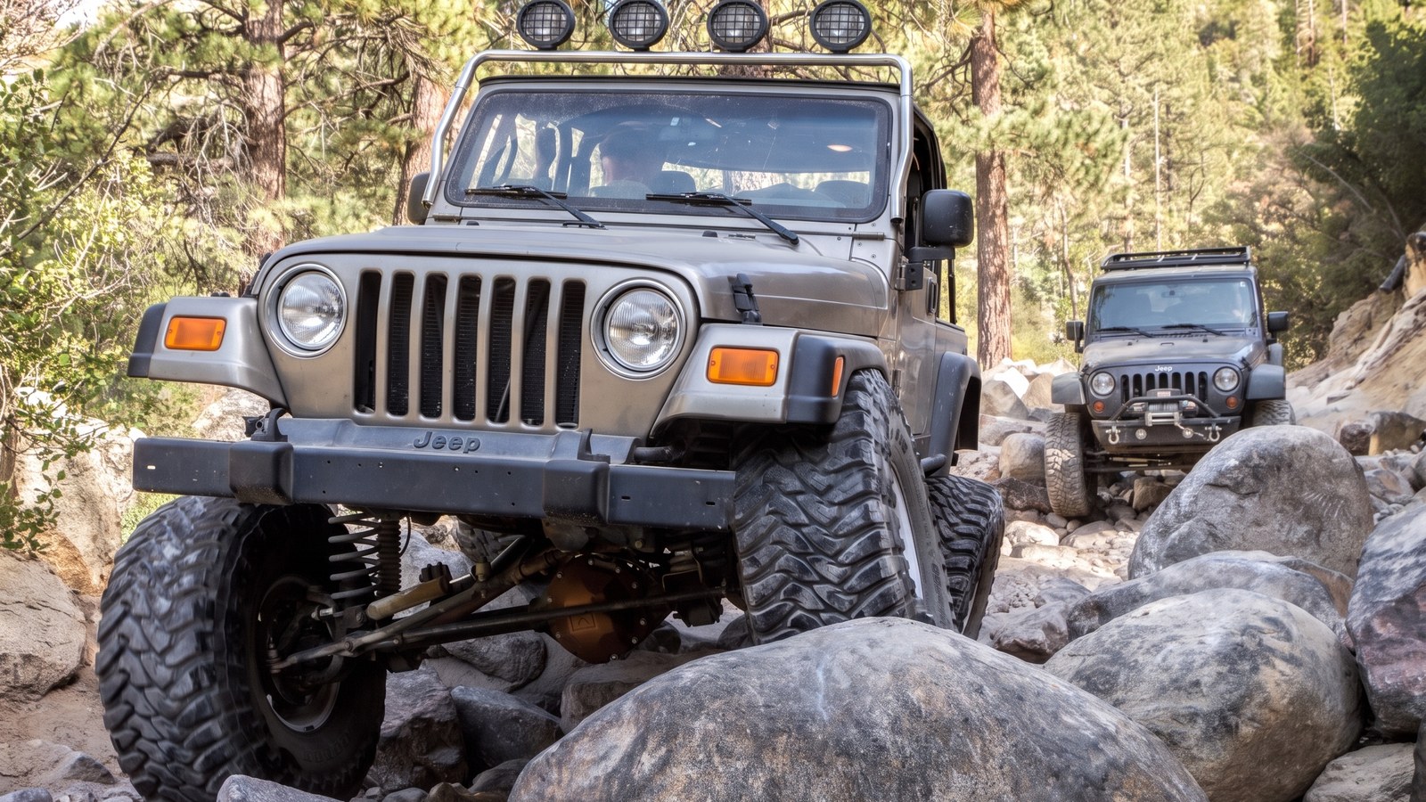
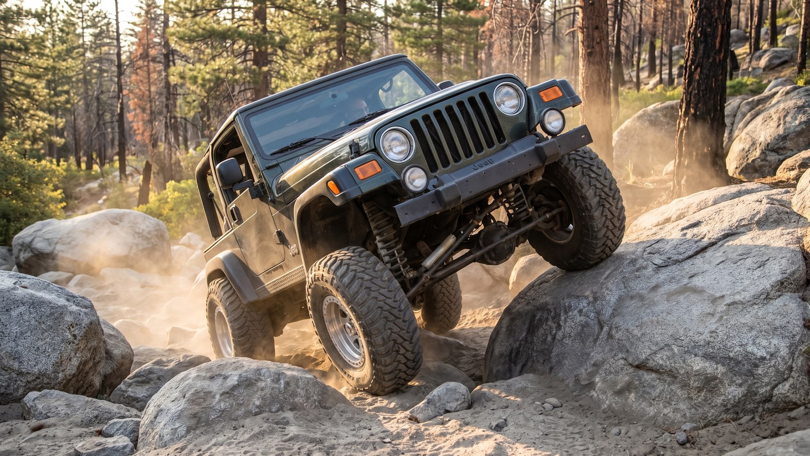
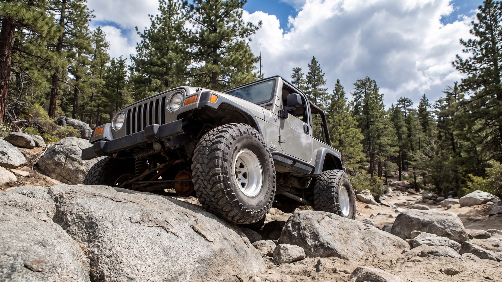
The first boulder field hits right at the west gatekeeper. This is a sustained rock garden of large granite boulders where the challenge is line choice, tire placement, and staying calm on off-camber rock. There is no single named monster here, just a long stretch of technical crawling where a spotter earns their keep. Expect to use lockers, expect to flex, and expect at least one moment where you set a tire exactly where the spotter points or you do not make it.
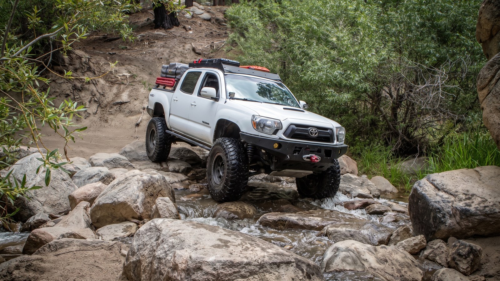
Between the rock gardens you get relief. The middle of Holcomb Creek mellows into sandy, forested two-track with the creek crossings mixed in. The water crossings are usually shallow, sometimes barely a trickle in the dry years the region has seen, but they can run a couple of feet deep and genuinely fun after a wet winter. The catch is what wet tires do to you afterward: rubber that just came out of the creek has no bite on the next granite ledge, so the crossings quietly bump up the difficulty of the rock right past them.
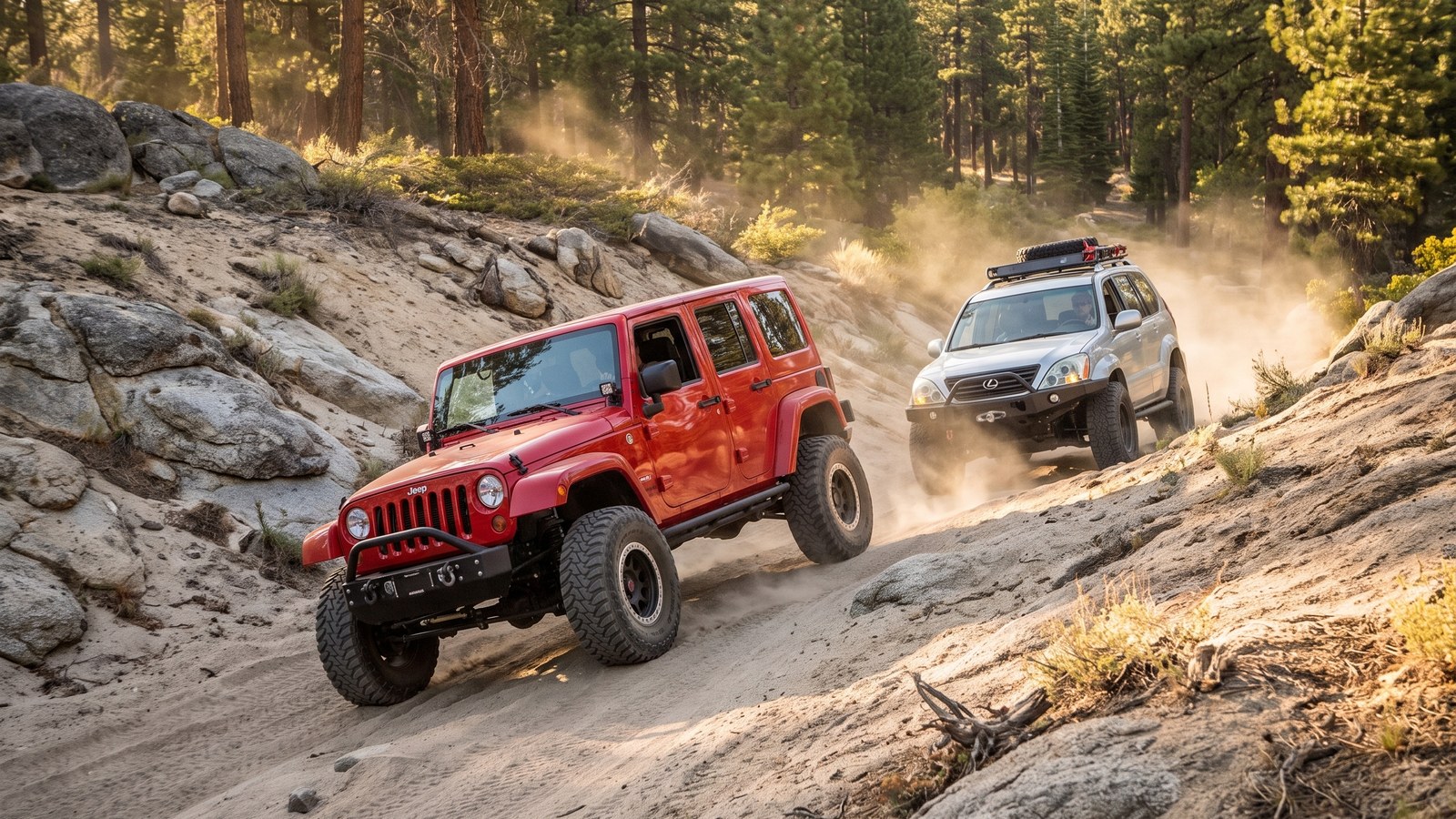
The middle also throws in some steep, powdery, off-camber sand climbs. These are their own kind of tricky. The sand is loose decomposed granite that robs traction, the pitch is steep, and the off-camber angle makes a top-heavy rig feel tippy. Momentum and a smooth throttle beat brute force here.
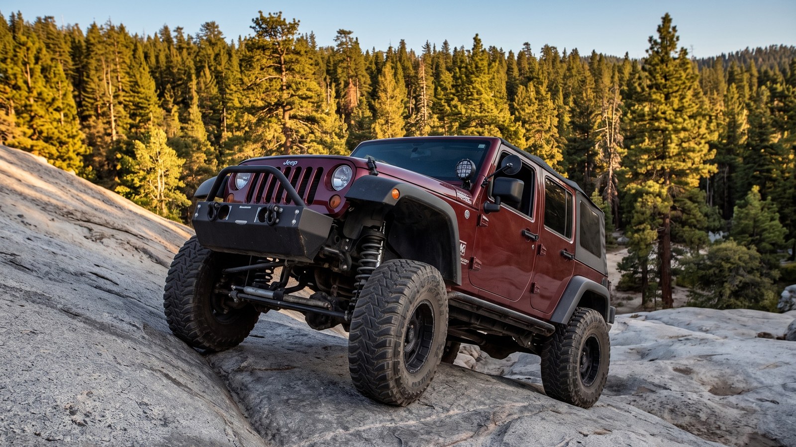
Roughly midway sits the trail’s bonus feature: a free play area with a big granite slab that people line up to try. The favorite is an extra-credit line that climbs a nearly vertical slab of rock, where four-door rigs with a longer wheelbase have a real advantage over short-wheelbase Jeeps. It is optional, it is a great spot to watch and be watched, and it is entirely reasonable to skip the hard line and take an easier one across the same area. The play-area vicinity sits near 34.2750, -117.0248 if you want to find it on a map.
Then the second boulder field guards the east end, mirroring the west with its own gatekeeper. Same rules apply: technical, tippy, and unforgiving of a bad line. This is where a tired driver near the end of the day tends to make the mistake that requires a strap or a winch, so keep your head in it right to the last rock.
The rig you actually need
Let us be blunt, because the trail is. Holcomb Creek is a black-diamond, most-difficult trail, and stock vehicles are not recommended. People do sometimes sneak a capable stock rig through going downhill, but that is not the plan you should build around.
Here is the honest minimum. You want at least 33-inch tires, real high ground clearance, and at minimum a rear locker, with front and rear lockers strongly preferred for the boulder fields. Skid plates and rocker protection are not optional insurance here, they are the difference between a scrape and a repair bill. A winch is highly recommended, and a good spotter is worth more than any single piece of gear on the rock gardens. Vehicle damage is a real possibility on this trail even when you do everything right, so go in expecting to work for it.
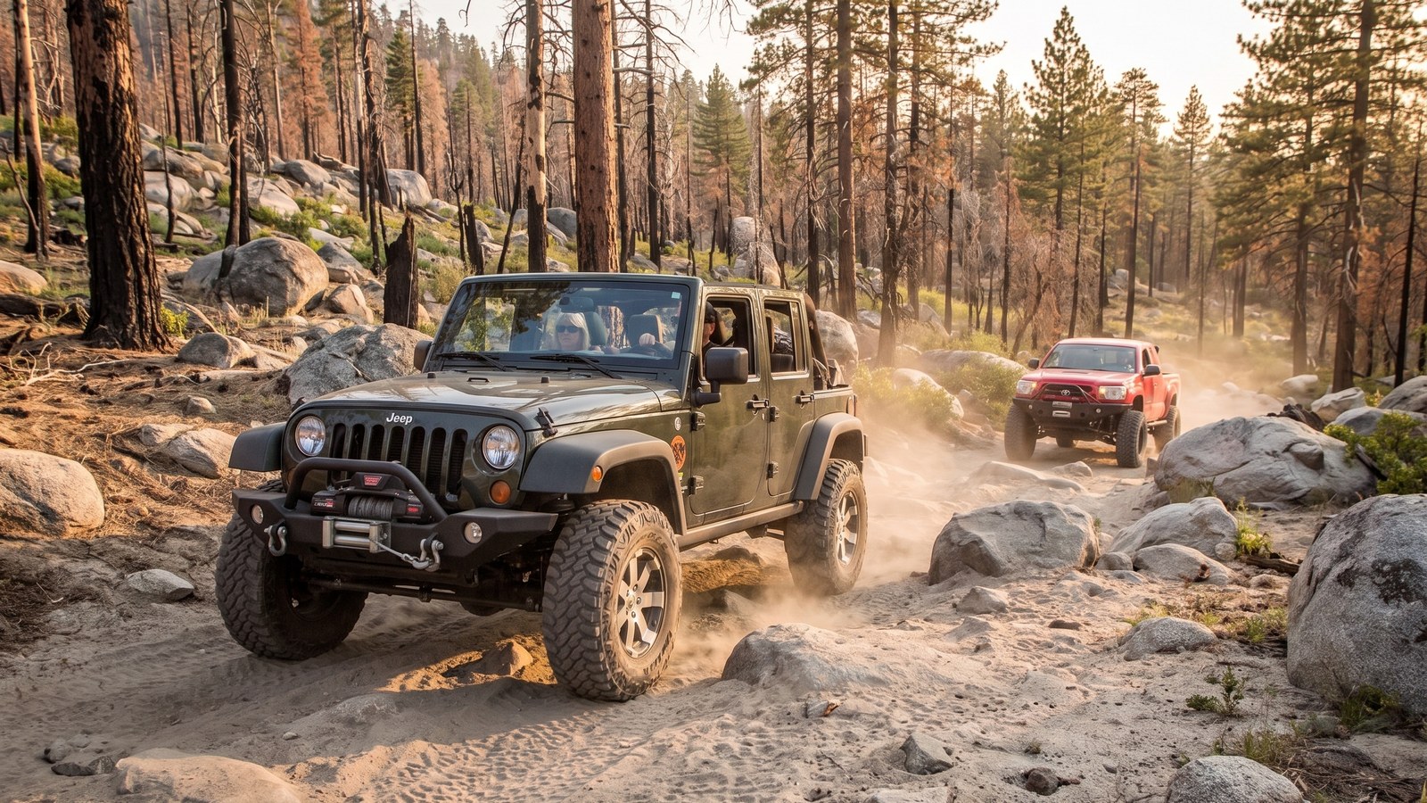
Two more things the trail rewards. First, wheelbase matters at the play area and in a few tight boulder lines, so know your rig’s strengths and pick your lines accordingly. Second, and most important, do not run this one alone. The strong, repeated advice from people who know Holcomb Creek is to bring a second vehicle. A recovery point, a strap, and a winch anchor on the rig behind you turn a stuck-in-the-middle nightmare into a ten-minute delay.

Permits, fees, and the rules
Holcomb Creek is on San Bernardino National Forest land, and the key requirement is a National Forest Adventure Pass if you stop to recreate in the area. It is inexpensive and available at the Big Bear Discovery Center and many local vendors. The Forest Service manages this ground, and the Big Bear Discovery Center at (909) 382-2790 is your best contact for current trail status, seasonal closures, and conditions.
Beyond the pass, the rules here are about keeping a hard-won trail open. This is a green-sticker-free route, meaning it is for street-legal, registered vehicles, not green-sticker off-highway-only machines. Stay on the established line and resist the urge to build a bypass around an obstacle you cannot clear. Those bypasses are exactly what the maintaining club tears out, because they erode the trail’s character and its legal standing. Do not stack rocks. Pack out everything you bring in. If you cannot make an obstacle, take the honest easier line where one exists or turn around, rather than carving a new path through the forest.
Best season and the snow window
Run Holcomb Creek from roughly May through November. The trail lives between 5,600 and 6,500 feet, high enough that winter brings snow and ice that can turn the rock gardens treacherous or shut the route down entirely. Late spring through early fall is the sweet spot, with the shoulder months quieter and cooler.
Water is the other seasonal variable. After a wet winter or spring, the creek crossings run deeper and the whole trail is more fun, but the wet rock also ratchets up the difficulty. In the drought years the region has cycled through, the crossings can be an afterthought. Check conditions before you go, especially in spring when snowmelt is still feeding the creek, and always factor in what wet tires will do to your traction on the granite immediately after a crossing.
Keeping Holcomb Creek open
It is worth remembering how close this trail came to being lost. After the 2007 fire, Holcomb Creek was closed for years. It is open today because a volunteer club put in the hours to repair it and partnered with the Forest Service to bring it back, and because they keep maintaining it now. Trails like this do not stay open on their own.
So run it right. Carry your Adventure Pass. Stay on the line, skip the illegal bypasses, and leave the gatekeepers as hard as you found them. Pack out your trash and anyone else’s you spot. Support the clubs and the Adopt-a-Trail programs that do the unglamorous work of keeping black-diamond trails legal and driveable. Holcomb Creek is one of the best hard trails in Southern California, a genuine mini Rubicon a short drive from the coast. It earned its Badge of Honor. Treat it like the privilege it is, bring the right rig and the right friends, and it will give you one of the best wheeling days Big Bear has to offer.