

Most people who make the drive to West Yellowstone are there for one reason, and it is the one with the geysers. They roll through town, point the rig at the West Entrance, and never once look north at the enormous blue reservoir sitting right there off Highway 20. That reservoir is Hebgen Lake, and the gravel that runs along its shore is some of the easiest, prettiest, most underrated wheeling in the whole greater Yellowstone country. You can be on it fifteen minutes after you fill up in town.
We call this run the Hebgen Lake Big Sky Backroads. It is not one signed trail with a fancy kiosk. It is the shoreline Forest Service road system that laces the lake together: the wide, well graded Hebgen Lake Road, the campground spurs, and the one climb worth making, Contour Road, which lifts you fifteen hundred feet above the water to the highest view of the lake you can reach on four wheels. String them together and you get a relaxed half day of scenic driving, lakeside camping, and one legitimate mountain overlook, all on the Hebgen Lake Ranger District of the Custer Gallatin National Forest.
What This Trail Actually Is
Hebgen Lake is a big water. The Hebgen Dam went in back in 1915, and when it was finished the reservoir it created was the seventh largest in the world. It covers about 6,500 acres, runs just under 16 miles long, and is roughly 4 miles across at its widest. It sits at around 6,500 feet in a broad basin ringed by the Madison Range and the Gallatin high country, about 20 minutes west of West Yellowstone. That is the stage. The trail is the ribbon of Forest Service road that hugs the western and southern shore.
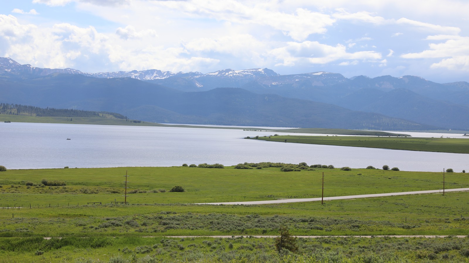 Hebgen Lake sits in a broad basin ringed by the Madison Range, with the shoreline road tracing its edge. Photo: Forest Service - Northern Region (public domain).
The main line, the piece onX Offroad has cataloged as the Hebgen Lake Trail, runs about 8.6 miles as a wide, well maintained gravel and dirt road. It is not technical. There is no rock to crawl, no ledge to spot, no line to pick. What you get instead is a smooth graded surface with the occasional stretch of bumpy washboard, running mostly through lodgepole pine forest a little above the water, with the lake flashing through the trees and opening up wide at the campgrounds and day use areas. The road starts near the Lonesomehurst area and ends at the Watkins Creek hiking trailhead, where there is a single dispersed campsite.
The reason we rate this run Moderate rather than Easy is the second half of the story. If you only ever ran the flat shoreline road, it would be an Easy scenic drive, plain and simple. But the whole reason to bring a capable rig up here is to add Contour Road, which branches off and climbs nearly 1,500 feet along the mountain’s contours over about six miles to end near the 7,900 foot mark. That climb, plus the rougher upper Hebgen Lake and Ennis Mountain roads that continue into the high country, is where four wheel drive and clearance start to matter, especially when the surface is wet. Take the lake road easy and the Contour climb seriously and you have got a genuine moderate day.
How to Get There and Where to Stage
Getting on this is about as simple as Montana wheeling gets. Start in West Yellowstone. Fuel up, grab water and ice, and use the restroom, because services drop to zero once you leave the highway. From town, head west on US Highway 20 for about 8 miles, then turn north onto Hebgen Lake Road, which is also signed as Denny Creek Road and carries the Forest Service number 167. That turn is your gateway to the whole system.
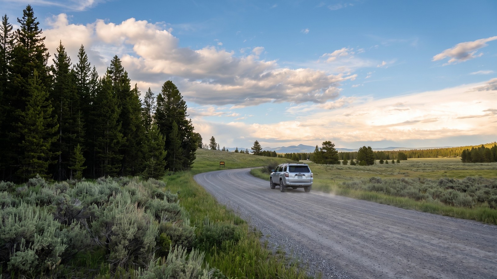 Hebgen Lake Road (FS 167) is wide, graded, and welcoming, the kind of road that gets you off the pavement in minutes.
A few miles north on FS 167 brings you to Lonesomehurst Campground, sitting right on the bank of the lake with a boat launch and a couple of docks. This is the natural staging point and where we set the trailhead. From here the road continues along the shore, past dispersed sites and day use pullouts, all the way to the Watkins Creek trailhead. Cherry Creek Campground is another access option a bit further along, reached by continuing north on FS 167 roughly 6 miles from the highway. Any of these make a good jumping off point. There is no gate, no permit booth, and no fee to simply drive the road. You only pay if you camp in a developed campground.
The Run Along the Shore
The shoreline miles are pure cruising. The road stays wide and graded, rolling through lodgepole forest with grassy verges and the occasional open meadow. You spend most of the drive just above the lake and back in the trees, then the forest breaks open at each campground and day use area and the whole lake lays out in front of you. Those openings, at Lonesomehurst, at the picnic areas, at the dispersed pullouts, are where you stop, get out, and take in the water.
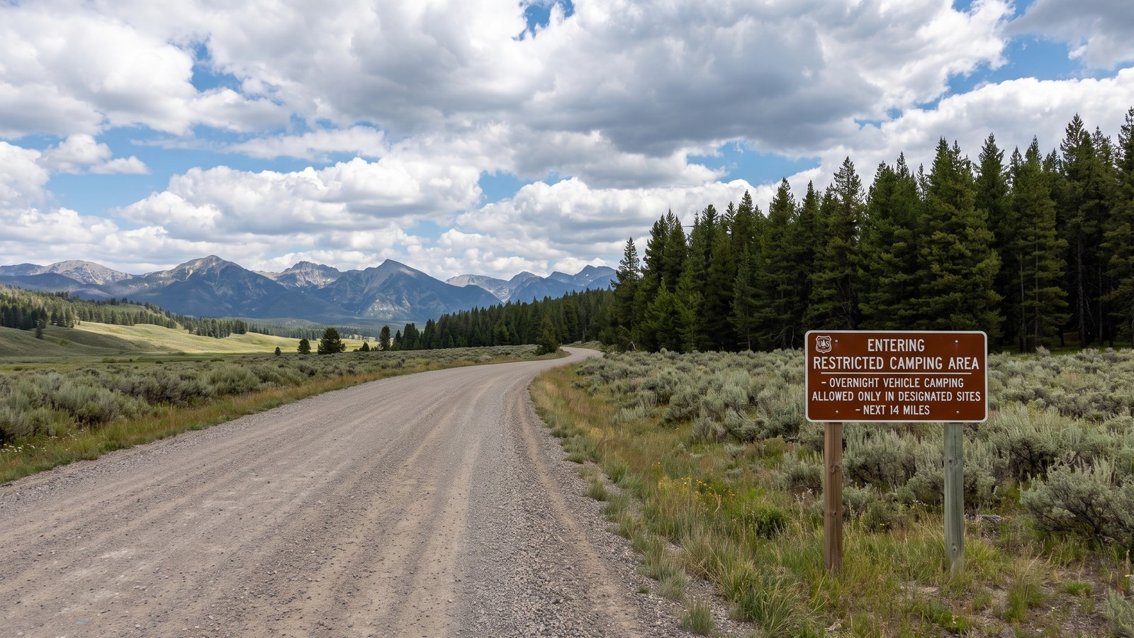 The Forest Service sign says it plainly: overnight camping only in designated sites for the next 14 miles. Read the rules and follow them.
Pay attention to the signage. Much of this shoreline is a restricted camping area where overnight vehicle camping is allowed only in designated sites, and the signs spell out exactly where those boundaries begin and end. There is legitimate dispersed camping along the way, out at Rambaugh Ridge about halfway down and near the end at Spring Creek, but the Spring Creek access in particular gets rutted and muddy and is not somewhere you want to be in a low rig after rain. If you are just there to drive and picnic, the developed campgrounds and day use areas give you the best lake access anyway.
The lake itself is the main event out here. It is a serious fishery, a boating and paddling water, and a place people have been coming to relax for a century. One honest heads up from the people who run it: the mosquitoes at Hebgen can be ferocious, especially early summer and near the water in the evening. Bring the spray you would bring for a backcountry camp, not the travel size.
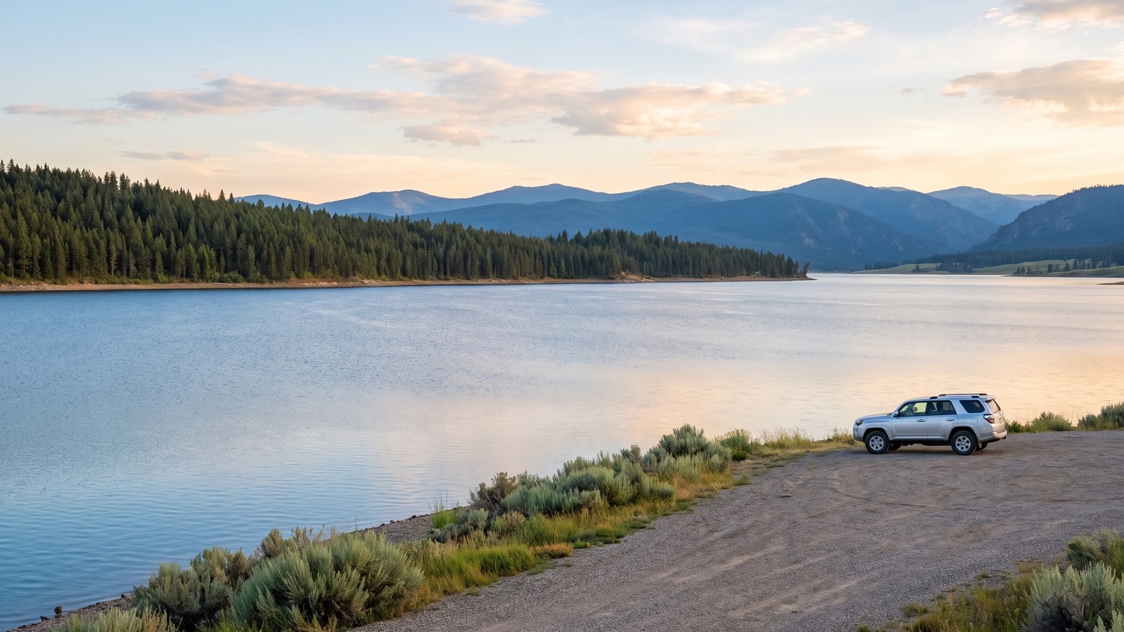 A quiet lakeside pullout at last light. This is why you come: big water, big sky, and a rig parked at the edge of it.
The main road ends at the Watkins Creek trailhead, where there is one dispersed campsite and the pavement of the day, so to speak, gives way to a hiking trail. That is the natural turnaround for the shoreline run, and on its own it makes a fine, low key out and back.
Contour Road: The Climb Worth Making
Here is where you earn the Moderate rating and the best photo of the trip. Contour Road does exactly what its name says. It climbs steadily along the contours of the mountainside above the lake, gaining close to 1,500 feet over roughly six miles, and tops out near 7,900 feet. That summit is the highest vantage point over Hebgen Lake that you can reach in a vehicle, and it is a genuine jaw dropper: the entire reservoir spread out below you, the Madison Range stacked behind it, and Big Sky country running to the horizon in every direction.
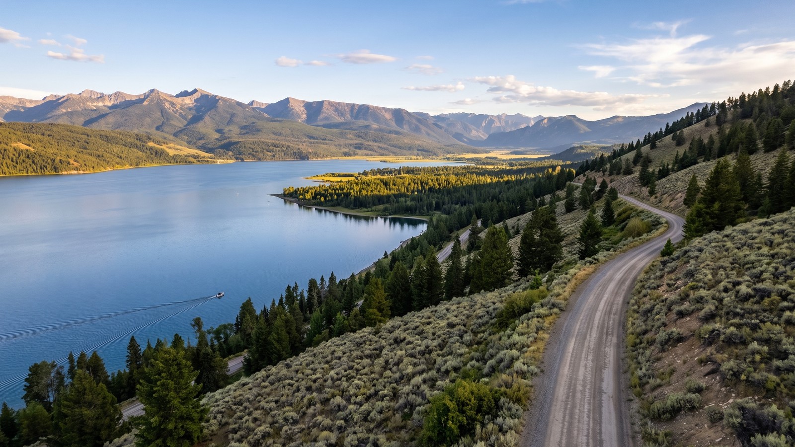 Contour Road climbs 1,500 feet above the water to the highest drivable view of the lake. On a clear day it is the money shot of the whole run.
Contour Road is not heavily traveled, and that is part of its charm, but it also means you should not treat it like the shoreline cruise. The surface is rougher, the grade is real, and the exposure to weather is greater up high. This is the stretch where you want four wheel drive engaged and good tires under you, and it is the first place to close down when it gets wet or when snow lingers into early summer. If the weather looks unsettled, run the shoreline and save the climb for a bluebird day. When conditions are right, it is the best hour you will spend up here.
The Rig You Actually Need
Be honest about which piece you are running and you will be set up right. The shoreline Hebgen Lake Road is friendly to just about anything with decent ground clearance in dry weather. Plenty of stock crossovers and any high clearance vehicle handle it without drama. The road is graded, the grades are gentle, and the only real annoyance is washboard.
The Contour Road climb and the rougher upper roads are a different conversation. Here are the honest minimums for the full run:
- Four wheel drive, strongly advised for Contour Road and mandatory thinking whenever the surface is wet.
- Real ground clearance. You do not need a lifted rig on 35s for the graded roads, but the upper climb and the muddy dispersed spurs reward clearance.
- All terrain tires in good shape. Bald highway tires on a wet clay grade are how people end up walking.
- Recovery basics: traction boards, a rated strap, and gloves. You probably will not need them on a dry day, but this is remote country where cell service is spotty.
- A full tank, real water, and bug spray. There are no services past West Yellowstone, and the mosquitoes are not a joke.
If you are towing or driving something long, the shoreline road is fine but be mindful of turnarounds and the tighter campground loops. Leave the big trailer at the RV park in town and run the backroads light.
Rules, Camping, and Pack Out
This whole system sits on the Custer Gallatin National Forest, Hebgen Lake Ranger District, so standard Forest Service rules apply and they matter. The single most important one on this shoreline is the designated camping restriction. For a long stretch of the lake, overnight vehicle camping is legal only in designated sites, and the brown signs tell you exactly where that zone starts and ends. Do not freelance a camp in the restricted area. Use the developed campgrounds, Lonesomehurst, Cherry Creek, Rainbow Point, and the others, or the specifically designated dispersed sites like Rambaugh Ridge and the Watkins Creek trailhead site.
The developed campgrounds are fee sites and many take reservations through Recreation.gov, so book ahead in summer, this is Yellowstone country and it fills. Standard Tread Lightly practice covers the rest: stay on the established road, pack out everything you pack in, do not cut new tracks or drive around puddles and widen the road, and follow all fire restrictions, which in a dry late summer can shut down campfires entirely.
One more serious note. This is grizzly and black bear country, full stop. You are on the doorstep of the greater Yellowstone ecosystem. Carry bear spray, keep an immaculate camp, store your food properly, and know how to behave around wildlife. The animals here are wild and abundant, and that is exactly the point.
Best Season and Weather Window
The workable season runs roughly late May through early December, with the shoulder ends dictated by snow and mud. The shoreline road opens up first and stays drivable longest. Contour Road and the upper high country hold snow later into spring and get shut down by it earlier in the fall, so the reliable window for the full run including the climb is roughly June through October.
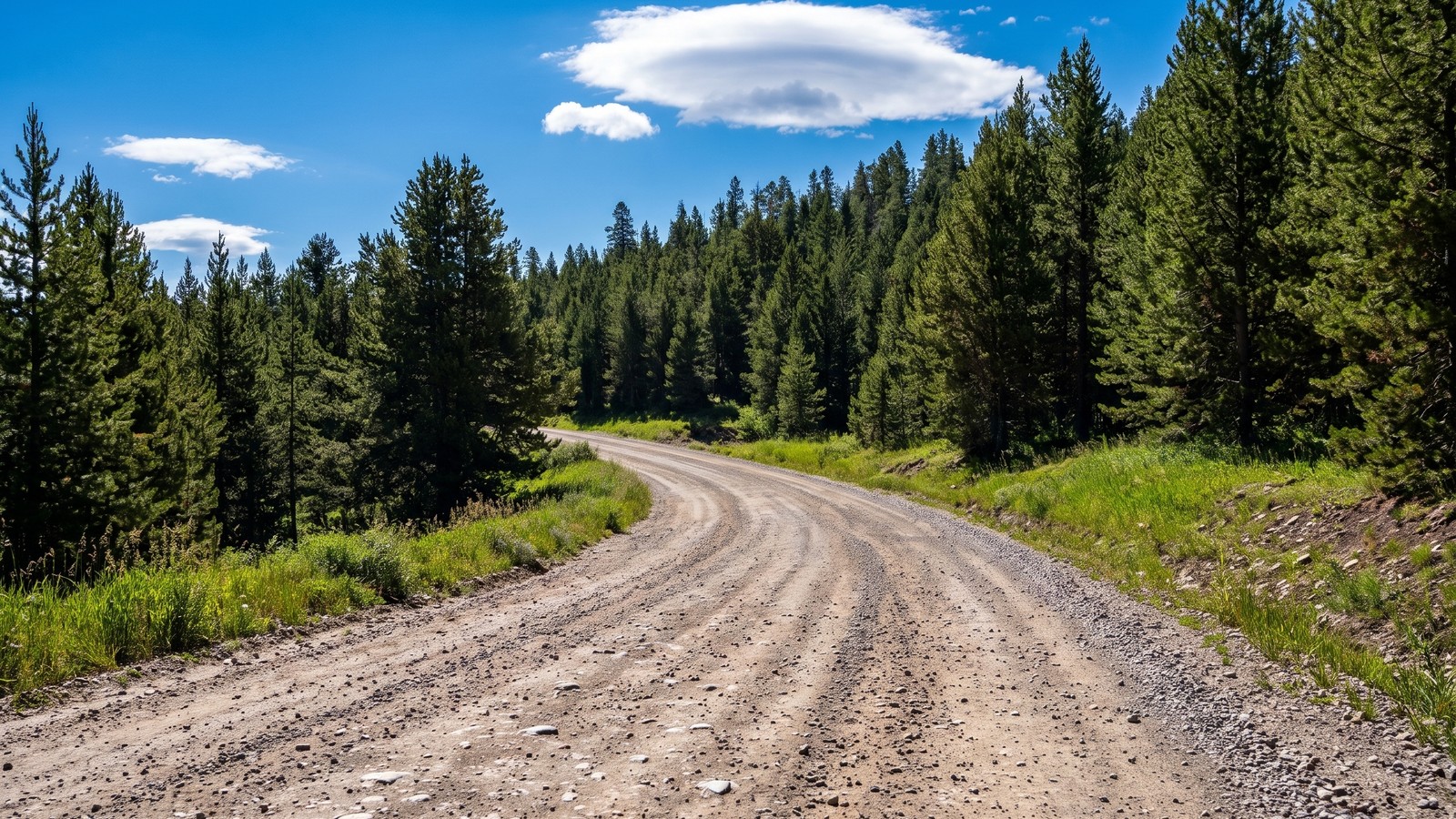 Mid summer is the sweet spot: dry roads, long light, and lodgepole forest at its greenest.
Mid summer is the sweet spot for easy driving and swimming weather, though it is also peak mosquito season and peak crowd season. Early fall may be the best time of all up here, when the crowds thin, the light goes gold, the aspen turn, and the elk start bugging in the surrounding hills. The big variable, as always in this country, is moisture. The graded shoreline road handles rain fine. The Contour climb and the dispersed spurs turn slick and rutted when wet, so if a storm is building or it rained overnight, give the high stuff time to dry or run the shoreline instead.
A Quiet Detour: Whits Lake
If you want to string a little more into the day, the Hebgen Lake Ranger District is threaded with smaller Forest Service roads worth poking down, and one of the prettier payoffs is the pair of small lakes up the Whits Lake road. It is a quieter, more intimate scene than the big reservoir: a small forest rimmed lake with conifers and aspen crowding the shore, the kind of spot you have to yourself on a weekday.
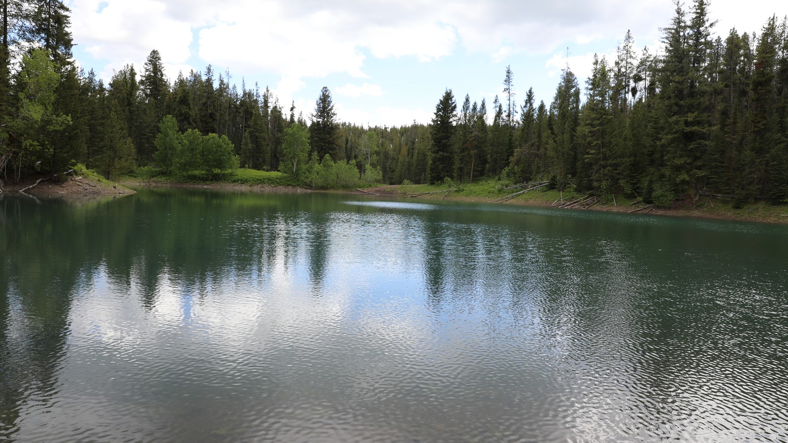 Whits Lake is a quieter counterpoint to the big reservoir, tucked back in the timber on the same ranger district. Photo: Forest Service - Northern Region (public domain).
Check current conditions and a good map like onX before you commit to any of the smaller spurs. Some are rougher and less maintained than the main shoreline road, and a few dead end or get boggy. That is half the fun of a ranger district like this one, there is always another road to explore.
Why It Is Worth Your Time
The Hebgen Lake Big Sky Backroads will not test your nerve or beat up your rig. What this run does is hand you a big, beautiful chunk of Montana that the Yellowstone crowds drive straight past. You get a 16 mile reservoir with the Madison Range behind it, easy shoreline cruising with the lake winking through the pines, real lakeside camping, and one honest mountain climb up Contour Road to the best drivable view for miles. Run the shoreline slow, save the climb for a clear day, respect the camping rules and the bears, and you will understand why the locals never bother telling the tourists about it. Some of the best days out here are the low key ones, spent on a gravel road most people never turn onto.

Hero photo: Forest Service - Northern Region (public domain)