

The Moab Rim Trail does not waste any time. From the parking lot on Kane Creek Boulevard you are staring up at a tilted wall of Kayenta sandstone, and within the first few hundred feet you are climbing it. There is no warm-up, no easy mile to settle in. You point the rig uphill, drop into low range, and start picking your way up a series of slickrock steps that go from intimidating to genuinely serious. For a trail that is barely a mile and a half to the main viewpoint, it packs in more pucker per yard than almost anything else in Moab.
This is a short trail with a big reputation, and it earns it. The reward at the top is a panoramic view over the Moab Valley, the Colorado River, the entrance to Arches, and the snowcapped La Sal Mountains beyond. But getting there means committing to a steep, ledgy, off-camber climb on bare rock with real exposure. It is the kind of trail people remember for years, for the right and the wrong reasons.
What the Moab Rim Trail actually is
The Moab Rim Trail is a Bureau of Land Management route that climbs the cliff rim on the southwest side of Moab, right off Kane Creek Boulevard along the Colorado River. The whole thing sits on BLM land, and there is no fee to run it. From the parking area, the four-wheel-drive route heads straight up the slickrock ramps of Kayenta sandstone, and after about 1.4 miles it reaches the viewpoint over the Moab Valley.
If you want more, the route keeps going. Past the main overlook it drops south through a slickrock area between two big Navajo sandstone domes, runs along a wash bottom, climbs a large sand hill, and continues toward the pass below Hidden Valley. Strong hikers and ambitious drivers can link it with the Hidden Valley Trail to make a longer loop. Most wheelers, though, treat the climb to the rim and back as the main event, because that climb is where all the difficulty lives.
One thing to know going in: this is a shared-use trail. You will run into hikers, mountain bikers, dirt bikes, and other rigs, sometimes all on the same narrow stretch of slickrock. The trail is popular with the hiking and biking crowd precisely because the views are so good, so drive like you expect to meet someone around every blind crest, because you will.
The climb, the steps, and the famous obstacles
The defining feature of Moab Rim is the grade. The first mile averages around a 20 percent slope, and you are climbing it on a series of sandstone steps and ledges set into an already tilted cliff face. None of the individual obstacles would be that scary on flat ground. Stack them onto a steep, off-camber rim with a drop-off beside you, and even experienced wheelers get their attention fully captured.
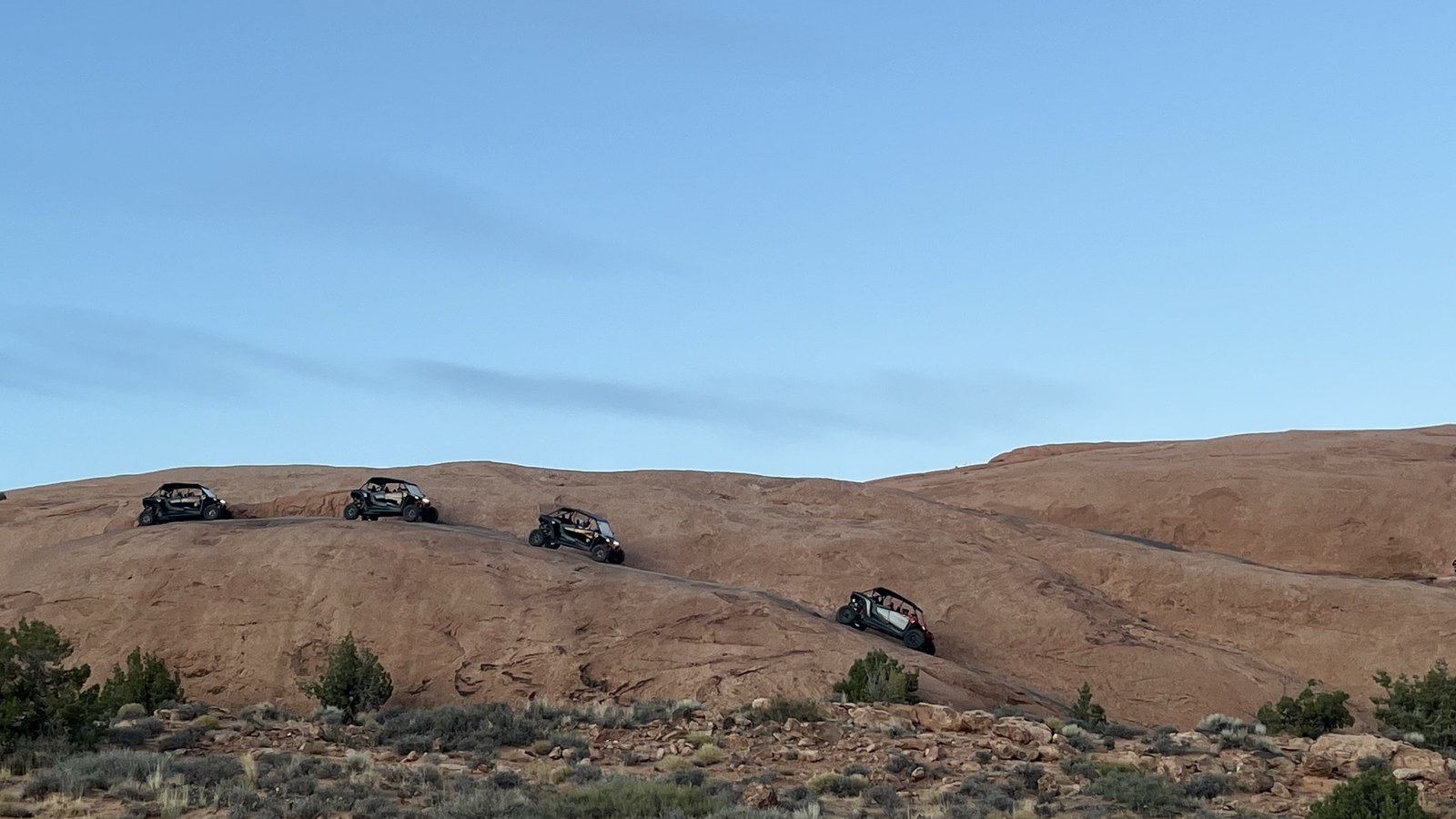 Photo: BLM Utah, via Wikimedia Commons (Public domain). Moab-area slickrock, illustrative of the terrain.
Two obstacles get talked about the most. The first is Devil’s Crack, where you have to make a tricky turn up onto a ledge to avoid dropping a wheel into the crack beyond it. Get the line wrong and you are stuffing a tire into a slot that is hard to get back out of. The second is the Z-Turn, a pair of turns over irregular, off-camber rocks and ledges that demands precise wheel placement and a spotter you trust. Up top, there is an optional slickrock dome with a climb that runs around an 85 percent grade, which is exactly as steep as it sounds and strictly for those who know what their rig and their nerves can handle.
Difficulty: how hard is it, really
Here is the honest read on difficulty, because you will see this trail rated all over the map. onX Offroad gives it a technical rating of 7 out of 10 and calls it difficult. Plenty of Moab veterans and trail guides treat it as harder than that, a true expert-level trail, because of the combination of sustained steep grade, off-camber slickrock, exposure, and obstacles like Devil’s Crack that punish a bad line. We rate it extreme, and we stand by that. This is not a trail to cut your teeth on.
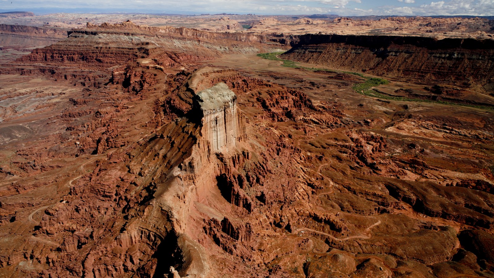 Photo: BLM Utah, via Wikimedia Commons (Public domain). Moab-area red rock terrain.
What makes it extreme is not a single huge obstacle you can study on YouTube and psych yourself up for. It is the relentlessness. You are working hard from the first hundred feet, the rock is steep and slick, and a mistake on the wrong ledge has consequences because of the exposure. If you are newer to slickrock and you want a taste of Moab before you commit to this, run Hell’s Revenge or Fins and Things first and build up to the Rim. There is no shame in that. There is a lot of shame in getting in over your head on a cliff edge.
The rig you actually need
This is a built-rig trail, plain and simple. You want real four-wheel-drive with low range, good ground clearance, aggressive tires, and ideally lockers front or rear to keep power going to the wheels on those steep slickrock steps. A bone-stock vehicle on street tires has no business attempting the climb, and you will see the scrape marks on the rock where people learned that the hard way.
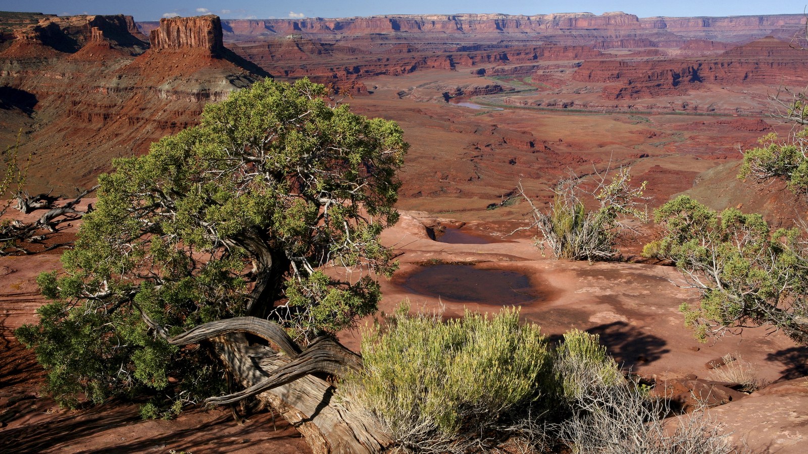 Photo: BLM (mypubliclands), via Wikimedia Commons (Public domain). Moab-area slickrock.
Bring recovery gear and know how to use it, because if you get stuck on this trail it is on bare rock with limited room to work. A capable spotter is not optional on the harder ledges. The grippy Navajo and Kayenta sandstone is your friend, which is why slickrock got its ironic name. It is actually some of the highest-traction natural surface you will ever drive on when it is dry. When it is wet, that changes fast, which brings us to timing.
When to go
Spring and fall are the seasons for Moab Rim, the same as most of the slickrock trails around town. The temperatures are comfortable, the light on the red rock is gorgeous, and the rock is dry and grippy. Summer in Moab is brutal, with surface temperatures on the bare slickrock soaring and zero shade on the climb. If you must go in summer, go at first light and carry far more water than you think you need.
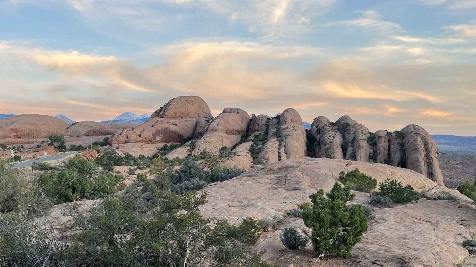 Photo: BLM Utah, via Wikimedia Commons (Public domain). Moab slickrock domes.
Avoid the trail when it is wet. Slickrock earns its grip from being dry, and rain or snowmelt turns those steep sandstone steps treacherous. After a storm, give it time to dry out. Winter runs are possible on a clear, dry, cold day, but ice on the shaded ledges is a real hazard, so check conditions and use your judgment. The single best window is a dry stretch in April, May, September, or October.
Tread lightly and keep it open
Moab Rim sits on heavily used public land right next to a town that lives and breathes off-road tourism, which means it is watched closely. The BLM asks every visitor to leave the place nicer than they found it, pick up any litter you come across, and stay precisely on the established route. Slickrock looks indestructible, but the cryptobiotic soil crusts in the sandy stretches between the rock take decades to recover from a single tire track, so do not cut corners or make your own line.
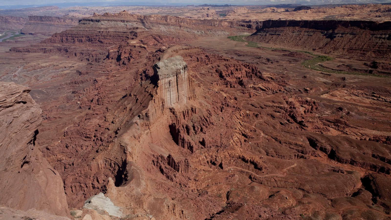 Photo: BLM Utah, via Wikimedia Commons (Public domain). Moab-area canyon country.
Because this is a shared-use trail, yield to hikers and bikers, keep your speed and noise down around them, and be patient at the obstacles when there is a line of rigs waiting. Moab’s trails stay open because the off-road community polices itself and respects the other people out there. Run the Rim with that mindset, earn the view at the top, and you will understand why this short, savage little climb has been on Moab bucket lists for decades.

Hero photo: U.S. Geological Survey, via Wikimedia Commons (Public domain)