

There are a hundred places around Moab that will make you feel like you are standing on the roof of the world. There is exactly one with the name to back it up. Top of the World is a cliff-edge viewpoint perched on the southern rim of Waring Mesa, east of town and just south of where the old Dewey Bridge used to cross the Colorado River. You drive up a long climb of broken layered rock, the ledges getting taller and meaner the higher you go, and then the mesa just ends. The ground drops away something like 3,000 feet into Fisher Valley, with Onion Creek threading the basin below and the La Sal Mountains stacked up behind it. People back their rigs toward that edge for the photo, and the photo never quite does it justice.
Here is the part that trips people up: the name and the famous view make it sound like a scenic Sunday drive. It is not. The approach is mellow and then the trail turns into a real four-wheeling climb with stair-step ledges that have eaten rack-and-pinions, sidewalls, and skid plates off rigs that showed up under-built. This is the honest version of what Top of the World is, how you get on it, what the climb actually throws at you, and the rig and the head you need to come back down with your truck still driving.
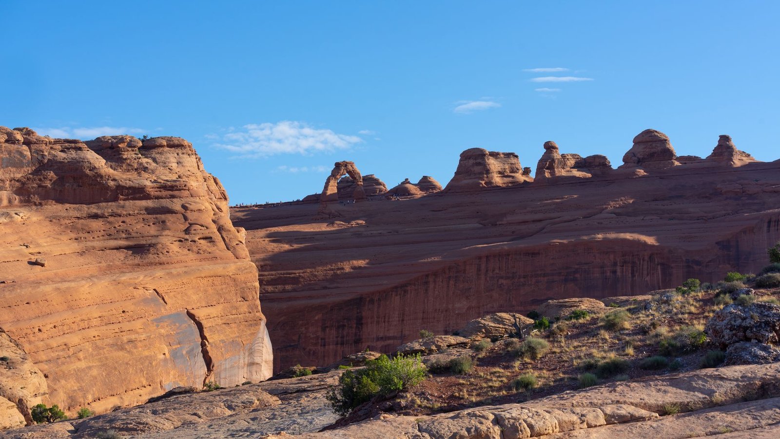 Photo: Drew Burks / Pexels
What Top of the World actually is
Top of the World is an out-and-back four-wheel-drive route that climbs from Highway 128 near the Dewey Bridge area up onto Waring Mesa to a cliff-edge overlook. The viewpoint is the whole point of the trip, and it earns it. From the rim you get a true 360-degree look: Fisher Valley and Onion Creek directly below, the snow-streaked La Sal Mountains to the south, Fisher Towers off toward the river, the Book Cliffs to the north, and the back side of Arches National Park and the Uncompahgre Plateau on the horizon. It is one of the highest, most dramatic overlooks you can reach by vehicle anywhere near Moab.
The mesa is named for Jim Waring, a cattle rancher who brought stock to this country around the Dewey Bridge back in the 1880s. The trail itself uses an old ranching and mining two-track that long predates recreation traffic. That history is part of why the route exists at all: it was a working road before it was a bucket-list drive.
What makes it special as a drive is the variety. You start on smooth graded county road through glowing Entrada sandstone, then climb into rougher two-track, then onto broken slickrock and stair-step ledges, then out onto exposed rock with views opening up in every direction. The trail genuinely never feels repetitive, and the payoff at the end is one of the best in Utah.
Getting there and the Entrada Bluffs approach
Access is easy to find, which is part of why so many under-built rigs end up parked at the bottom of a ledge they cannot climb. From Moab, head northeast on Highway 128 along the Colorado River toward the Dewey Bridge area. Just before you would cross the river, turn right (east) onto the gravel road. This is the Entrada Bluffs Road, the start of the approach.
The first stretch is a maintained county road that is usually smooth and easy in dry weather, and it is beautiful in its own right. You are running the base of a long wall of Entrada sandstone, those smooth, rounded, light-pink cliffs that you do not see exposed in many other parts of the Moab area. Take your time through here. The colors are spectacular and this is the calm before the trail gets serious.
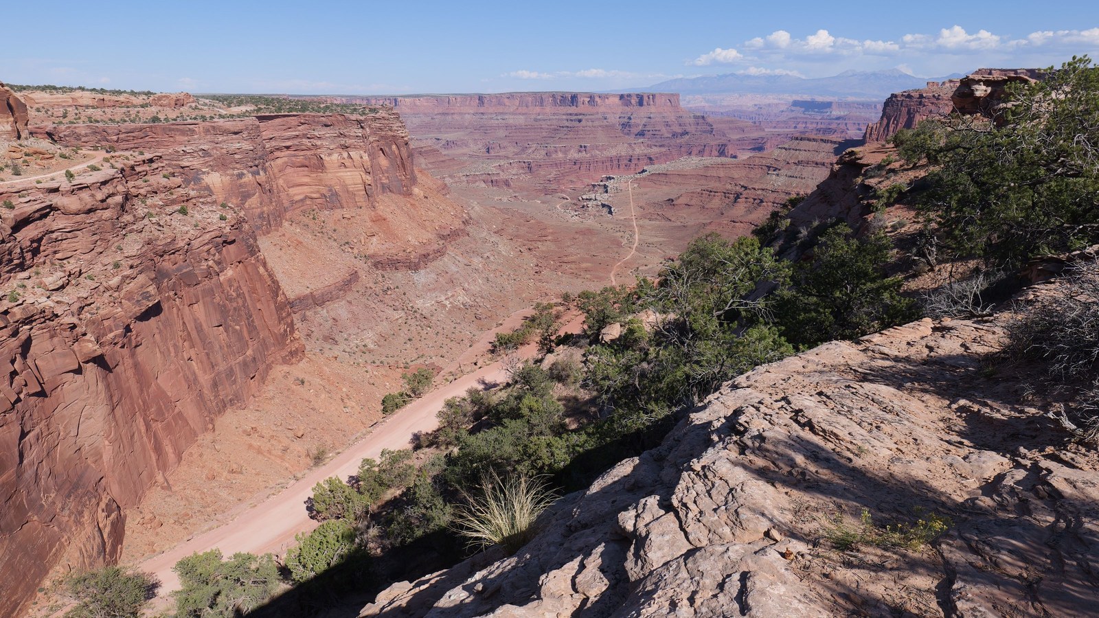 Photo: Ambient Vista / Pexels
After a few miles the road forks, and a split to the right takes you onto the official Top of the World trail. There is usually a sign at this junction, but signs come and go out here, so run a GPS track and know where the turn is. This is the point where the easy part ends and the four-wheeling begins. Air down before you commit to the climb. Staging room near the trail entrance is limited, so be courteous, pull off, and do not block the access roads while your group sorts itself out.
The climb, in order
The structure of Top of the World is simple to describe and harder to drive: it starts easy and gets progressively meaner as you climb toward the rim, with the worst of it saved for the last couple of miles. Drivers consistently report the first seven or eight miles going by without much trouble, and then the final stretch demanding real work.
The graded climb off Entrada Bluffs. The county road does a lot of the elevation gain for you, climbing a fair portion of the altitude up toward the mesa before the trail ever departs from it. This is the friendly part. Enjoy it.
Where the two-track breaks down. Once the route leaves the graded road, the surface turns to broken layered rock, loose stone, and the first real ledges. Tire placement starts to matter. Low range earns its keep from here up.
The stair-step ledges. This is the heart of the trail. As you climb, you hit repeated rock ledges in the roughly 12-to-24-inch range, with some bigger steps mixed in, often with two or three line options depending on how your rig is built. Many of the larger ledges have a bypass tracked around them, but not all, and the bypasses are not always easy either. The rock is sharp and the climbs are frequently off-camber, which is what gets in a driver’s head out here.
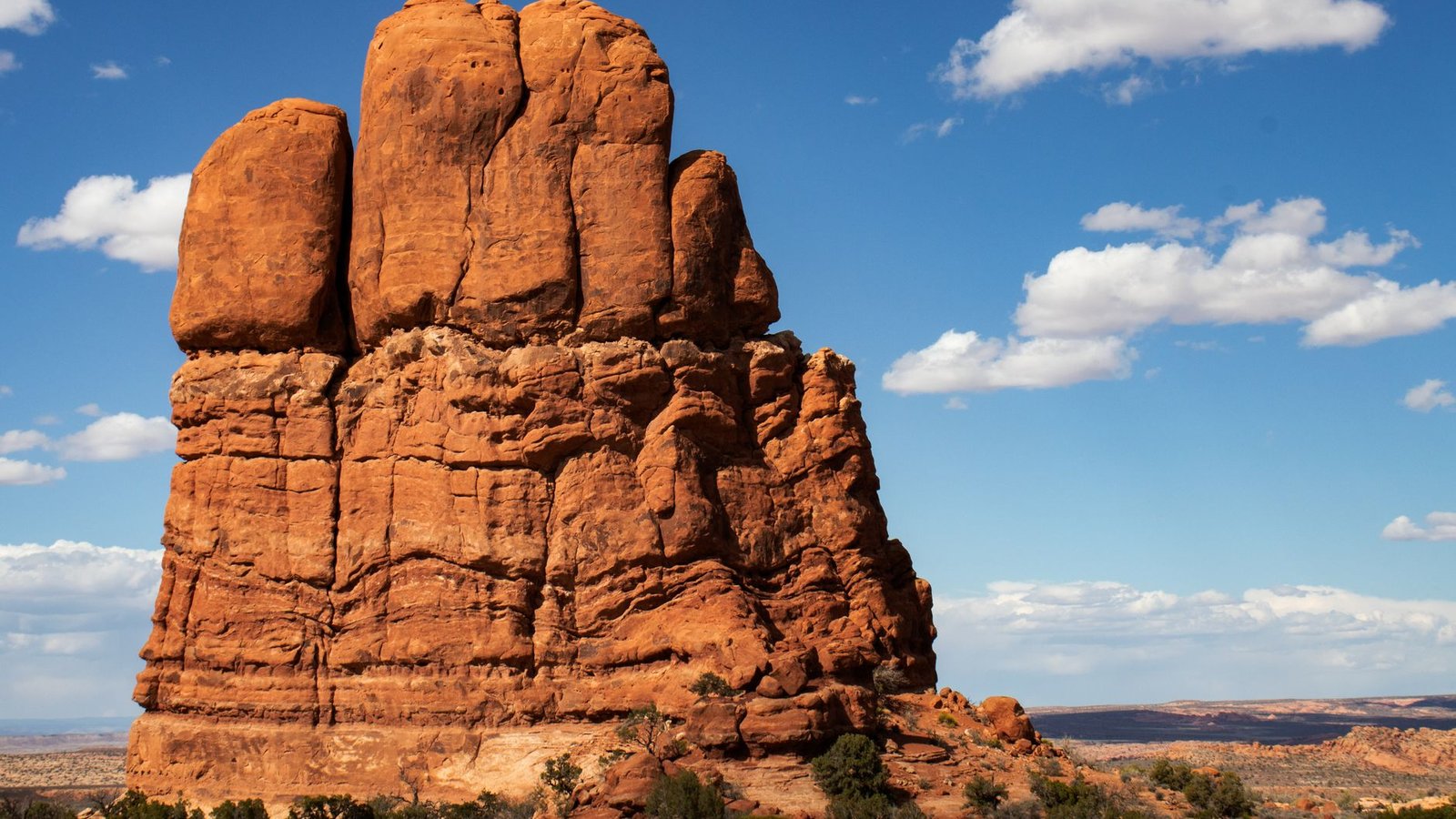 Photo: Anthony Gomez / Pexels
The big step near the top. Roughly three-quarters of the way up the primary line there is a notably tall ledge, reported by drivers as somewhere around or just under 30 inches, that can stop your progress if you do not pick the right line. There is generally a bypass, but know it is there before you arrive, because backing down a stack of ledges is no fun.
The loop, and why most people skip it. Near the top the route connects to a loop. Take the trail straight up to the viewpoint and back down the way you came and you have done the classic Top of the World. The other half of that top loop, the east or northeast side, is a different animal. Driver after driver describes it as the hard part of the trail, a sustained, slow, get-out-and-spot grind that took some groups longer than the entire drive up from the highway, with cosmetic damage common. Unless your group is built for it and wants it, go up and back down the main line and leave the loop alone.
A real note on the descent: coming back down is often harder than going up, because you cannot see over the ledges to pick your line the way you can on the climb. Plan to get out and spot a lot on the way down. People who skip that step are the ones who slam a rocker or a gas-tank skid on a drop they could not see.
The view at the top
When the mesa finally opens up to the rim, it is worth every ledge. The overlook sits on a cliff edge above Fisher Valley, with Onion Creek’s narrow canyon winding through the basin far below and the La Sal Mountains rising behind it, often holding snow well into the season. Swing your eyes around and you pick up Fisher Towers, the Book Cliffs, the back of Arches, and distant plains. It is a genuine 360.
Two things to respect up here. First, the exposure is real. That is a drop of roughly 3,000 feet off the rim, and people stage their rigs near the edge for photos. Near, not at. Spot anyone backing up, and do not trust loose rock or a parking brake alone. Second, the wind. Air gets forced up out of the valley and over the rim, and it can hit hard enough to push you around at the very edge, which is exactly the wrong place to get shoved. Cell service is spotty along the route but tends to be decent right at the overlook, for what that is worth.
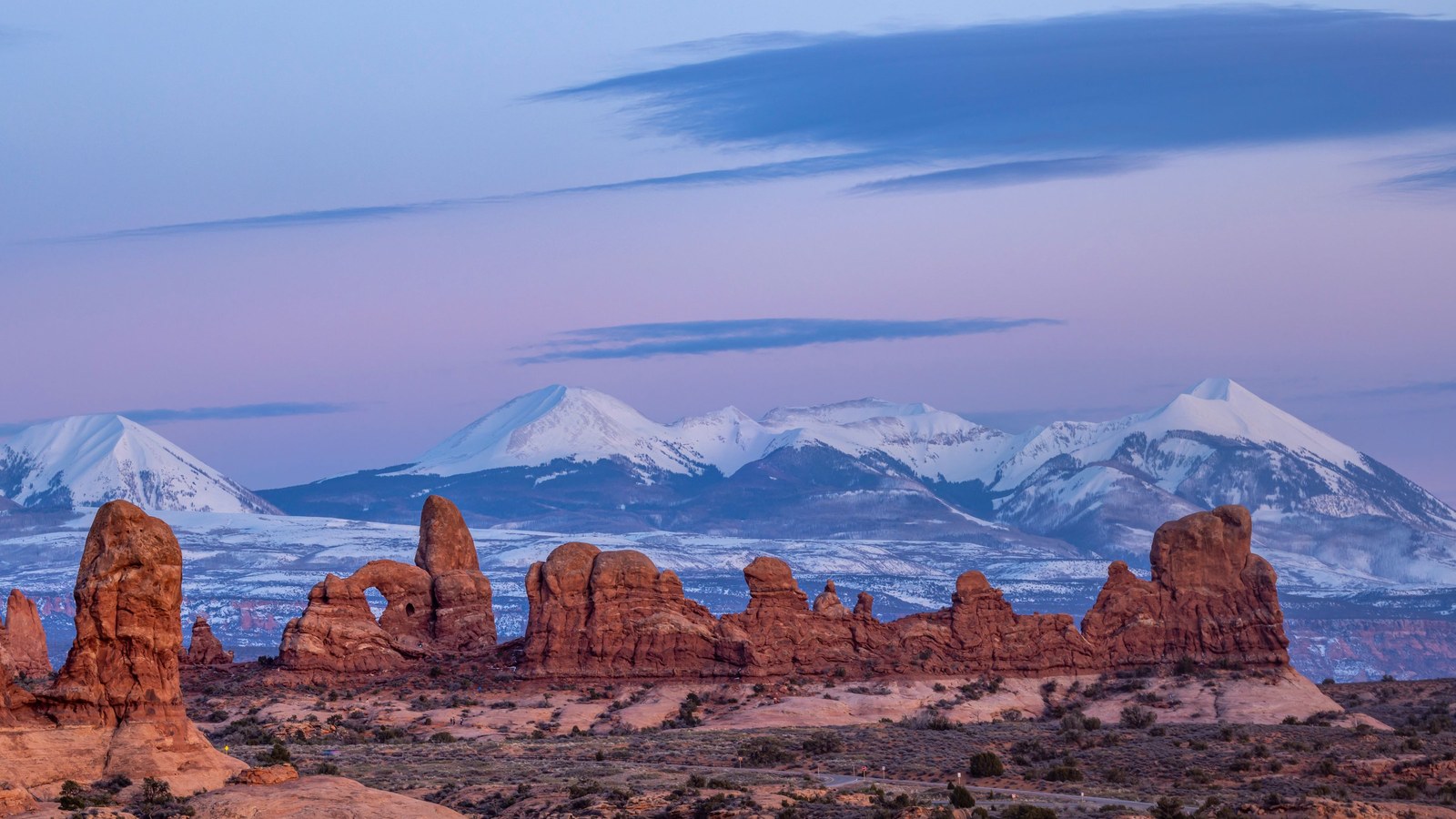 Photo: Stephen Leonardi / Pexels
If you want to put a name to the spires you can see toward the river, that is the Fisher Towers, the same towers Waring Mesa forms the high backdrop for from down at Highway 128.
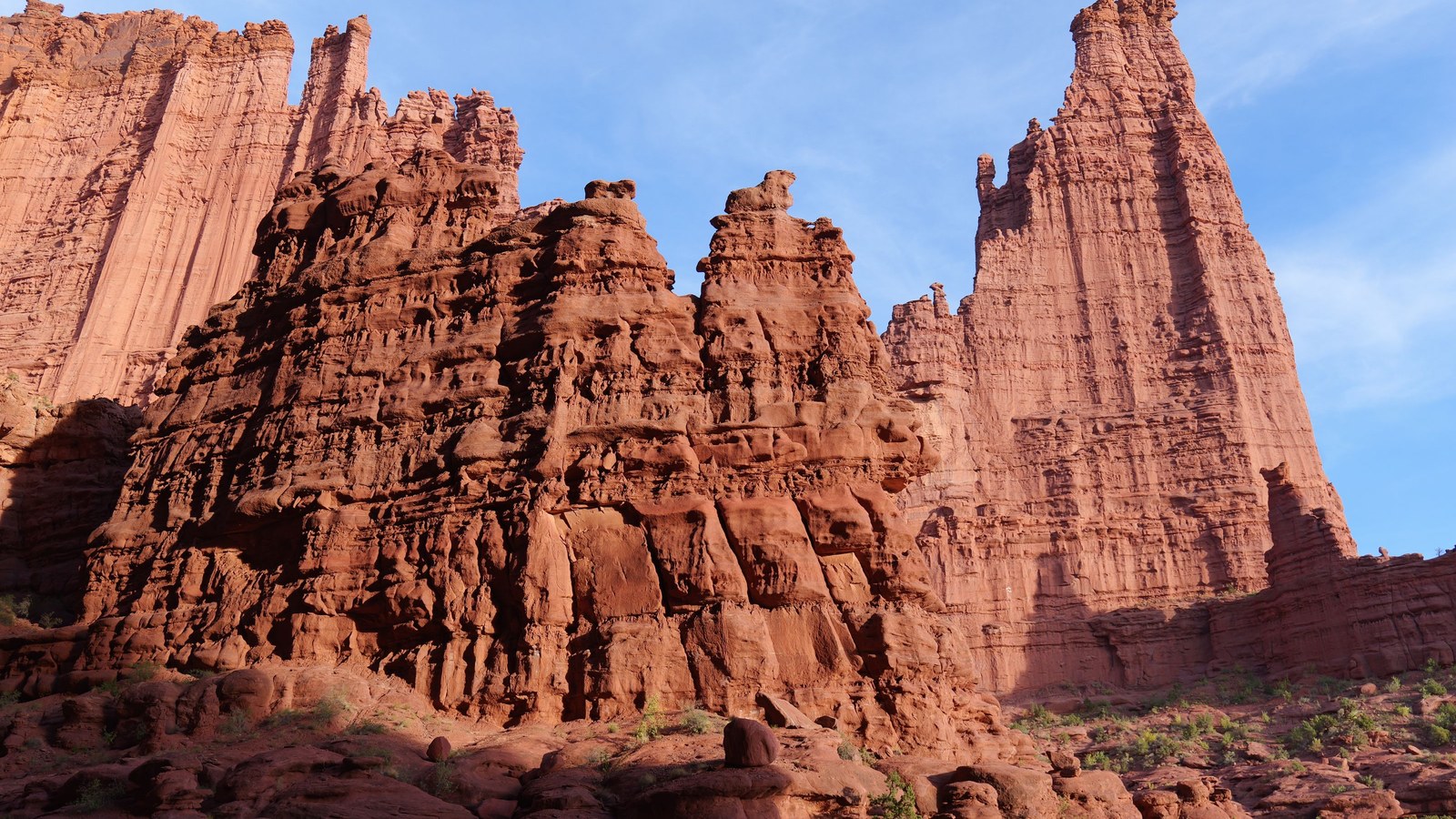 Photo: Ambient Vista / Pexels
The rig you actually need
Be honest with yourself, because the trail will be honest with you. The reviews are full of the same story: stock-ish 4x4s and rental Wranglers do make it up in dry conditions with careful driving and a willing spotter, and people also blow rack-and-pinions, puncture sidewalls, and beat skid plates within a half mile of the top. The difference is tires, clearance, lines, and patience.
Honest minimums:
- Tires: 33-inch tires are the realistic floor, and you will be working for it with a short wheelbase and careful placement. 35s make the day a lot calmer, and a lot of the rigs that cruise the worst spots are on 37s or bigger. The local club guidance leans toward 35-plus.
- Clearance and low range: high-clearance 4WD with low range, not a soft-roader. Lower-clearance crossovers should not be on this trail at all.
- Armor: skid plates are strongly recommended and rock sliders are genuinely useful. Several ledges and breakover points will reach for anything hanging low, and even well-built rigs on 37s report using their sliders here.
- Lockers: plenty of drivers run it with just a limited-slip and good lines, but at least one locker takes a lot of the drama out of the ledges, and front and rear is the comfortable setup. The club guidance calls for front and rear lockers.
- Wheelbase: shorter wheelbases have an easier time on the stair-steps. Full-size, long-wheelbase trucks can do it but will need extra time and care choosing lines on the breakover points.
You do not strictly need a winch to run the main line up and back in good conditions, but you should travel with a group and recovery gear regardless. A stuck rig on a tight ledge in the heat with no backup is how a good day turns into a bad one.
How long it really takes, and the mileage question
Top of the World gets quoted at a few different lengths depending on where you start counting, so here is the clean version. The trail is roughly 9 to 10 miles of dirt one way from the Highway 128 turnoff, which makes the off-pavement out-and-back somewhere around 19 miles round trip. That matches the figure trail apps like onX and AllTrails show. You will also see “74 miles” quoted, and that is the full round trip from the town of Moab including the highway drive out to the Dewey Bridge area and back, with about 10 of those miles being the actual dirt. Same trail, different starting line.
Plan for most of a day either way. Groups routinely spend five to seven-plus hours on the round trip with a stop at the top, because the climb is slow, the descent is slower, and you will want time at the overlook. The dirt is short, but it uses up the clock.
Rules, conditions, and pack-out
This is BLM-managed public land, and there is no special permit to drive the trail, but the usual red-rock rules are non-negotiable:
- Stay on the designated route. Do not cut new lines around obstacles or stack rocks into the trail. Erosion and freelancing are exactly how ledges grow and how access gets threatened. The route is the route.
- Pack out your waste. There is no shade, no water, and no facilities up here. Pack out all trash, and where developed restrooms are not available, solid human waste should be packed out in approved waste bags, per Moab-area guidance. Treat the mesa like the fragile desert it is.
- Travel prepared and self-sufficient. No water and no shade means you carry your own. Bring more than you think you need, especially in the shoulder seasons when the sun is still strong.
The continued access to trails like this depends on the off-road community policing itself. Drive the line, leave it cleaner than you found it, and it stays open.
Best season and weather
Run Top of the World in spring (roughly March through May) or fall (September through October). Those windows give you workable temperatures and the best odds of dry rock. The road is technically accessible year-round, but mid-summer means triple-digit heat on a slow, exposed, all-day trail with zero shade, and winter can bring ice and snow to the upper ledges that turns a hard trail into a sketchy one.
The bigger variable is moisture. Skip this trail on rainy days and right after storms. Wet slickrock gets unpredictable, the loose sections get worse, and a trail that is merely difficult when dry can turn genuinely dangerous when slick, with the added bonus that a stuck rig up here may well need a winch to recover. Snow lingers in the shady spots into spring, so check conditions before you commit to the climb.
Run it right
Top of the World delivers one of the best by-vehicle views in Moab, and it makes you earn it with a climb that gets meaner the higher you go. Show up with at least 33s and ideally 35s, real clearance, skid plates and sliders, a spotter, and a group. Air down at the Entrada Bluffs turnoff, take the ledges one careful line at a time, skip the gnarly top loop unless you came for it, and spot every drop on the way down. Stay on the route, pack out everything, and respect the wind and the edge at the rim. Do that, and you get the photo at the top of the world, with the truck to drive home.
Hero photo: Kelsey / Pexels